Western Greenway

Rockwoods Reservation to Meramec Greenway

A section of the Western Greenway: Hamilton-Carr Trail will be closed between Old State Road and Grand Avenue on Wednesday November 6 to allow crews to do to geotechnical drilling to evaluate soil conditions in preparation for a stream bank restoration project along the greenway. The rest of the Western and Meramec Greenways will be open. We will let you know if this schedule changes!

Date posted: 11/04/24

Description

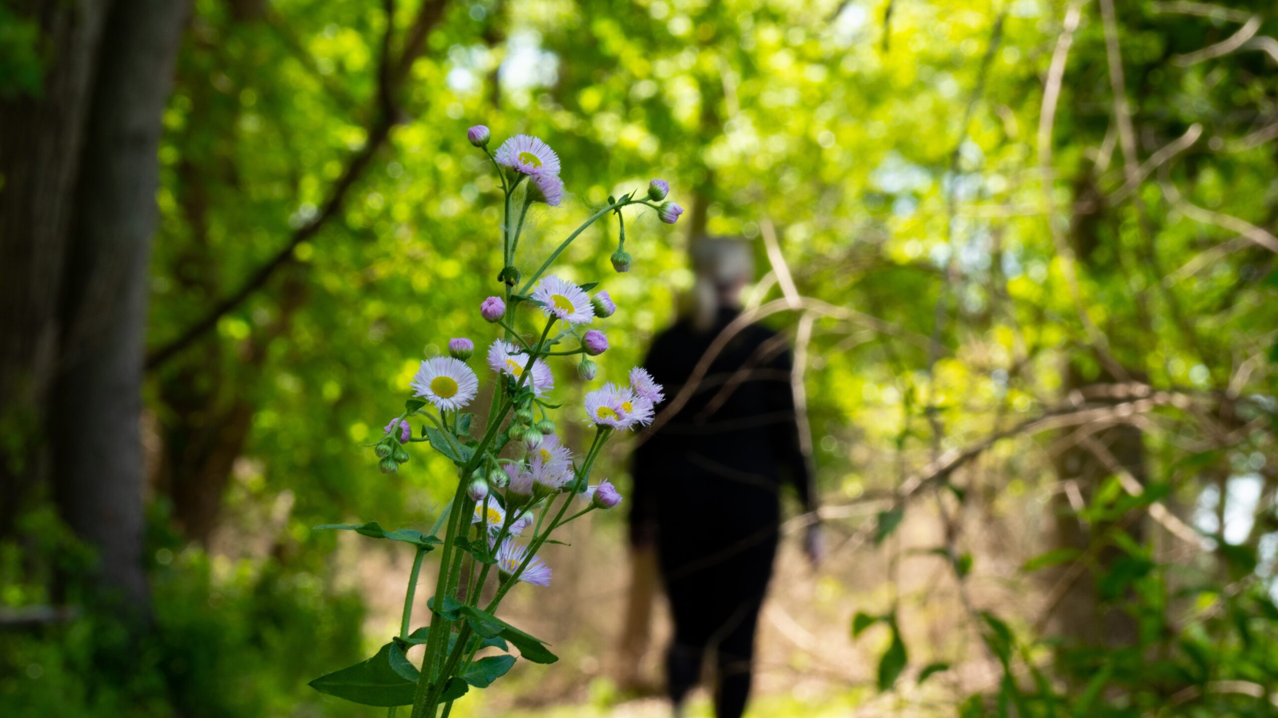
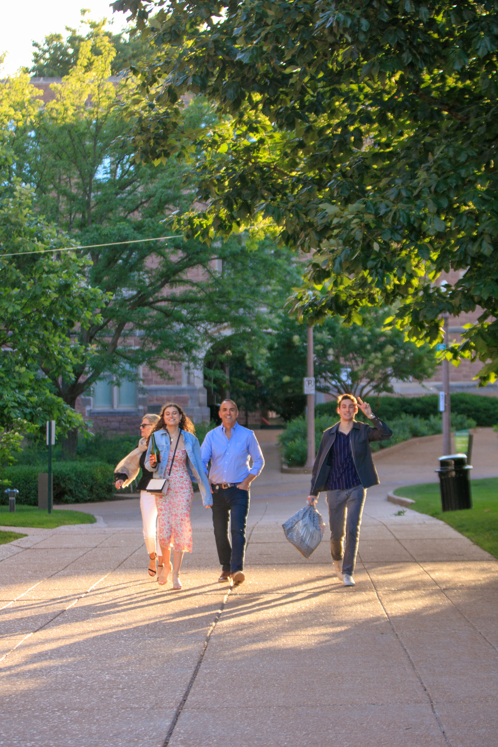
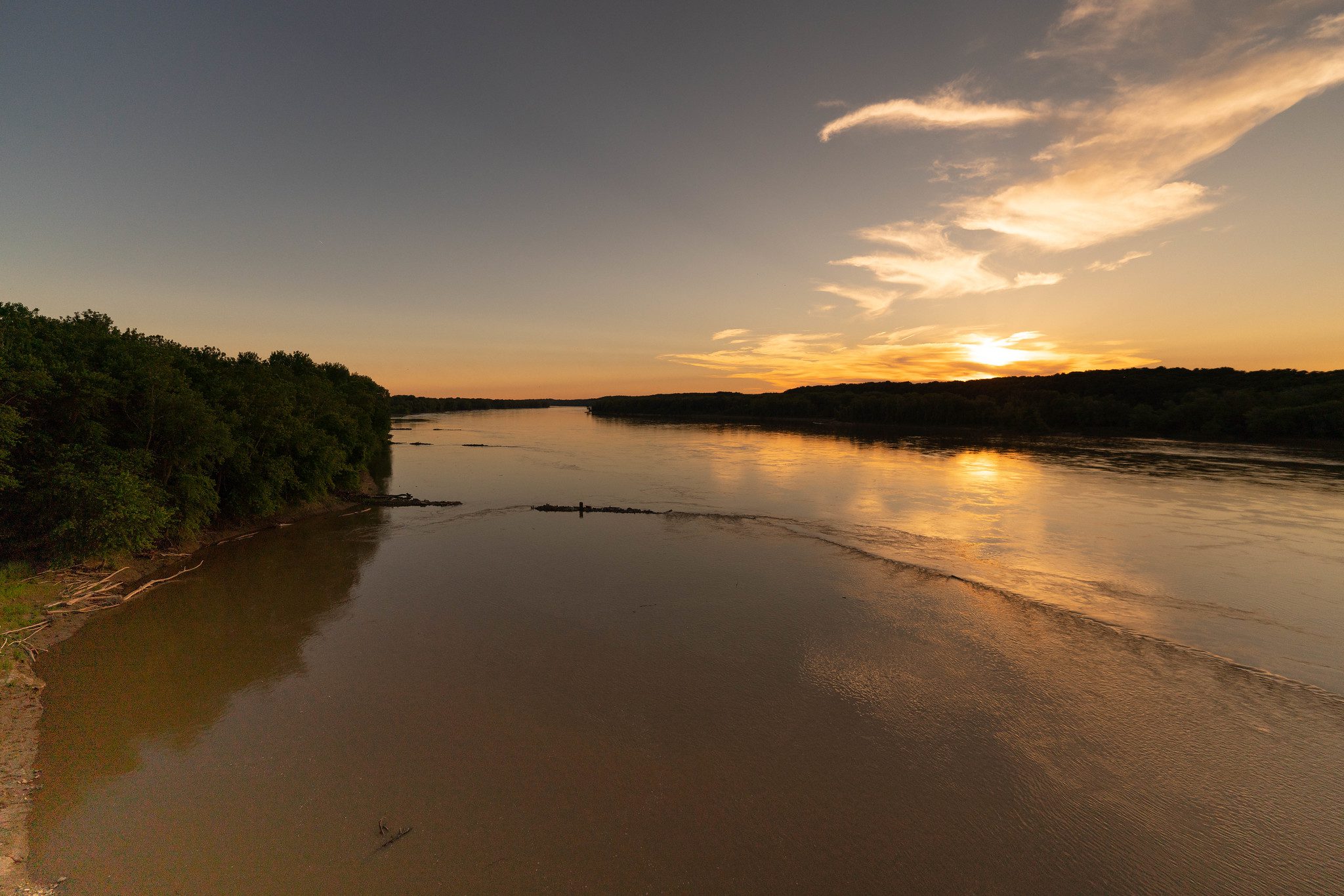
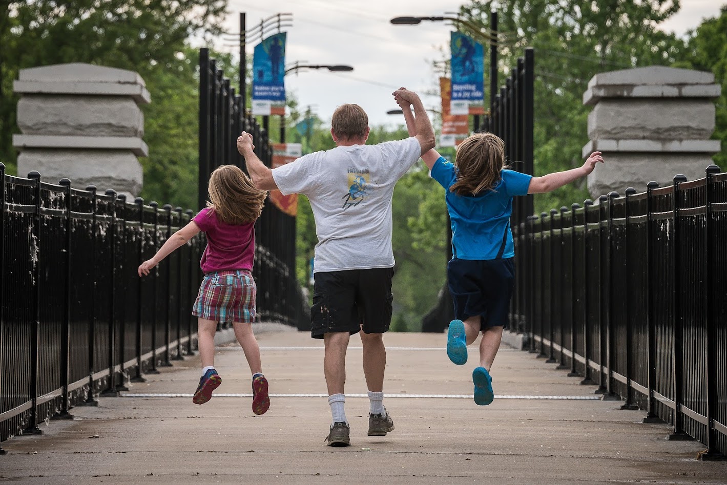
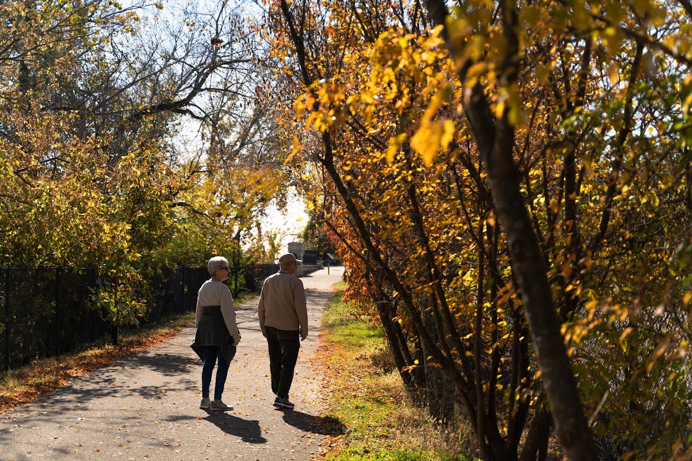
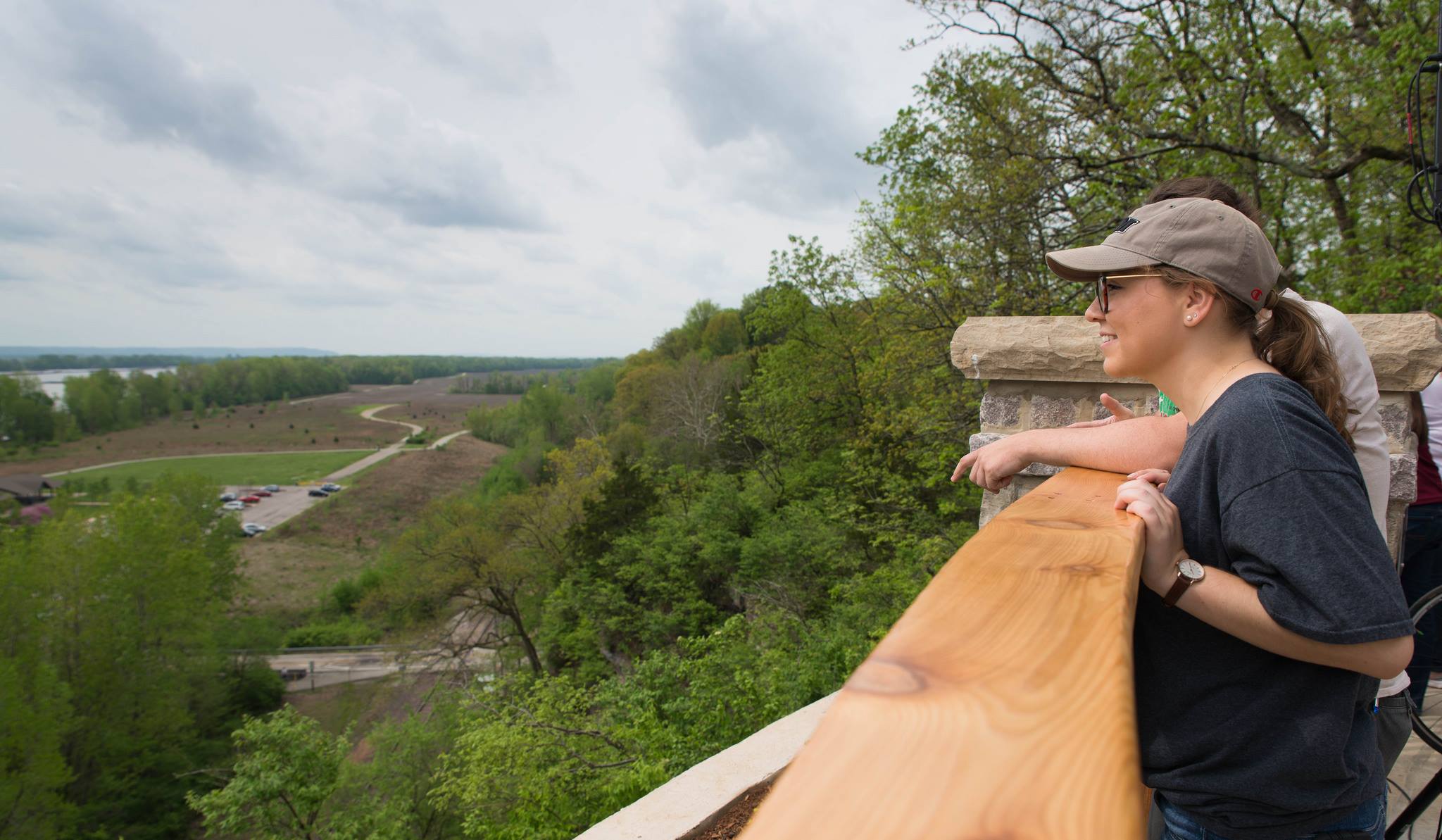
Babler State Park, Rockwoods Reservation and Greensfelder County Park all lie within the Western Greenway. The trails that lie within these greenways offer spectacular views and connections to nature!
See the full  plan for this greenway here.

Get Directions to Western Greenway: Rockwoods Reservation to Meramec Greenway

Getting There

The trailhead at the Wabash, Frisco and Pacific Railroad is located near Highway 109 and Old State Road in Wildwood. If you live near the La Salle Springs Middle School, you may be able to walk to this greenway.

Each greenway is managed in cooperation with different municipalities and parks departments, who set the rules for greenway use, parking and hours of operation. This greenway is managed by the City of Wildwood.

Things to Do

Explore History

You can explore history with the Wabash, Frisco and Pacific Steam Railroad in Glencoe. Check out the WFPRR website for more information.

Grill

You can grill out on the grills located in Glencoe City Park and at the picnic areas located in the Rockwoods Conservation Area.
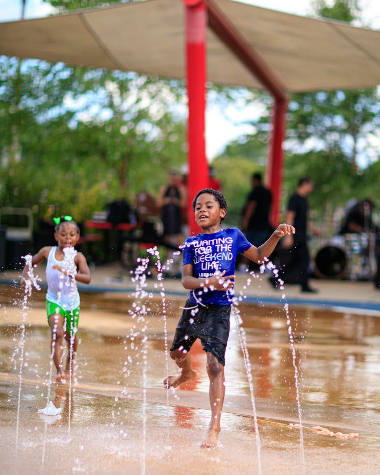
Play

You can play at Glencoe City Park in Wildwood.
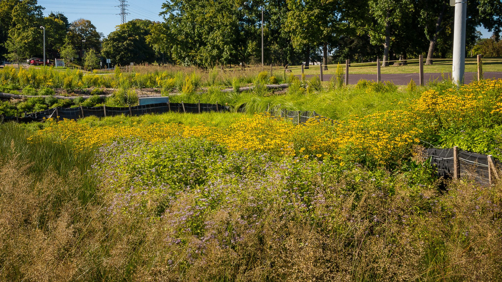
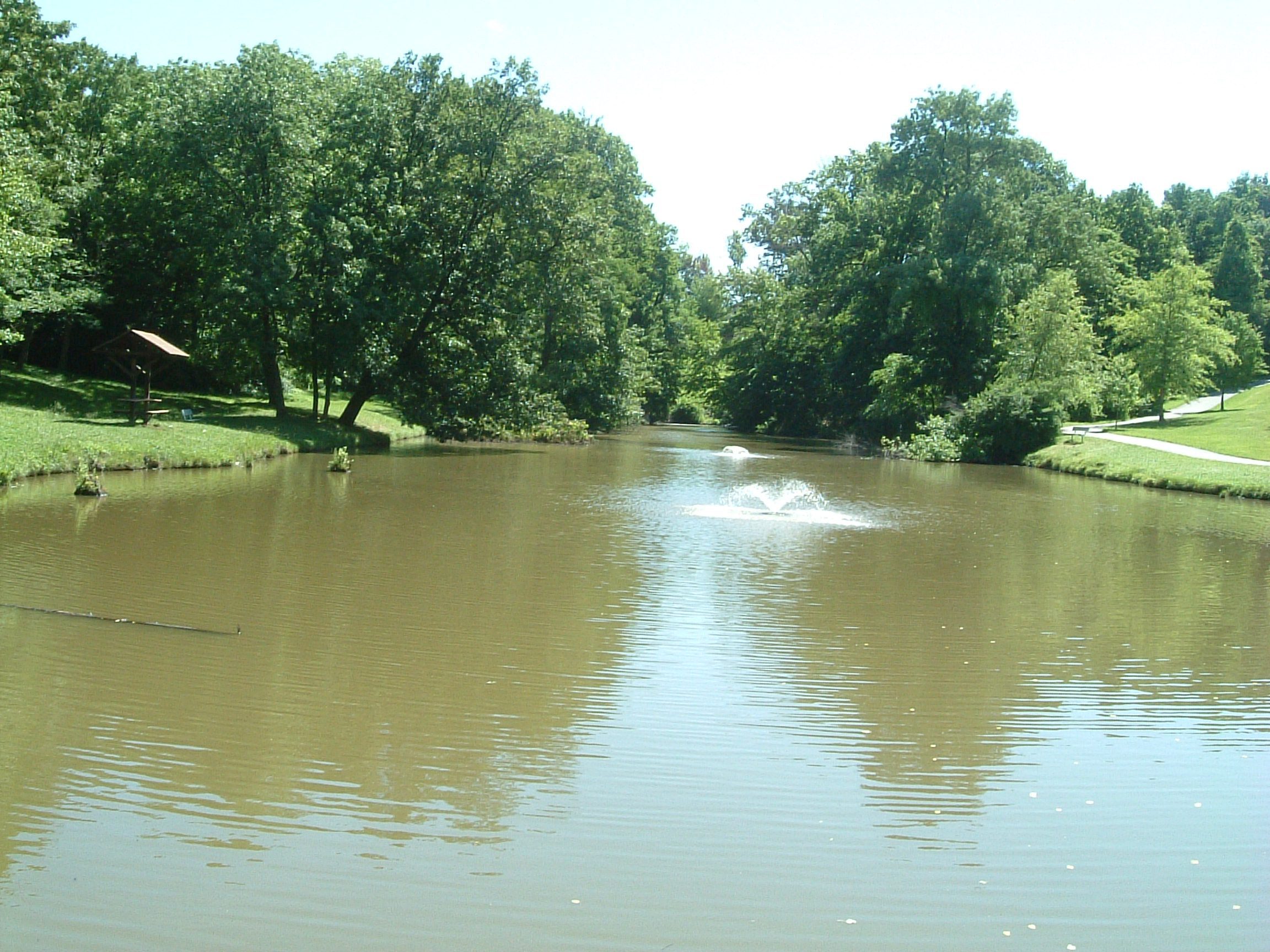
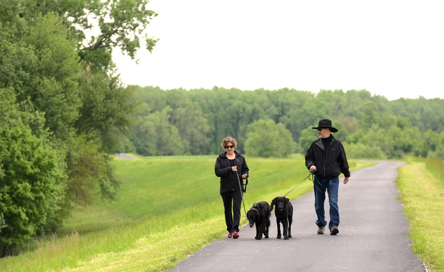
See Wildlife

You can enjoy observing wildlife in the The Rockwoods Conservation Area
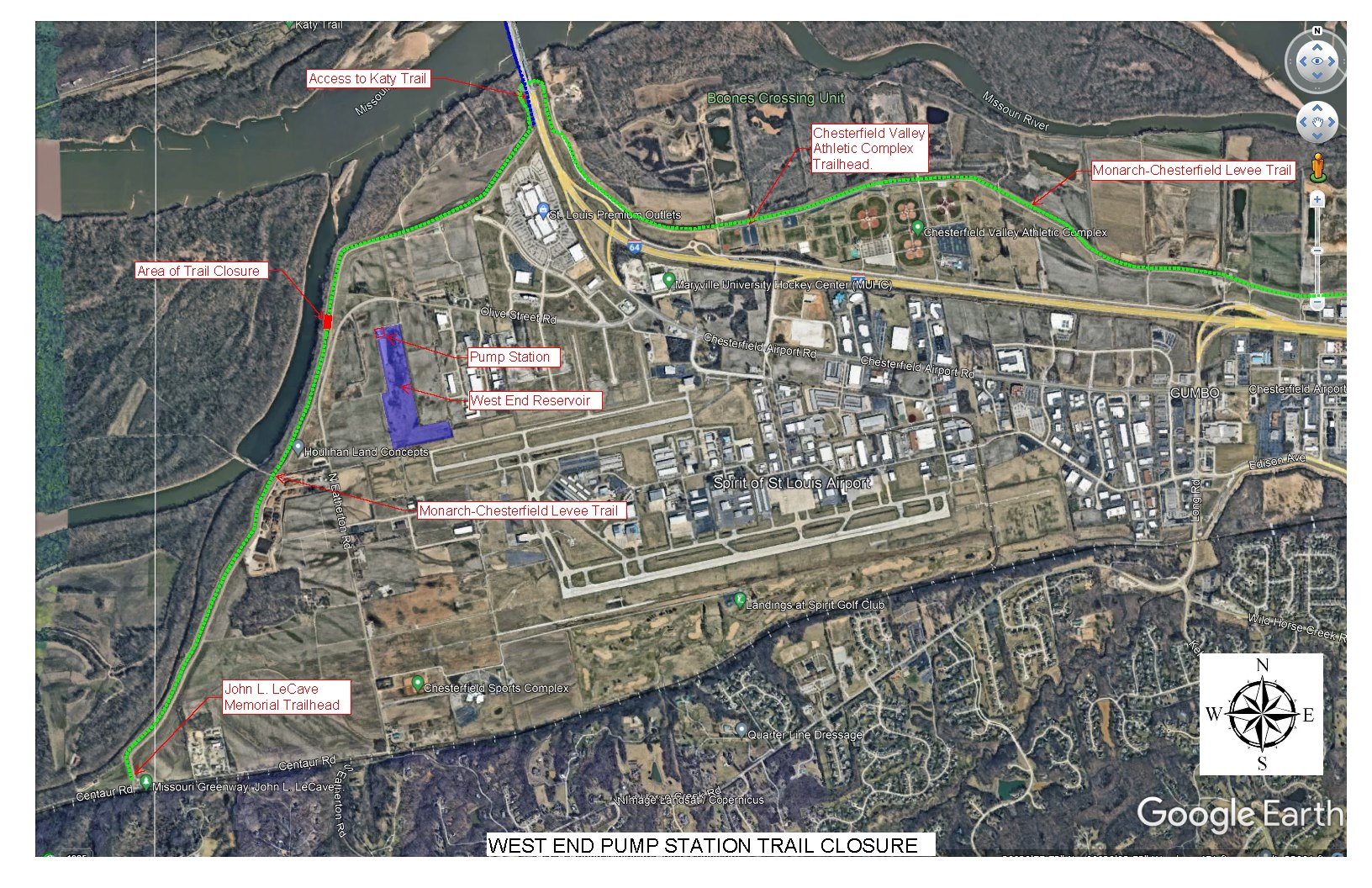
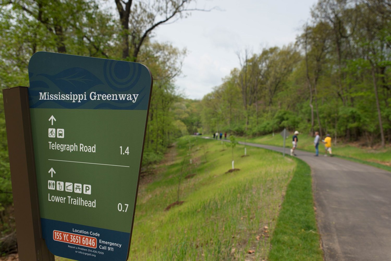
Trail Details

1.72 Miles

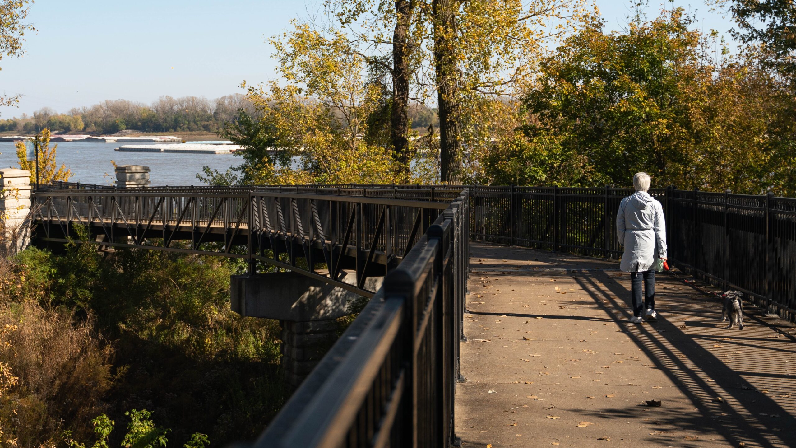
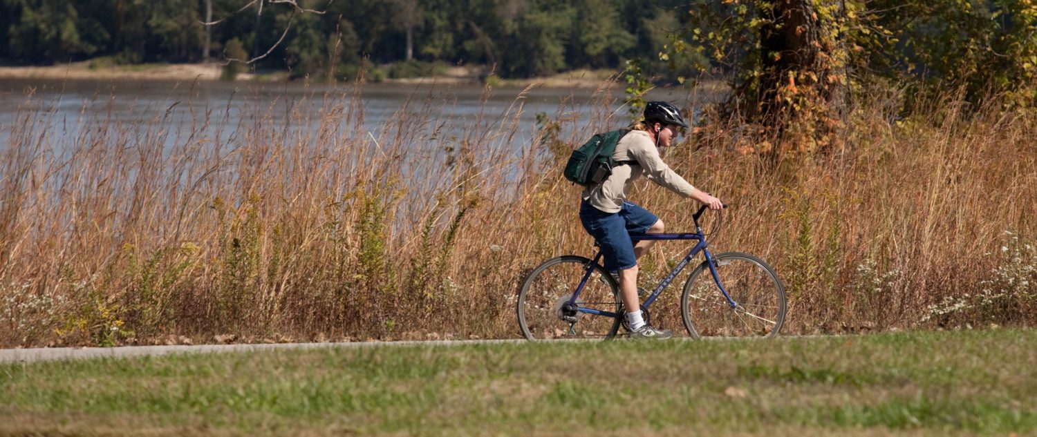
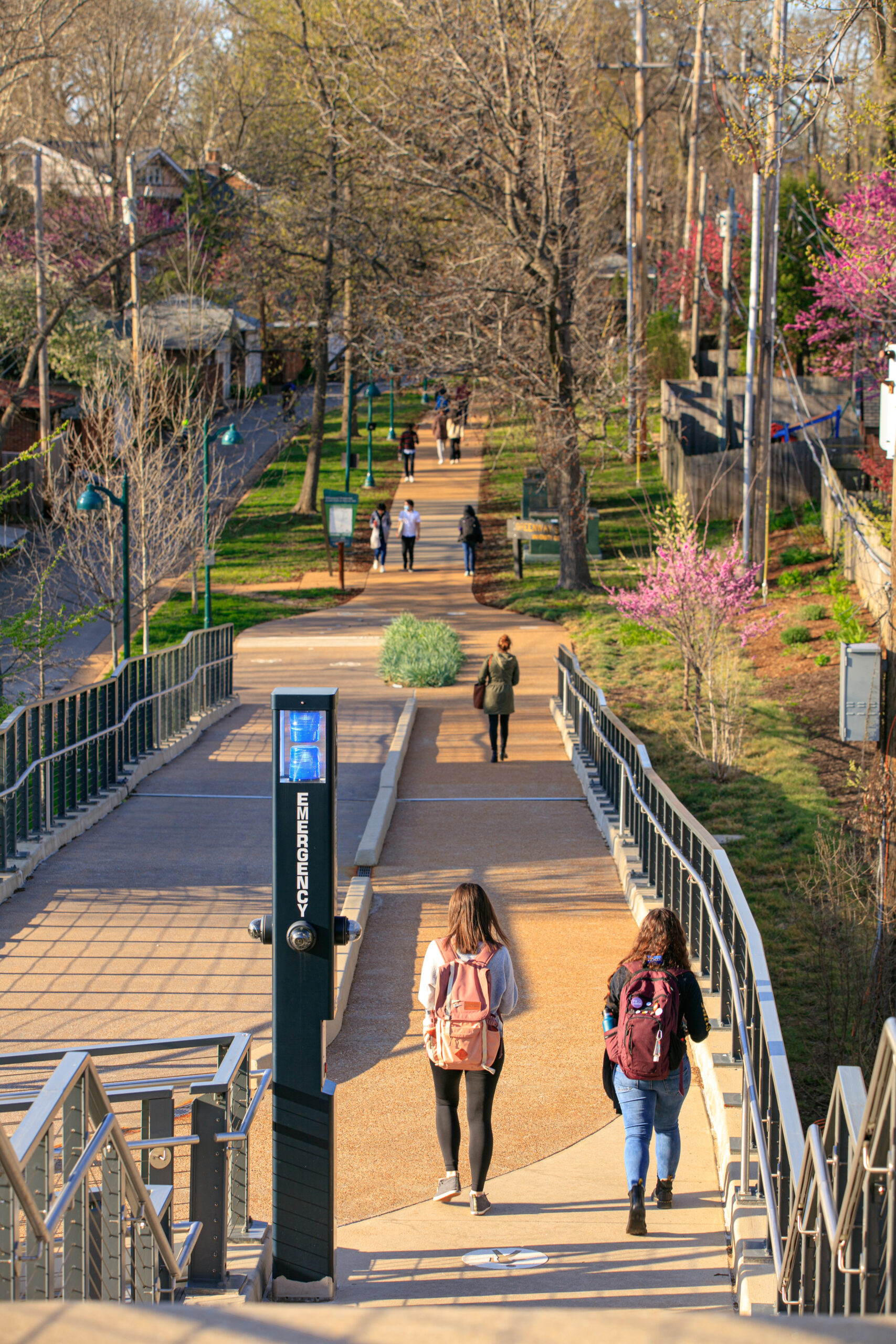
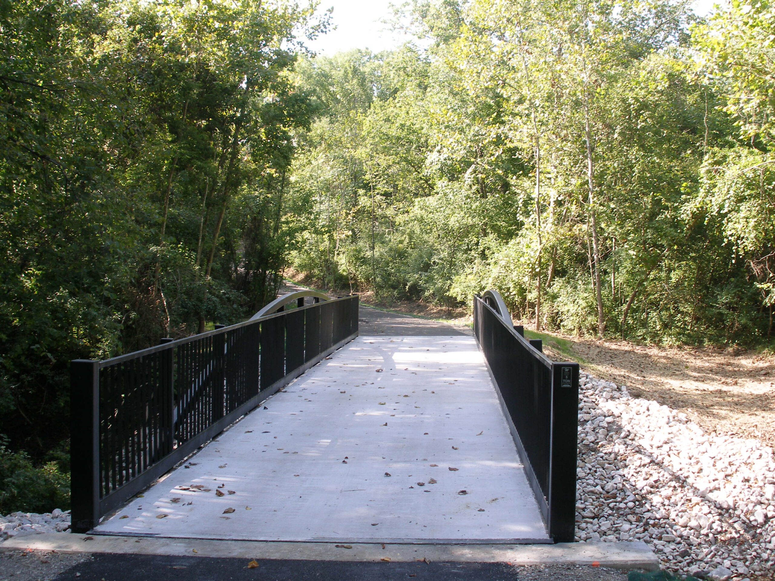
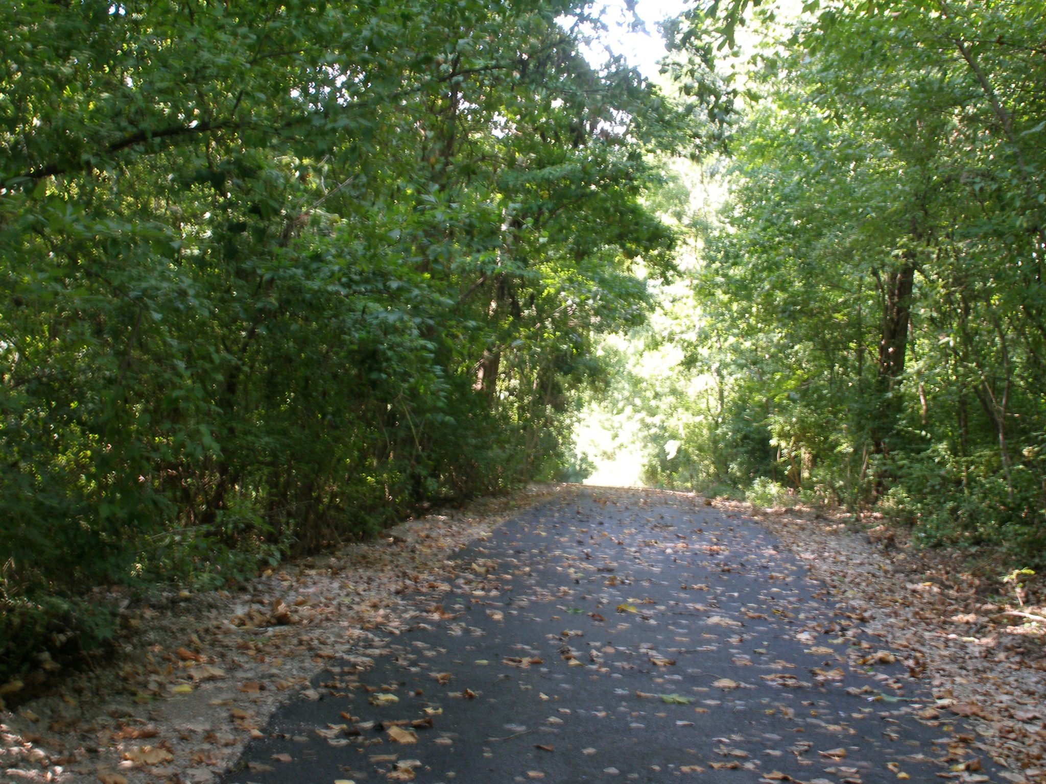
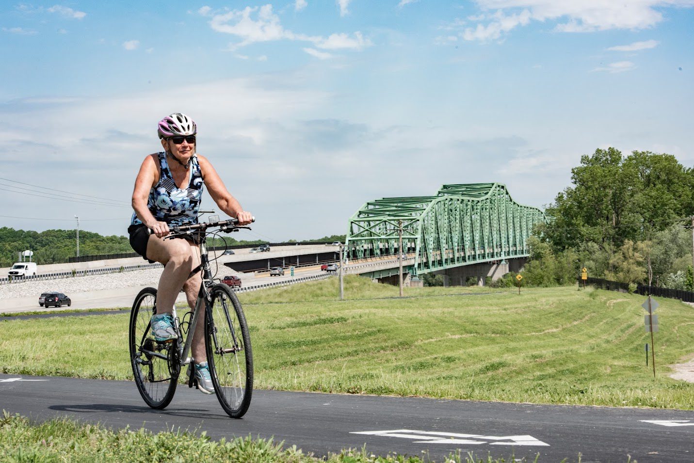
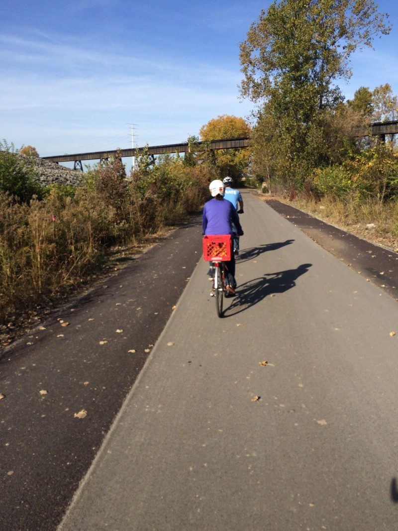
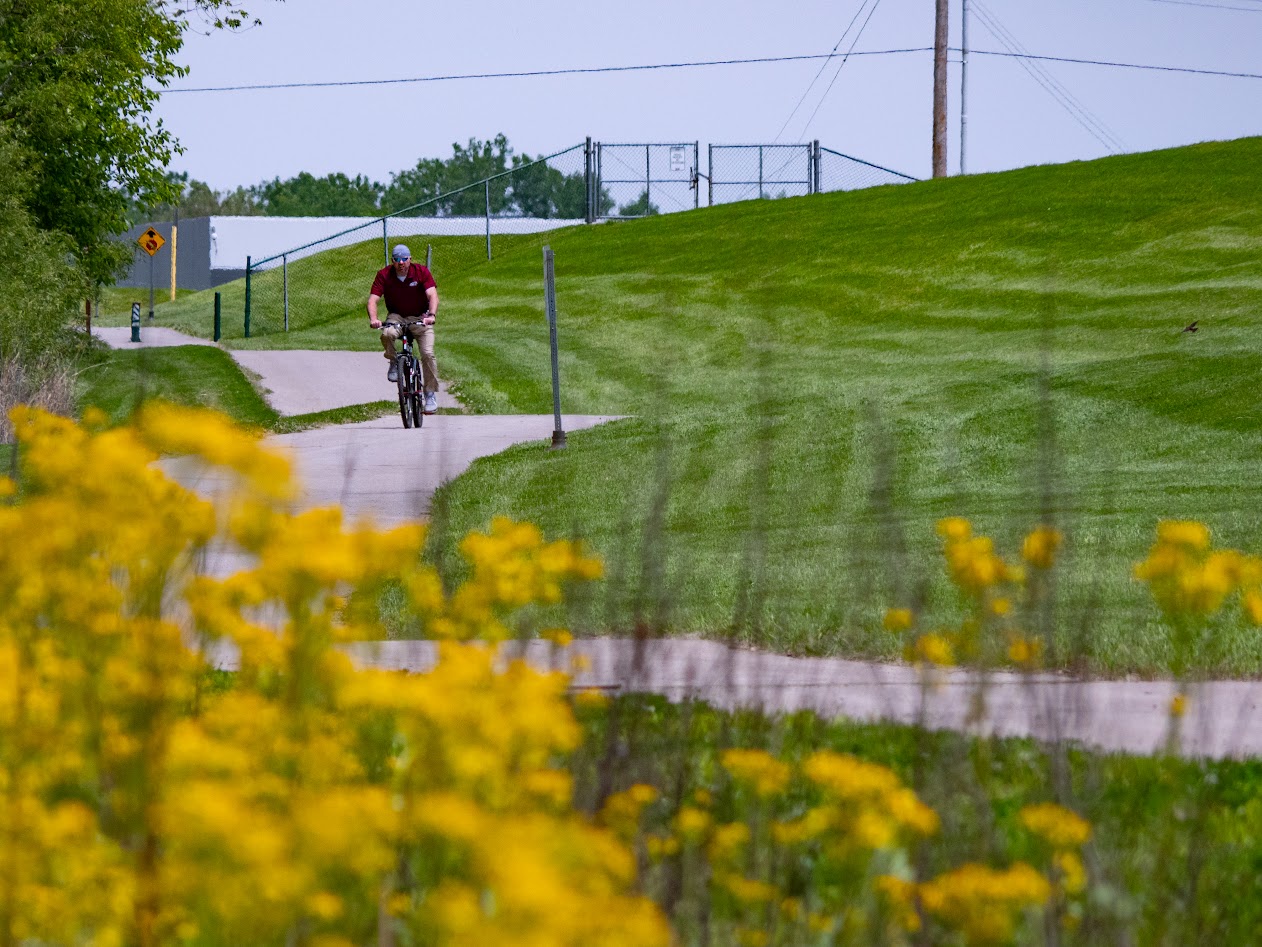
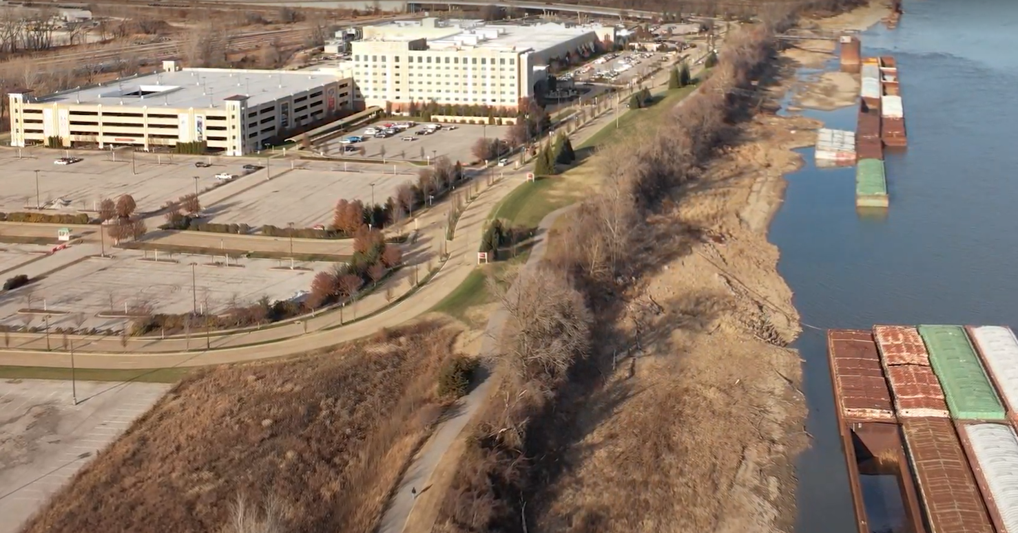
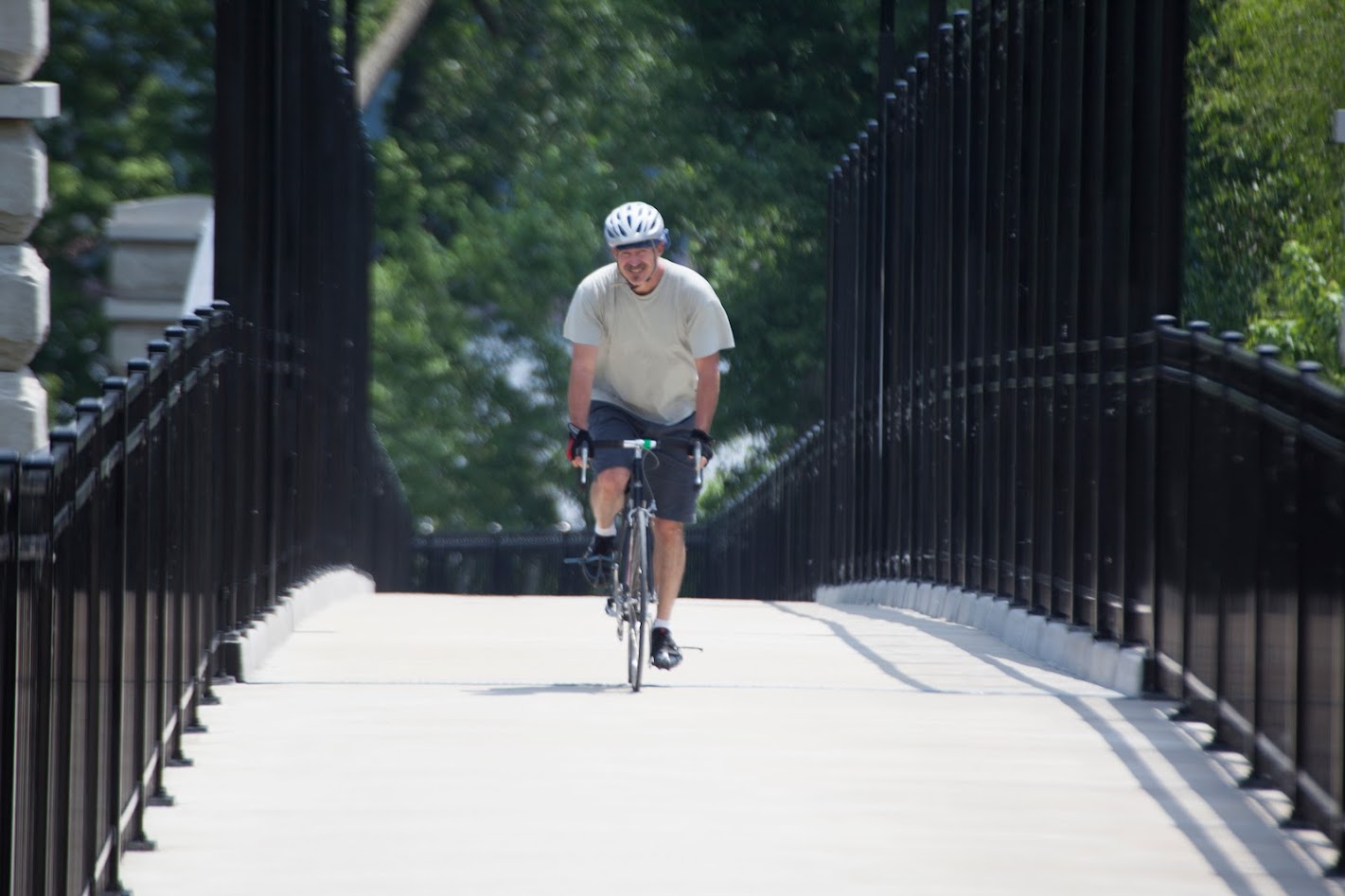
This greenway’s trail is also called the Hamilton Carr. It’s a 1.7-mile asphalt trail that connects the Wabash, Frisco and Pacific miniature railroad in Glencoe to Rockwoods Reservation. There are two tunnels; one under Old State Road and the other under Highway 109 that make it much safer for people who are walking or riding bikes to cross these busy roads.
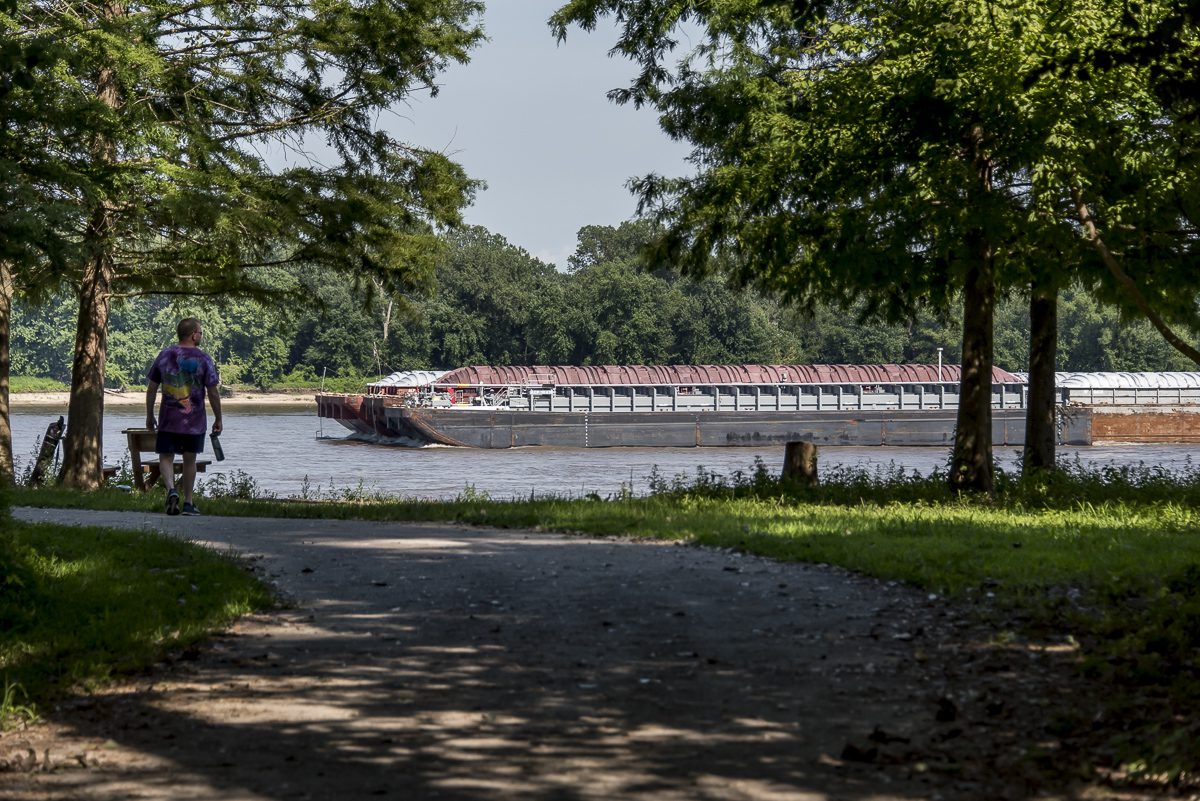
This trail also provides a connection to the Meramec Greenway: WFP Railroad to Sherman Beach Park which is flat, shady and made of crushed limestone. It will give you tremendous views of the Meramec River as you pass beside soaring limestone bluffs. The spur from that greenway, the Rock Hollow Trail is paved and stretches 2.2 miles up to Ridge Meadows Elementary School on Ridge Road. If you love a hill, you will love the Rock Hollow trail! If you don’t love a hill, the birds, wildlife and views make it worth the climb.
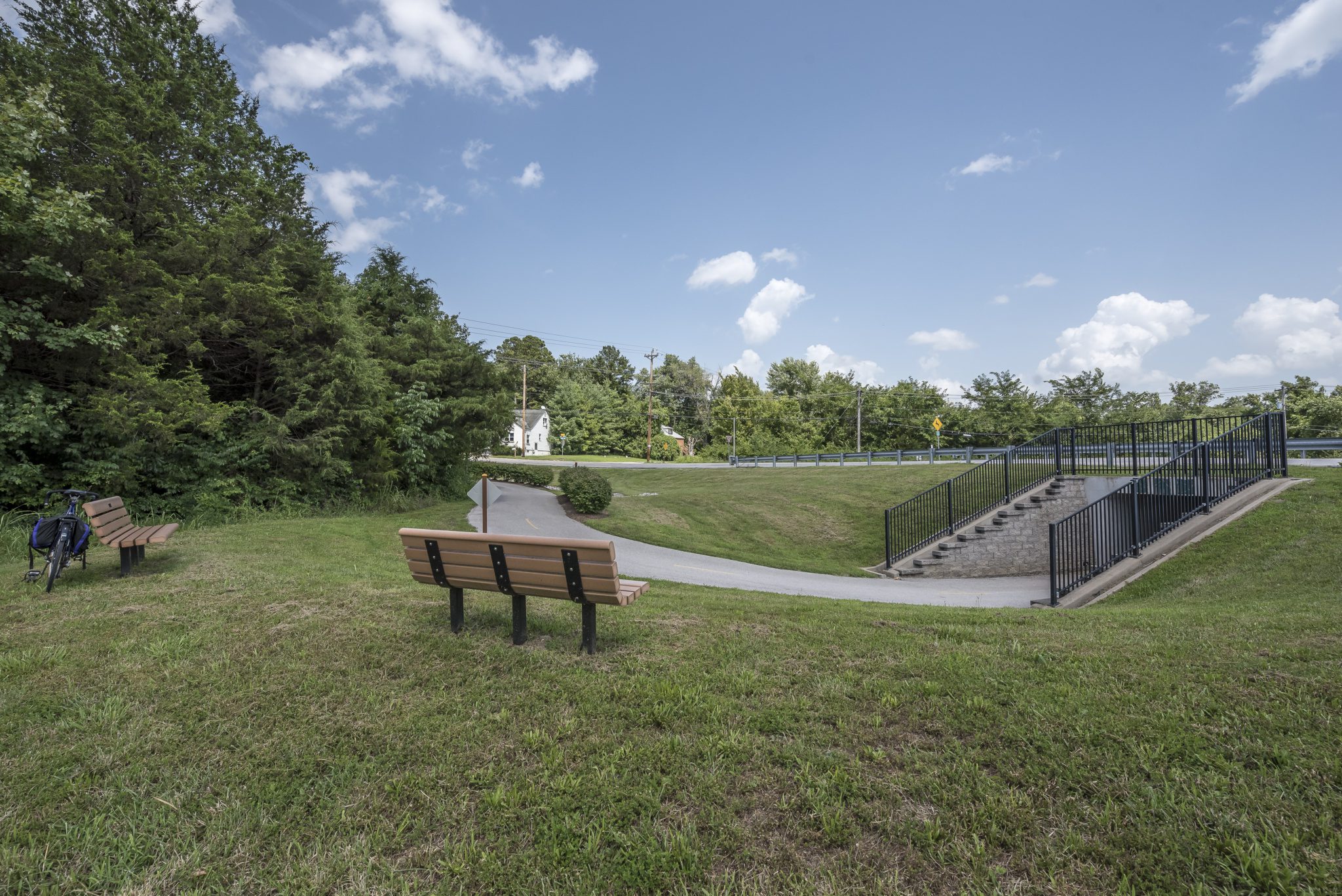
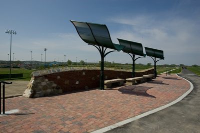
Download the Guide

Amenities

Benches

Parking

Playground

Restrooms

Shelters

Tables

Trash

Share Your Greenways Stories

Greenway stories are shared through art and signs, tours, digital content, outreach, and community events. These greenway stories are organized around themes of nature, culture, and history. Share your greenway story by visiting the Share Your Stories page or recording your story at 314-932-4904.

Share Your Story

Sunset Greenway

Old Town Florissant to Sunset Park

Description

Stop and have breakfast or lunch. Plan ahead and take advantage of Old Town Florissant partners special events such as their pancake breakfast or annual Fall Festival. Click here to learn more. If you want to learn more about the history of the area, take the “Old Town Florissant Walking Tour“. Or if you would prefer to park your bike and grab a bit to eat or get something to drink, click here to find out where you can shop and dine.
The greenway connects you to St. Ferdinand Park, a 64-acre park with picnic pavilions, lighted ball fields, four playground areas, sand volleyball courts and much more. It also passes by the historic St. Ferdinand Shrine, the oldest Catholic Church building between the Mississippi and the Rocky Mountains.
The master plan for this greenway is complete.

Get Directions to Sunset Greenway: Old Town Florissant to Sunset Park

Getting There

The trailhead at St. Ferdinand Park is located north of the intersection of I-270 and Lindbergh Boulevard (Highway 67) in Florissant. If you like to walk in St. Ferdinand park, give this greenway a try! If you live nearby there are several ways to walk to this greenway.

Each greenway is managed in cooperation with different municipalities and parks departments, who set the rules for greenway use, parking and hours of operation. This greenway is managed and maintained by the City of Florissant.

Things to Do

Fish

You can fish on the lake located in St. Ferdinand Park and access the Missouri River in Sunset Park.

Grill

You can grill out on the grills located in St. Ferdinand Park and Sunset Park.

Play

You can play on the playgrounds in St. Ferdinand Park in Florissant.

Trail Details

3.90 Miles

The Sunset Greenway has a 3.9-mile asphalt trail that extends from Sunset Park to Old Town Florissant. If you are lucky enough to watch the sun go down over the Missouri River in Sunset Park, you’ll know how the park got its name! Sunset Park is also home to the Sunset Nature Lodge.
This trail is mostly flat with both sun and shade. It has some steeper inclines in the section that takes you down to the river in Sunset Park.

Download the Guide

Amenities

Benches

Bike Racks

Drinking Water

Parking

Playground

Restrooms

Shelters

Tables

Trash

Share Your Greenways Stories

Greenway stories are shared through art and signs, tours, digital content, outreach, and community events. These greenway stories are organized around themes of nature, culture, and history. Share your greenway story by visiting the Share Your Stories page or recording your story at 314-932-4904.

Share Your Story

River des Peres Greenway

Francis R. Slay Park to Shrewsbury MetroLink, Carondelet and Lemay Parks

Description

This greenway travels through densely populated areas in south St. Louis, skirting the St. Louis city/county line, and crosses several major intersections including Lansdowne, Chippewa, Gravois and Morgan Ford. It also makes it easy to get to businesses, schools, neighborhoods, parks and transit. It links together multiple parks and green spaces including Francis R. Slay Park, Fultz Field, Old St. Marcus Cemetery and the Christy Greenway.
The Christy Greenway extends from the River des Peres greenway to Holly Hills Boulevard, where you connect to on-street routes that will take you to Carondelet Park. You can also connect to the paved Carondelet Connector trail at Germania and Highway 55. From there, you can walk or ride to Loughborough Commons, Carondelet Park and the YMCA.
There are restrooms, multiple rain gardens, playgrounds and water fountains to enjoy along the way. This greenway passes by several parks and greenspaces. Visit the St. Louis City Parks website to learn more about each park!
See the full plan for this greenway here.

Get Directions to River des Peres Greenway: Francis R. Slay Park to Shrewsbury MetroLink, Carondelet and Lemay Parks and Gravois Greenway

Getting There

The north end of the greenway is near the intersection of Ellendale and Canterbury. There are also a direct connection to the Shrewsbury-Lansdowne Metrolink Station at the intersection of Lansdowne Avenue and River Des Peres Boulevard. If you live nearby, there are several ways to walk to this greenway. You can also walk to this greenway on the Christy Greenway or from Carondelet or Lemay Park.

Each greenway is managed in cooperation with different municipalities and parks departments, who set the rules for greenway use, parking and hours of operation. The section of greenway from Lemay Park to Slay Park is the City of St. Louis. The section from Lemay Park to River City Casino Blvd. is St. Louis County Parks Department.

Things to Do

Explore History

You can explore history at the Lyle House in Carondelet Park.

Fish

You can fish at the lakes in Carondelet Park and Willmore Park. You can access Willmore Park by crossing River Des Peres at Gravois Avenue and heading West on Hampton Avenue.

Grill

You can grill out on the grills located in Carondelet Park and Willmore Park. You can access Willmore Park by crossing River Des Peres at Gravois Avenue and heading West on Hampton Avenue.

Play

You can play on the playgrounds and sports fields in Carondelet Park, Joseph R. Leisure Park, and River Des Peres Park. You can also play on the playgrounds, disc golf course or dog park in Willmore Park. You can access Willmore Park by crossing River Des Peres at Gravois Avenue and heading West on Hampton Avenue.

Swim

You can swim at the YMCA Rec Plex in Carondelet Park.

Trail Details

9.90 Miles

The paved trail in the River des Peres Greenway stretches from Francis R. Slay Park to Carondelet and Lemay Parks. Thanks to the new bridge over River des Peres (just east of Highway 55) the greenway also connects to the Gravois Greenway.
The trail is mostly flat and sunny. The section between Lansdowne and Gravois avenues was  rebuilt in 2013, offering a smooth ride and gentle sloping grades. It has a bit less traffic then the nearby Grant’s Trail, making it a great place for a slow-paced family ride. There are restrooms as well as a couple of playgrounds along the way. There is also a bicycle education area directly off the trail to help teach kiddos the rules of the road.
About halfway between the Lansdowne and Alabama avenues, you can connect to the Christy Greenway; a neighborhood greenway that will take you approximately 1 mile to Holly Hills Boulevard. Once there, you can connect  to Carondelet Park via on street routes.
The Carondelet Connector trail spurs off the River des Peres Trail at the intersection of Highway 55 and Germania Road. You can walk or ride your bike on the paved trail and connect to all of the businesses at Loughborough Commons as well as Carondelet Park near the YMCA.

Download the Guide

Amenities

Benches

Bike Racks

Drinking Water

Parking

Playground

Restrooms

Shelters

Tables

Trash

Share Your Greenways Stories

Greenway stories are shared through art and signs, tours, digital content, outreach, and community events. These greenway stories are organized around themes of nature, culture, and history. Share your greenway story by visiting the Share Your Stories page or recording your story at 314-932-4904.

Share Your Story

St. Vincent Greenway

Forest Park to Trojan Park to Wellston MetroLink

Description

This segment of greenway connects to St. Louis’s crown jewel,  Forest Park, at the Missouri History Museum. It crosses Delmar and meanders through Ruth Porter Mall Park on its way to Trojan Park.  There is a new “pocket park” overlooking Engeholm Creek at the intersection of Stephen Jones and Plymouth Avenues. You can also connect to all of the amazing attractions found in Forest Park–the St. Louis Zoo,  Art Museum, golf course, bike and walking trails, the Muny and much more! You can also stop and spend some time in Wellston’s Trojan Park and enjoy the splash pad, three playgrounds, full court basketball court, butterfly gardens or just relax and enjoy the fresh air

See the full plan for this greenway here!

Get Directions to St. Vincent Greenway: Forest Park to Trojan Park to Wellston MetroLink

Getting There

This greenway is in the city of St. Louis, north of Forest Park and the Skinker-DeBaliviere neighborhood. It also passes through the City of Wellston from Trojan Park to its current endpoint just past the Wellston MetroLink station at Robert Powell Place and Plymouth Ave. You can access it near the intersections of Delmar Boulevard and DeBaliviere Avenue,  Etzel Avenue and North Skinker Boulevard and Lindell at  the Missouri History Museum. If you visit the Delmar Loop, you can walk to explore this greenway. If you live nearby, there are several access points to this greenway.

Each greenway is managed in cooperation with different municipalities and parks departments, who set the rules for greenway use, parking and hours of operation. The section of greenway  from Forest Park to Skinker is managed by the City of St. Louis in partnership with Great Rivers Greenway. Trojan Park and the adjacent parking lot is Great Rivers Greenway, Wellston and St. Louis County. The segment from Trojan Park to Robert Powell Place is Great Rivers Greenway and the City of Wellston.


Things to Do

Dine

There are several places for you to dine in the Delmar Loop.

Play

You can play in the water at the splash and play pad located on Delmar Boulevard or in Trojan Park.

Swim

You can play in the water at the splash and play pad located on Delmar Boulevard or in Trojan Park.

Trail Details

2.49 Miles

This paved asphalt trail is 2.5 miles long and extends from Lindell at the Missouri History Museum, running parallel to DeBaliviere Avenue north through Ruth Porter Mall Park. It continues  onto a wide sidewalk along Etzel Avenue to North Skinker Boulevard at Trojan Park. From Trojan Park it runs north on Stephen Jones Avenue, heads west on Plymouth Avenue with a direct connection to the Wellston MetroLink Station. It ends at Robert Powell Place. It crosses over several residential streets making, it an easy way to walk or ride bikes around the neighborhood. People of all ages use the paved trail to walk to Ruth Porter Mall Park  or Trojan park to enjoy summertime concerts, picnics and the splash pad.
The trail is mostly flat with a mix of sun and shade.

Download the Guide

Amenities

Benches

Bike Racks

Drinking Water

Parking

Shelters

Tables

Trash

Share Your Greenways Stories

Greenway stories are shared through art and signs, tours, digital content, outreach, and community events. These greenway stories are organized around themes of nature, culture, and history. Share your greenway story by visiting the Share Your Stories page or recording your story at 314-932-4904.

Share Your Story

Centennial Greenway

Forest Park to Washington University to Vernon

Description

It links together some of our city’s most treasured places and cultural institutions, including Forest Park, Washington University, historic neighborhoods and the Delmar Loop, which was named one of the top 10 Great Streets in America.
See the full plan for this greenway here!

Get Directions to Centennial Greenway: Forest Park to Washington University to Vernon

Getting There

This greenway begins on the Washington University campus at the intersection of Skinker Boulevard and Forsyth Boulevard. You can also get to this greenway at the intersection of Delmar Boulevard and Melville Avenue. If you are visiting the Delmar Loop, a student at Washington University, enjoying Forest Park, or live nearby, you can easily walk to this greenway.

This greenway is managed in cooperation with Washington University and University City, who set the rules for greenway use, parking and hours of operation. Please be sure to follow all posted rules and regulations while you are living life outside!

Things to Do

Boat

You can rent a paddleboat at The Boathouse in Forest Park.

Dine

There are several places to dine in Forest Park and on the Delmar Loop.

Explore History

You can explore history at the Missouri History Museum in Forest Park. You can also learn about famous St. Louisans on the Delmar Loop Walk of Fame.

Fish

You can fish at many of the lakes and lagoons located in Forest Park.

Grill

There are places you can grill out located throughout Forest Park.

Play

Forest Park is full of places to play. Check out the City of St. Louis website for more information

See Wildlife

Check out the wildlife at the St. Louis Zoo in Forest Park.

Trail Details

1.35 Miles

This 1.35-mile paved trail extends from Skinker and Forsyth boulevards at Forest Park and heads west through the campus of Washington University. It passes the Olin Library and crosses over Forest Park Parkway via a pedestrian bridge.
The trail continues north on Kingsbury to Delmar Boulevard where it connects to a pedestrian plaza that features a life size statue of St. Louis’ own “Father of Rock and Roll” Chuck Berry. Beyond the Plaza , the trail continues north along Ackert Walkway through University City’s Parkview Gardens neighborhood.
Along the way, this trail provides a flat and shady walk or bicycle ride. You will pass by historic homes and once you arrive on Delmar Boulevard, can enjoy a meal at one of The Loop’s popular restaurants or simply sit and enjoy a cold drink or coffee. There are plenty of bike racks along the way that make it easy to park your bike and explore!  You can also access the Delmar Metrolink Station and connect to places around the region.

Download the Guide

Amenities

Benches

Bike Racks

Drinking Water

Parking

Playground

Restrooms

Shelters

Tables

Trash

Share Your Greenways Stories

Greenway stories are shared through art and signs, tours, digital content, outreach, and community events. These greenway stories are organized around themes of nature, culture, and history. Share your greenway story by visiting the Share Your Stories page or recording your story at 314-932-4904.

Share Your Story

Missouri Greenway

Truman Park

Description

It lies partially within the city of Hazelwood in north St. Louis County and is comprised of river bottom lands, parks, fields and residential areas. You can also enjoy views of Audubon Creek from the bridge along the trail. There are places for having a picnic, playing volleyball as well as a playground for children.
Check out the full plan for this greenway here!

Get Directions to Missouri Greenway: Truman Park

Getting There

The trailhead in Truman Park is located near the intersection of North Lindbergh Boulevard (Highway 67) and I-270 on Howdershell Road in Hazelwood. If you live nearby, you may be able to walk to this greenway.

This greenway is managed and maintained by the City of Hazelwood.

Things to Do

Fish

You can fish on the lake in Truman Park.

Grill

You can grill out on the grills located in Truman Park.

Play

You can play on the playgrounds in Truman Park or play a game of volleyball.

See Wildlife

You may spot some wildlife in the woods at Truman Park.

Trail Details

0.36 Miles

There is a little more than a third of a mile paved trail that extends from the fishing pond at the north of Harry S. Truman Park in Hazelwood toward the St. Stanislaus Conservation area.
It is mostly shady with some rolling hills and is a quiet and peaceful place to walk, ride a bike or just sit and enjoy the sounds of birds chirping in the woods! There is parking at a trailhead near Truman Park pond.

Download the Guide

Amenities

Benches

Drinking Water

Parking

Playground

Restrooms

Shelters

Tables

Trash

Share Your Greenways Stories

Greenway stories are shared through art and signs, tours, digital content, outreach, and community events. These greenway stories are organized around themes of nature, culture, and history. Share your greenway story by visiting the Share Your Stories page or recording your story at 314-932-4904.

Share Your Story

Missouri Greenway

Monarch Chesterfield Levee

Starting February 10, 2025, through late June 2025, a 220-foot section of the Monarch-Chesterfield Levee trail will be closed to allow essential upgrades and infrastructure improvements to a stormwater pump station in Chesterfield Valley. This station helps remove stormwater from the levee-protected area, and these improvements will enhance drainage and flood protection.

During construction, trail users can access the trail on both sides of the closure. However, you will not be able to travel between the John. L LeCave Memorial Trailhead and the Katy Trail. For your safety, please respect all signage and construction barriers. The City of Chesterfield thanks you for your patience while these necessary improvements are completed!

Check out the map to see exact location of closure.

Date posted: 01/29/2025

Description

A 5.6-mile segment is now complete from TOPGOLF St. Louis to the Chesterfield Valley Athletic Complex and over the Missouri River to connect with the Katy Trail and the Busch Greenway. You can also follow the greenway in the other direction 3 miles to Centaur Road. A 2-mile segment has also been completed on the Monarch Levee from Long Road to Baxter Road.  A small parking lot is available off Eatherton.

Now that the bridge is open, there are 10.6 miles of trail built in this greenway!

Check out the full plan for this greenway here!

Get Directions to Missouri Greenway: Monarch Chesterfield Levee

Getting There

You can get to this greenway by taking I-64 into the Chesterfield Valley.

Each greenway is managed in cooperation with different municipalities and parks departments, who set the rules for greenway use, parking and hours of operation. The segment from TopGolf to Howell Island is manaed by City of Chesterfield. The segment from Howell Island to John LeCave Trailhead is the City of Wildwood.

Things to Do

Boat

You can kayak or canoe on the lake in River’s Edge Park.

Dine

You can access the dining options located in the St. Louis Premium Outlets in Chesterfield. Check out a list of dining options on their website. You can also check out The District in Chesterfield.

Fish

You can fish on the lake in River’s Edge Park. You can also access the Missouri River to fish from this park.

Play

You can play on the playgrounds in the Chesterfield Valley Athletic Complex.

See Wildlife

You can enjoy observing wildlife at River’s Edge Park.

Trail Details

11.09 Miles

This is a very flat, sunny trail great for exercising! There are some benches and shade structures along the way for respite.

Download the Guide

Amenities

Benches

Bike Racks

Drinking Water

Parking

Playground

Restrooms

Shelters

Tables

Trash

Share Your Greenways Stories

Greenway stories are shared through art and signs, tours, digital content, outreach, and community events. These greenway stories are organized around themes of nature, culture, and history. Share your greenway story by visiting the Share Your Stories page or recording your story at 314-932-4904.

Share Your Story

Missouri Greenway

Earth City Levee

Note that the middle section of the trail in Riverwoods Park (parallel to the Missouri River) is permanently closed due to multiple flooding events. You can still walk, bike or run on the rest of the greenway, but will need to turn around at the points of closure. And don’t worry, you can still enjoy sweeping views of the river and historic St. Charles on the other side!  Click here for a map of the closure.

Description

The greenway is mostly flat and offers shade in the portion that travels through Bridgeton’s Riverwoods Park. You can enjoy the hardwood forest, wetlands and up-close views of the river. There are also restrooms, drinking fountains and picnic tables to make a day of it! The greenway continues along the the Earth City Levee, where you can walk, ride and get some fresh air in the sunshine all the way to the parking lot just past the Highway 370 bridge. You can also stop and rest on a bench or enjoy a picnic at one of the tables at the Riverwoods Park Trailhead.
Check out the full plan for this greenway here!

Get Directions to Missouri Greenway: Earth City Levee

Getting There

The trailhead in Riverwoods Park is located near the intersection of Earth City Parkway (Highway 141) and St. Charles Rock Road.

Each greenway is managed in cooperation with different municipalities and parks departments, who set the rules for greenway use, parking and hours of operation. The segment of greenway in Riverwoods Park is managed by the City of Bridgeton.

Things to Do

See Wildlife

The Missouri River and the wetland forests in Riverwoods Park attract a wide variety of wildlife.

Trail Details

4.70 Miles

This 4.7-mile paved trail is mostly sunny with close to 3 miles of shade in the portion through Riverwoods Park. Due to multiple flooding events, the middle section of the Riverwoods Trail along the Missouri River is now permanently closed. The greenway within the park is still open as an out-and-back path, but you will need to turn around at the points of closure. It is a quiet and peaceful trail tucked away along the Missouri River. It is a great trail for young children to ride their bikes or walk because it is flat and less crowded. It will appeal to anyone looking for a quiet, more rural paved trail for walking or bike riding. On the northern end of the greenway at 370, you can connect to a new separated walking and biking lane that will take you over the Missouri River where you can connect to the KATY Trail.

Download the Guide

Amenities

Benches

Bike Racks

Parking

Restrooms

Shelters

Tables

Trash

Share Your Greenways Stories

Greenway stories are shared through art and signs, tours, digital content, outreach, and community events. These greenway stories are organized around themes of nature, culture, and history. Share your greenway story by visiting the Share Your Stories page or recording your story at 314-932-4904.

Share Your Story

Mississippi Greenway

Jefferson Barracks Park to River City Casino

Description

You can explore the many trails crisscrossing Jefferson Barracks Park, visit two museums and watch the barges as they make their way up and down the river. Or, if you want a little peace and quiet, relax on a park bench and enjoy the sunshine, solitude and views.  Go here to learn more about what you can see and do in the park and learn more about all the paved trails in Jefferson Barracks Park. You can also visit the Pavilion at Lemay Park that features a gym, outdoor pool, indoor track and fitness classes.
The historic Notre Dame Motherhouse and Notre Dame High School is just up the hill behind the paved trail and you can also see the bluffs on the Illinois side of the river. Restrooms are available at the trailhead at Gark & Bagby.
See the full plan for this greenway here. 

Get Directions to Mississippi Greenway: Jefferson Barracks Park to River City Casino

Getting There

You can access this trail off of Telegraph Road in south St. Louis County.

Each greenway is managed in cooperation with different municipalities and parks departments, who set the rules for greenway use, parking and hours of operation. The section in the park and along the river is managed by St. Louis County Parks. The section of greenway along the River City Casino property is managed by the Casino.

Things to Do

Explore History

You can explore the history of Jefferson Barracks at the museums located around the park. Check out the St. Louis County Parks Department website for more info.

Grill

You can grill out on grills located throughout Jefferson Barracks Park.

Play

You can play disc golf or use the archery range in Jefferson Barracks Park.

Trail Details

1.74 Miles

This 1.7-mile paved trail extends from the trailhead in Jefferson Barracks Park to the north side of the River City Casino property. It is flat and very sunny; offering unparalleled views of the Mississippi River and barge traffic.

Download the Guide

Amenities

Benches

Bike Racks

Drinking Water

Parking

Restrooms

Shelters

Tables

Trash

Share Your Greenways Stories

Greenway stories are shared through art and signs, tours, digital content, outreach, and community events. These greenway stories are organized around themes of nature, culture, and history. Share your greenway story by visiting the Share Your Stories page or recording your story at 314-932-4904.

Share Your Story

Mississippi Greenway

Cliff Cave Park

Description

This unique park within the greenway gets its name from the cave tucked in the bluffs of south St. Louis County.  There is tremendous folklore surrounding the area, including stories from its past as a riverside tavern during the early exploration days of Missouri, a hideout for horse thieves as well a summer camping area for Native Americans. It is known for its Karst topography – a region where the bedrock has been dissolved or collapsed, leading to caves or sinkholes.
The park offers hiking, mountain biking, and equestrian trails as well as picnic areas and shelters. You can enjoy both sun and shade as you explore trails in this section of the greenway. Click here for more information about the River Bluff and Spring Valley trails in Cliff Cave Park.
This area attracts hundreds of migratory birds in the spring and fall. In the summer, you can see Great Blue Herons and Egrets. Some bottomland woodlands and wetlands can be seen from the greenway.
Click here for the master plan and current status for this greenway!

Get Directions to Mississippi Greenway: Cliff Cave Park

Getting There

You can get to this greenway on Telegraph Road in south St. Louis County.

Each greenway is managed in cooperation with different municipalities and parks departments, who set the rules for greenway use, parking and hours of operation. Greenways often span multiple municipalities, so please be aware that these rules can change as you travel along the trail. Please be sure to follow all posted rules and regulations while you are living life outside!

Click one of the buttons below to plan your route with Google Maps.

Things to Do

Fish

You can fish on the Mississippi River in Cliff Cave Park.

Grill

You can grill out on the grills located in Cliff Cave Park.

See Wildlife

You can observe wildlife in Cliff Cave Park.

Trail Details

6.69 Miles

The Mississippi Trail is a 6.7-mile paved, loop asphalt trail that circles the floodplain bottomland. There is very little shade on this stretch of greenway, so be sure to bring water during the summer months. You can walk, run or ride along the trail and enjoy views of the Mississippi River. The 2.04 mile extension completed in May 2018 travels up the bluff to a new scenic overlook and a connection to Telegraph Rd. It offers a lot of tree cover, so is a nice choice on a hot summer day.
This is a quiet, rural place to enjoy nature.  After a snowstorm, this area is perfect for cross country skiing.
There are two other unpaved trails in this section of greenway, the flat, 1-mile River Bluff Trail that offers an outstanding view of the river and surrounding valley from atop the bluff. You can also explore the 3-mile, moderately hilly Spring Valley Trail.

Download the Guide

Amenities

Benches

Parking

Restrooms

Shelters

Tables

Trash

Share Your Greenways Stories

Greenway stories are shared through art and signs, tours, digital content, outreach, and community events. These greenway stories are organized around themes of nature, culture, and history. Share your greenway story by visiting the Share Your Stories page or recording your story at 314-932-4904.

Share Your Story