 Contact
 Donate
 Languages
 Events
 Visit Greenways
 Get Involved
 How We Work
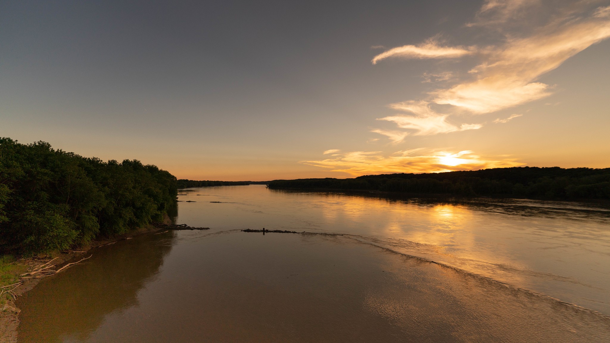
About
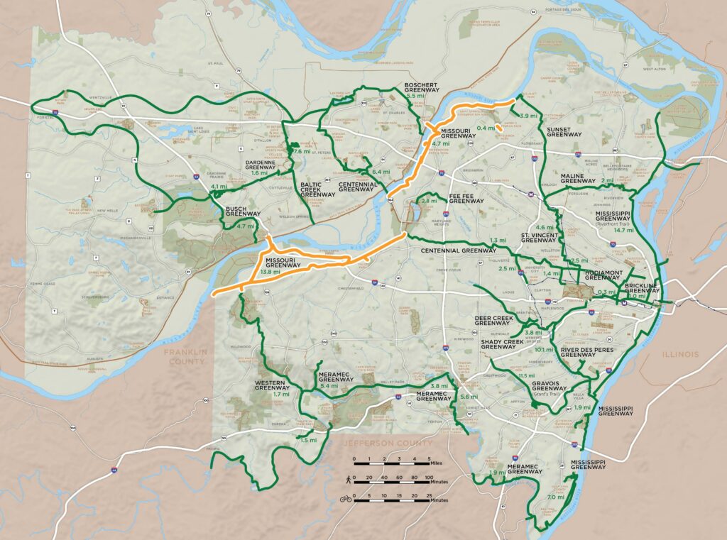
The plan for the Missouri Greenway is a 55-mile (river mile) corridor that begins at the confluence of the Mighty Mississippi and the Missouri River and runs west to Boone’s Crossing in Chesterfield. The greenway will connect to the Mississippi Greenway, Sunset Greenway, Centennial Greenway, Fee Fee Greenway and Western Greenway; linking together the St. Louis County communities of Chesterfield, Maryland Heights, Bridgeton, Hazelwood, Florissant, and Spanish Lake.
Please note, if you saw dashed lines representing “Future Greenways” on the interactive map but don’t see those segments listed here, those projects are part of the overall plan but haven’t yet been studied individually. As soon as there is information to share and an opportunity for community engagement, those projects will have their own pages linked here!
Greenways to Visit
- Missouri Greenway: Earth City Levee
- Missouri Greenway: Monarch Chesterfield Levee
- Missouri Greenway: Truman Park