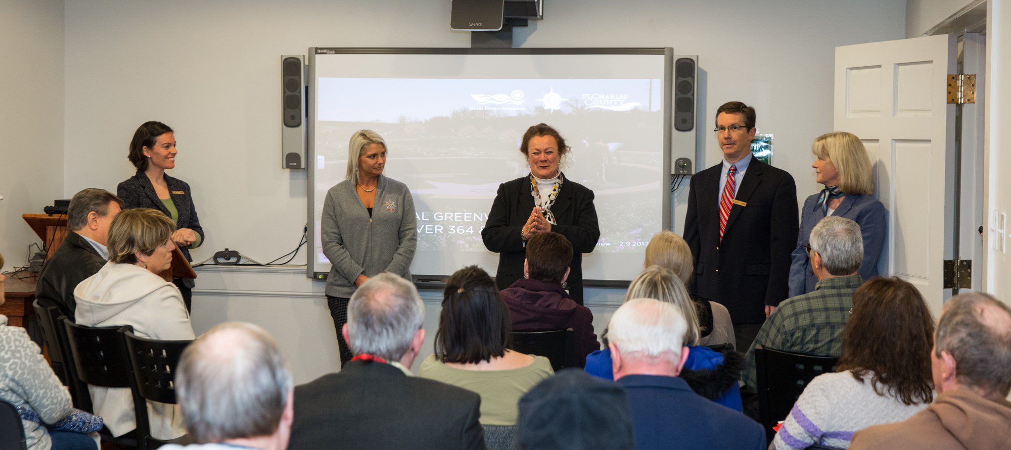
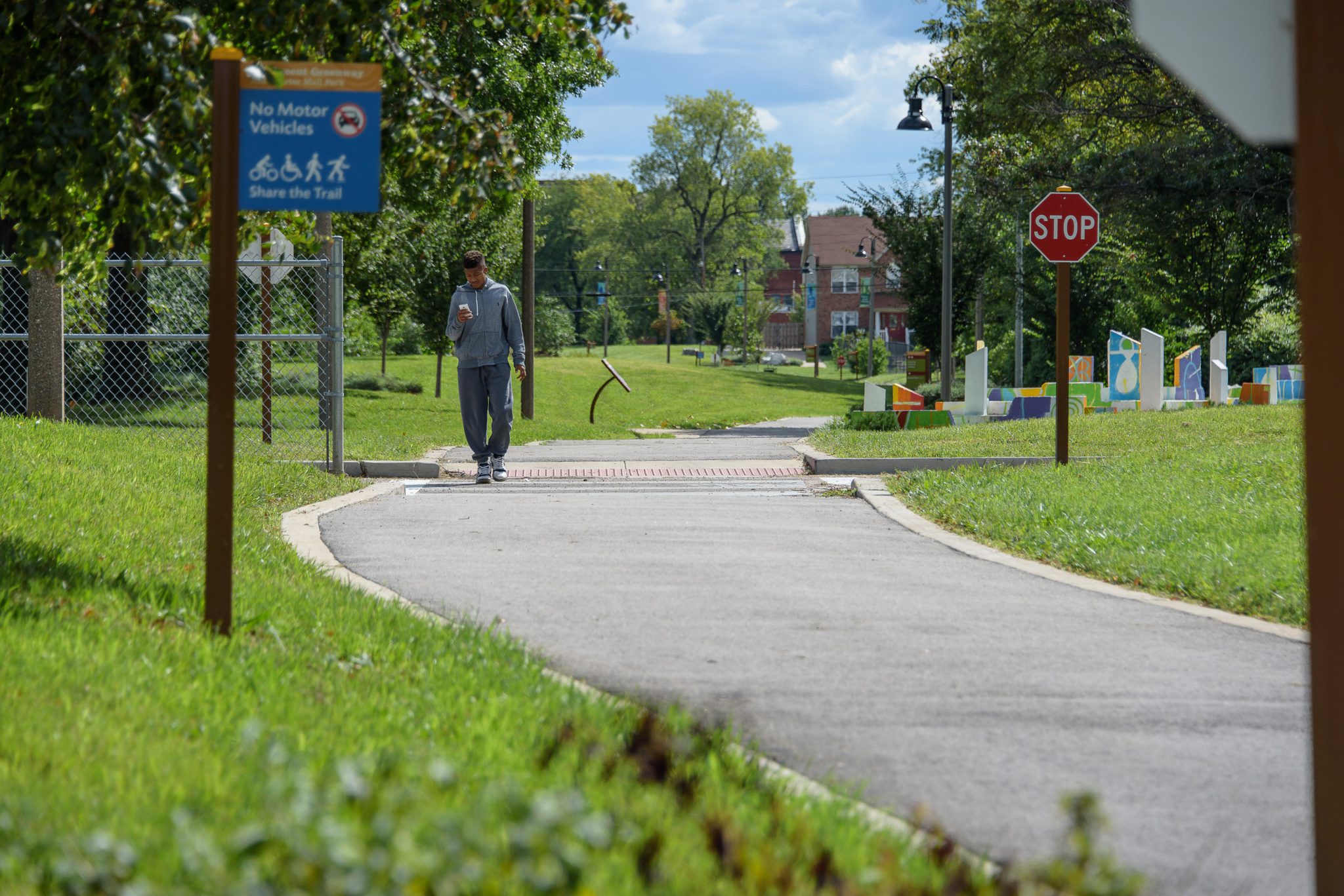
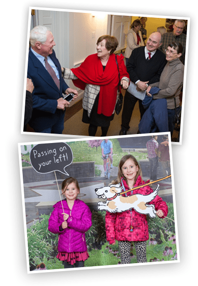
 It was a standing room only crowd at the St. Charles County Heritage Museum as area residents came together to learn the latest details about the soon-to-be constructed bicycle and pedestrian bridges over highways 364 and 94 in the City of St. Charles. This phase of the project involves extending the existing Centennial Greenway that links Heritage Park and the Katy Trail State Park to connect thousands of residents on both sides of the community.
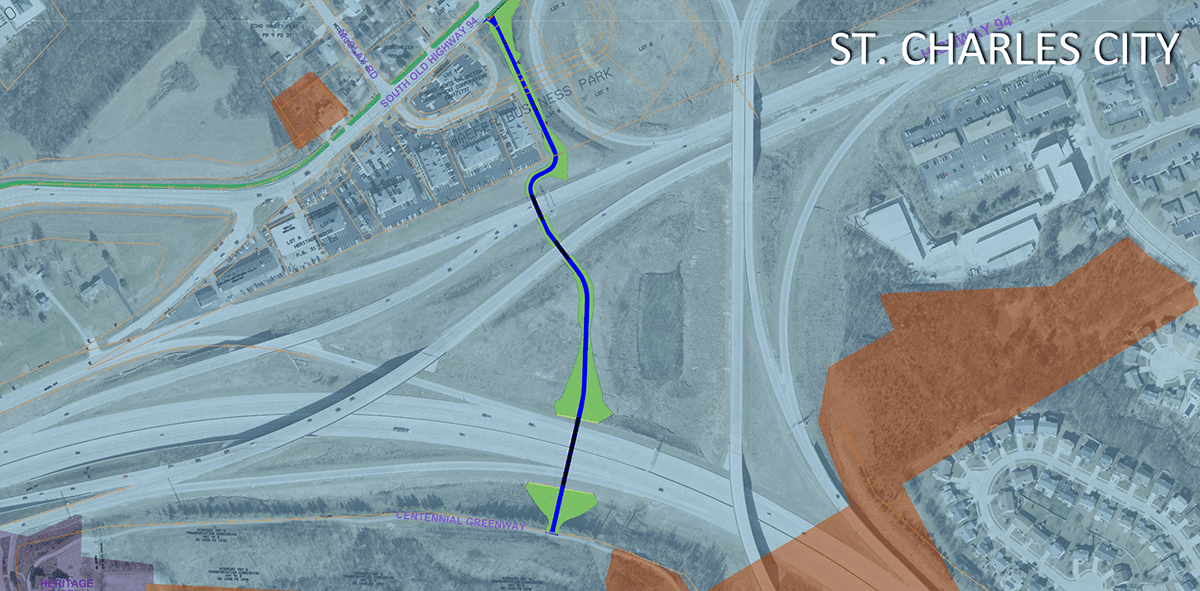
The plans call for a one-mile extension of the existing 2.2-mile Centennial Greenway just east of the Heritage Museum. The paved greenway will head north and cross both highways 364 and 94 where it will connect to Old Highway 94 near Muegge Road. The new route will enable on-street connections to nearby Laurel Park, Schaefer Park, Wapelhorst Park, the Laurel Park Trail, McClay Branch of the St. Charles City-County Library, Francis Howell North High School and Henderson Elementary School—all of which are less than two miles from the bridges.
“This is a game-changing connection for people in the City of St. Charles, St. Charles County and beyond,” says St. Charles County Executive Steve Ehlmann. “By bridging these two highways, thousands of people who live, work, and go to school in this area will now be able to safely walk or ride a bike to get where they need to go. It will also connect them to the KATY Trail and St. Louis County via the existing Centennial Greenway.”
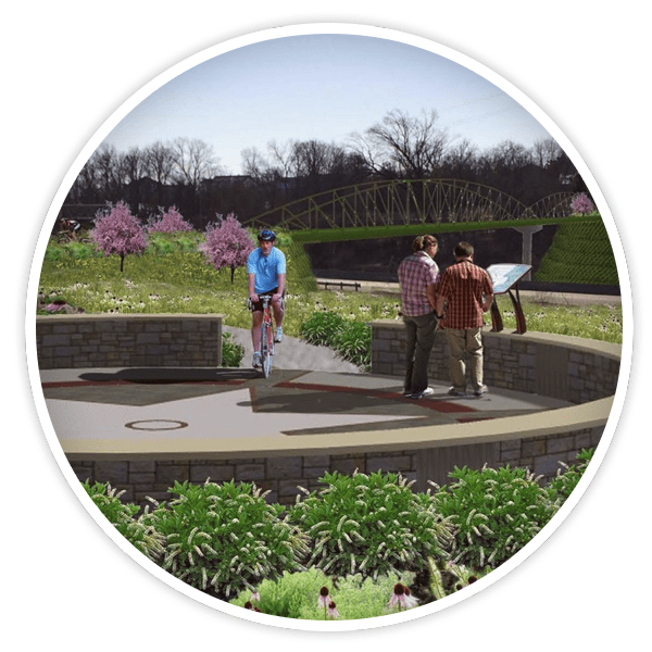
In addition to a paved trail and bridges, the greenway expansion will also have a rest stop landscaped with native plants. The interpretive signage will highlight the unique features of the Centennial Greenway that connects to the region’s rivers, parks and communities.
“We are grateful for our partners at the City of St. Charles, St. Charles County, and Missouri Department of Transportation whose input and support helped make this project a reality,” says Susan Trautman, Executive Director Great Rivers Greenway. “We have been working together for a long time to expand the Centennial Greenway over these two highways. We are eager to eliminate this barrier and open up a new route so people can walk or ride bikes to get to work and school, run errands or just enjoy some fresh air.”
Construction is slated to begin in spring 2017 and is expected to last about a year.
Click here to view the presentation from the February 9, 2017 Preview.
Click here to see the master plan for the entire Centennial Greenway.