 Contact
 Donate
 Languages
 Events
 Visit Greenways
 Get Involved
 How We Work
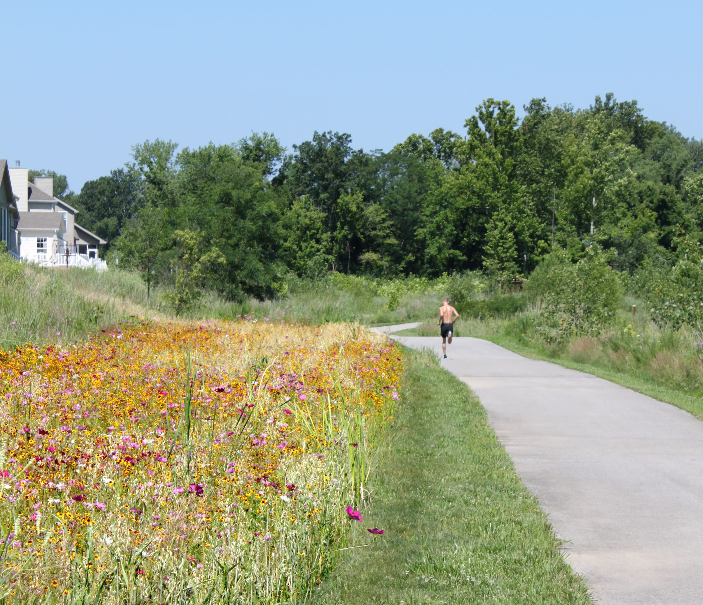
Description
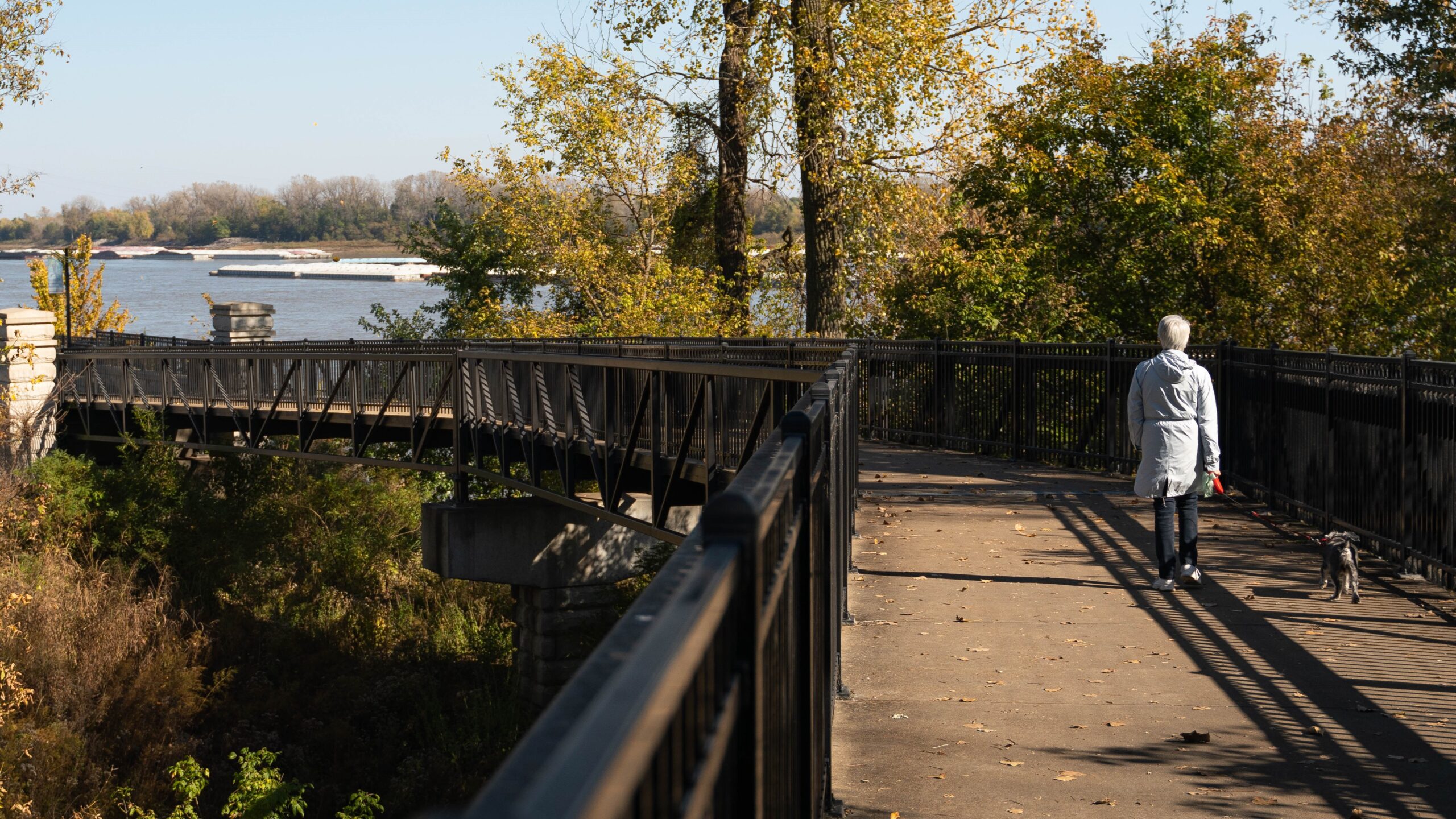
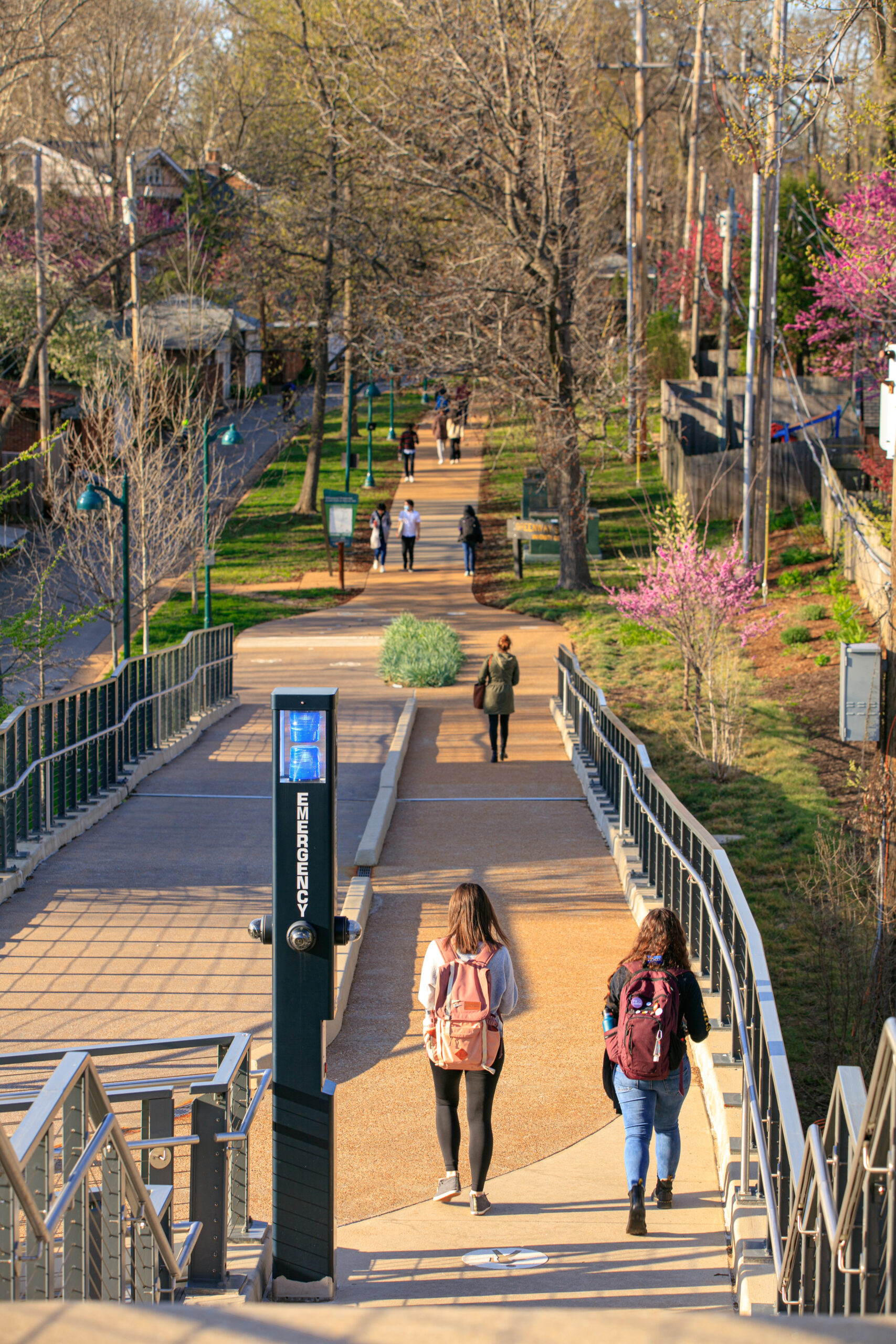
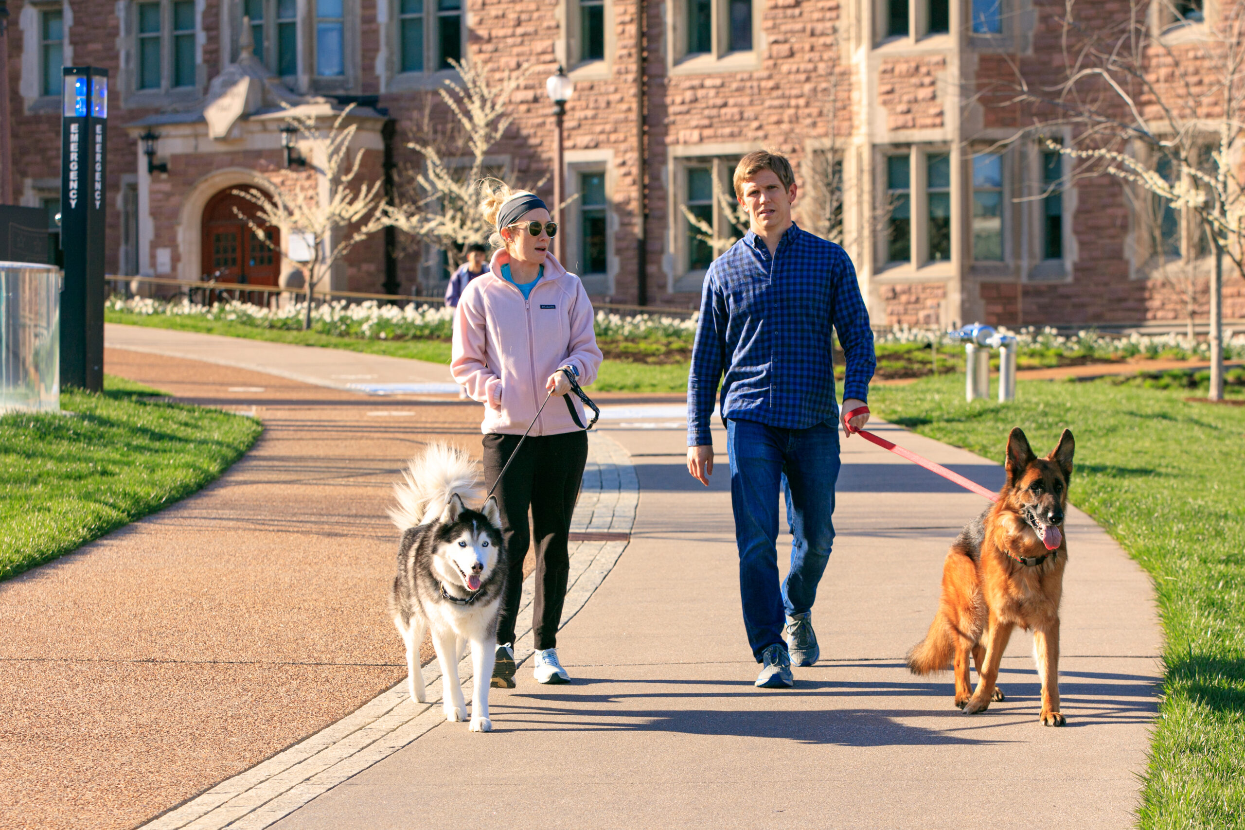
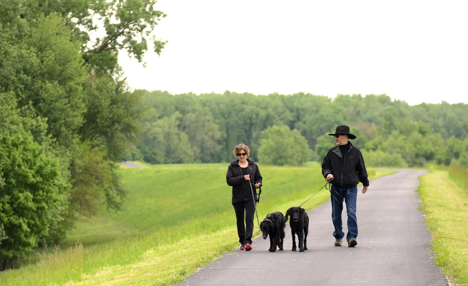
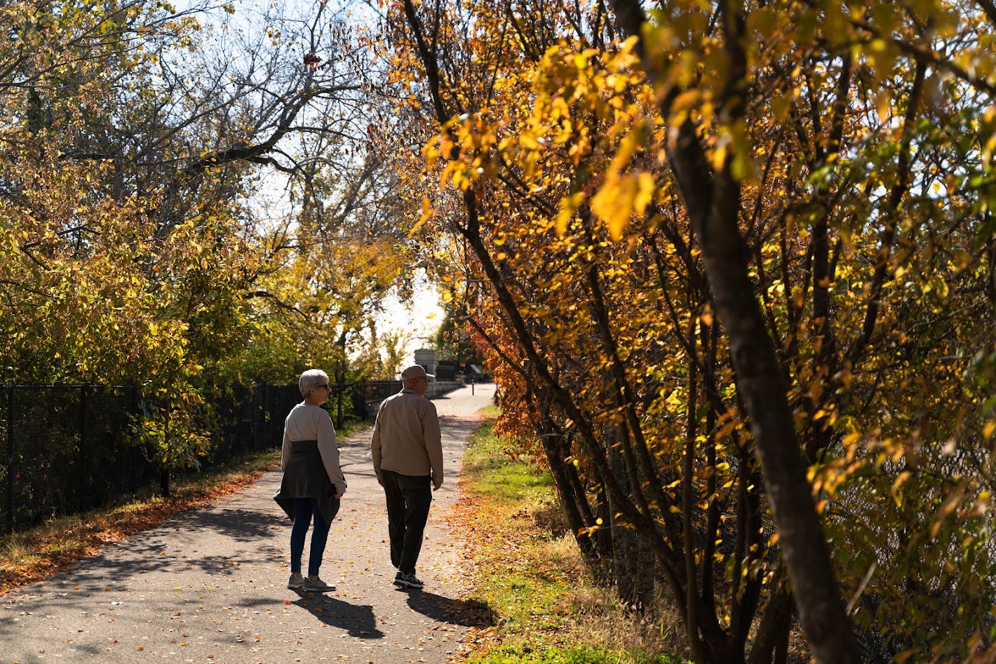
While it extends through a residential area and is near some commercial development, it feels rural and offers lots of green, open space to explore and enjoy.
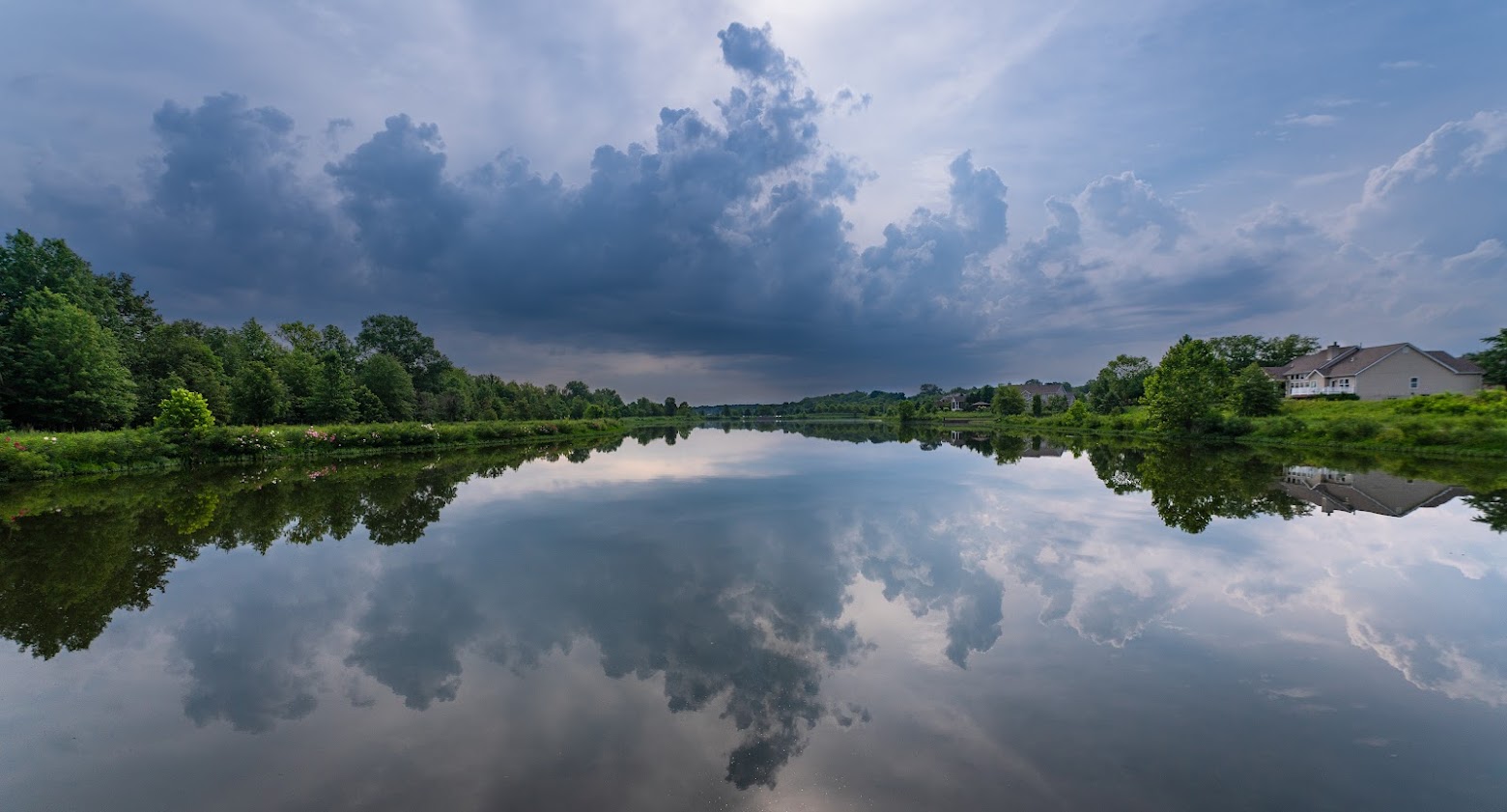
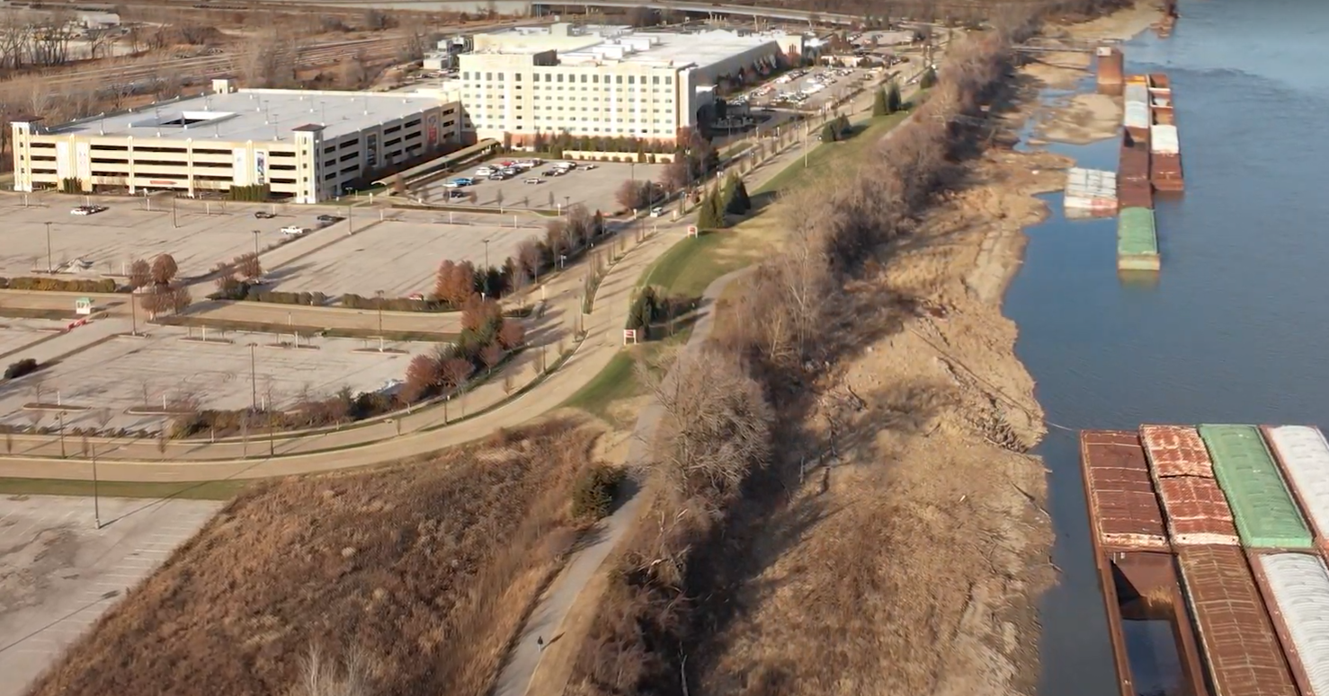
It is part of the surrounding 80-acre Barathaven Park. Part of the greenway winds around a 15-acre lake, and along the way you will see new wetlands that have been created to enrich the habitat of native animals and plants.
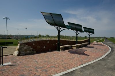
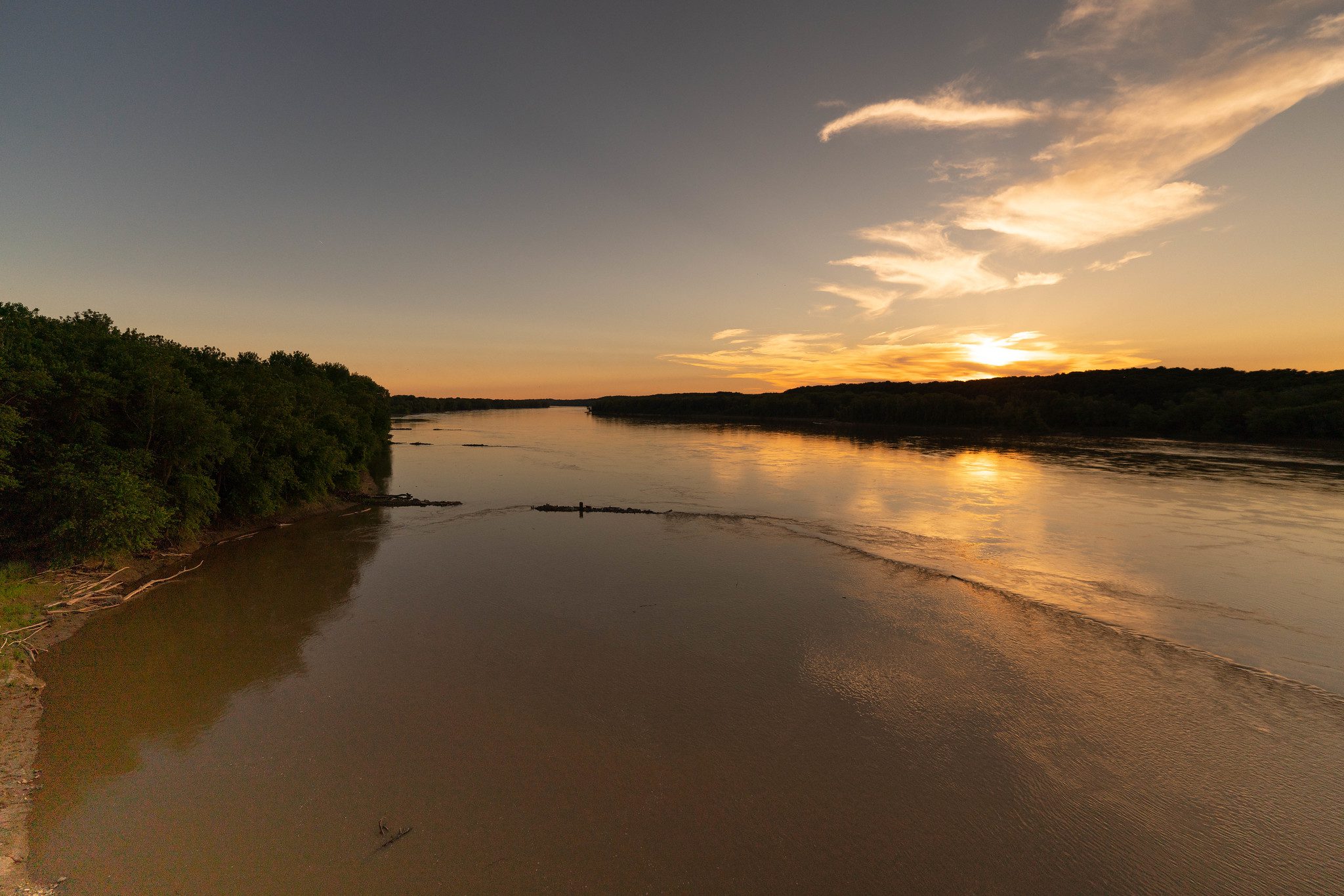
You can enjoy quiet and calming views of Dardenne Creek, stop and have lunch at a picnic table or sit on a bench to relax and breathe in the fresh air. Be sure to pay attention to the lovely native Missouri plantings that were specially selected not only for their hardiness and beauty, but also to provide privacy to neighboring homes.
Check out the full plan for this greenway here!
Get Directions to Dardenne Greenway: Barathaven
Getting There
There are two trailheads on either side of Henning Road in Dardenne Prairie near the Barathaven Community. If you live in Barathaven, you can walk to explore this greenway that is right in your backyard!
Each greenway is managed in cooperation with different municipalities and parks departments, who set the rules for greenway use, parking and hours of operation. The section around BaretHaven Lake is managed by the City of Dardenne Prairie Parks Department. The section around the prairie in progress at Bluebird Meadow is the City of Dardenne Prairie Parks Department and Great Rivers Greenway. Please be sure to follow all posted rules and regulations while you are living life outside!
Things to Do
Boat You can kayak or canoe on the lake in the Barathaven community.
FishYou can fish at the piers located around the lake in the Barathaven community.
See WildlifeThis greenway is a regular stop for geese and other large birds.
Trail Details
4.13 Miles
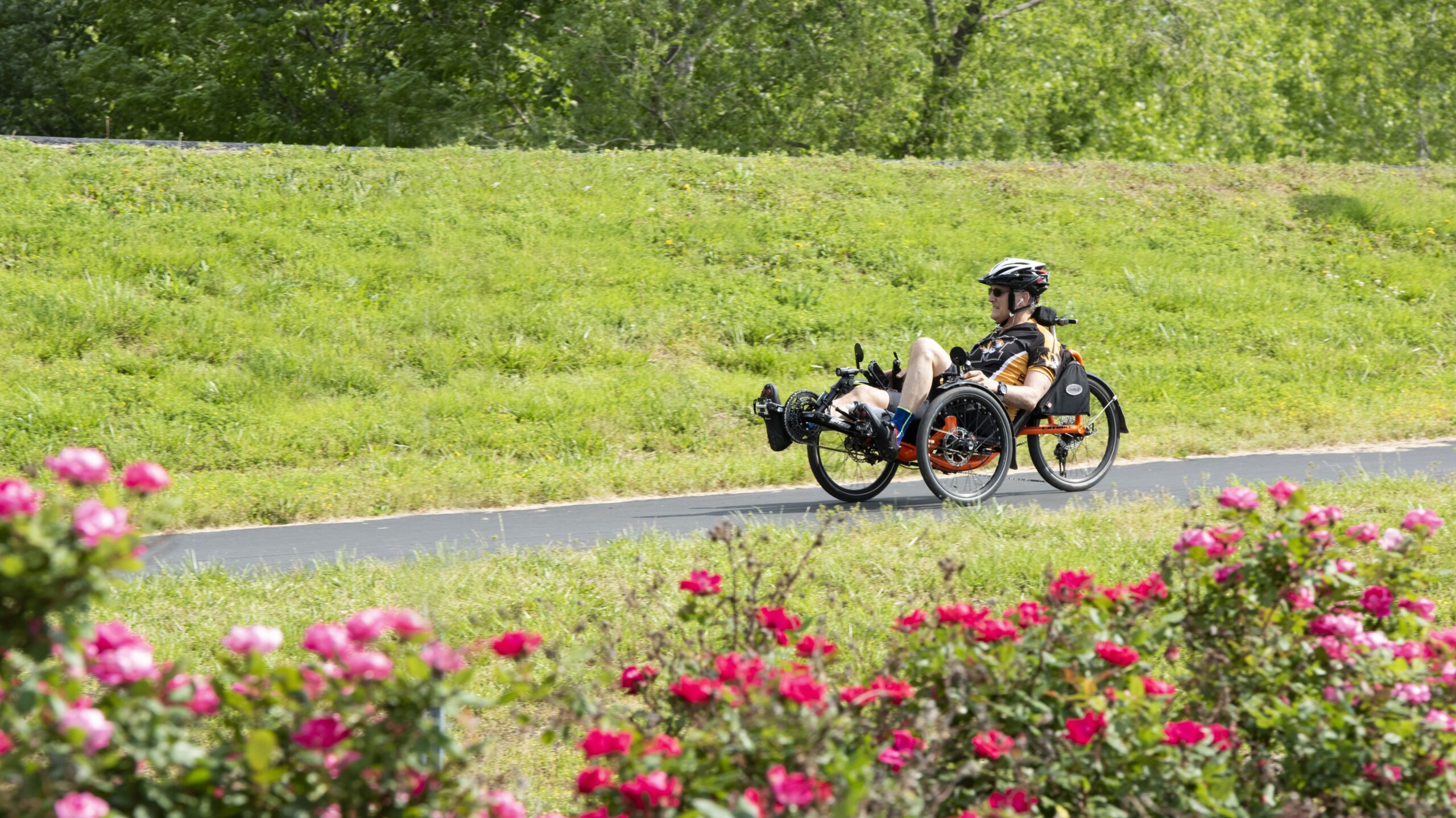
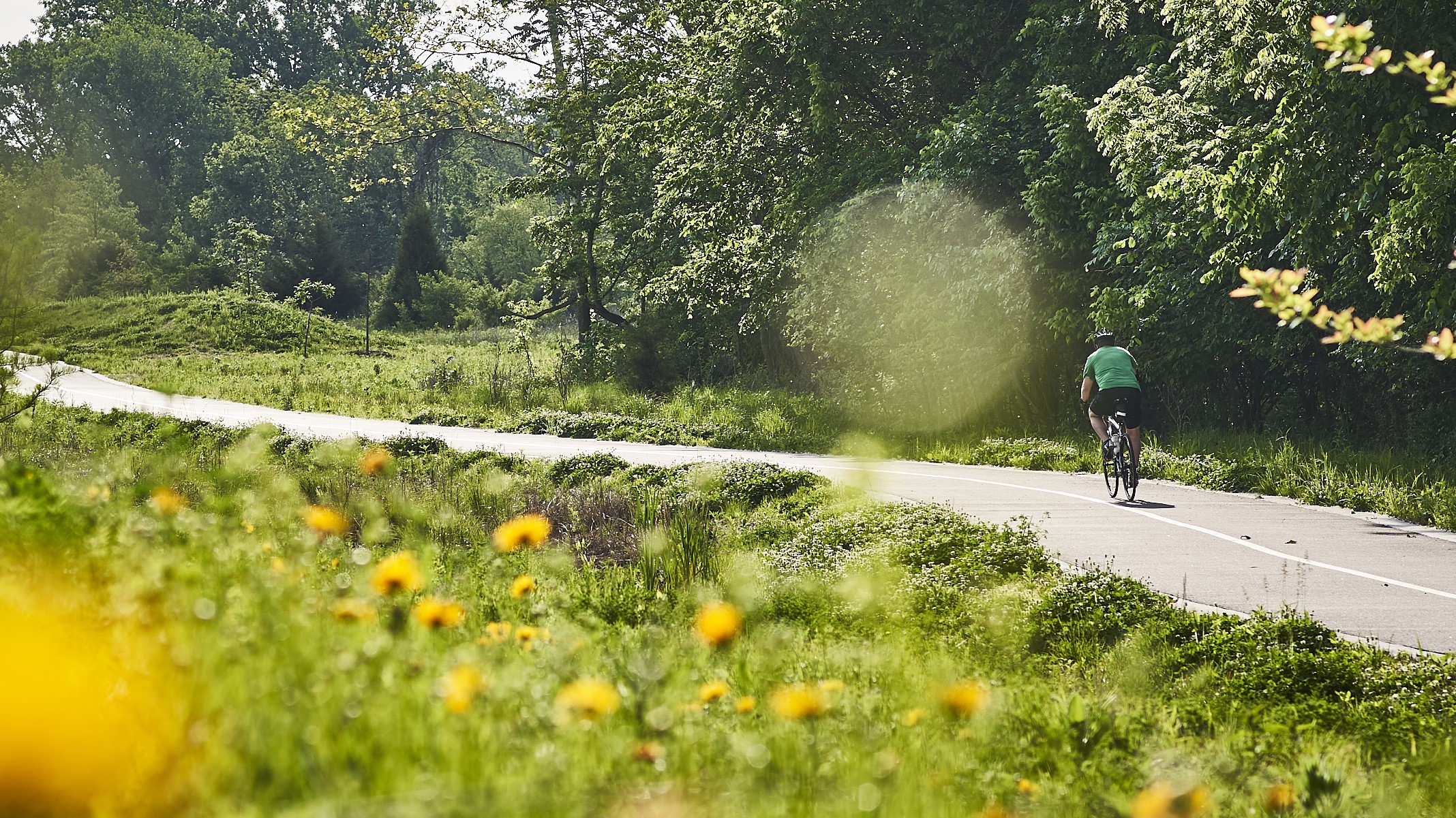
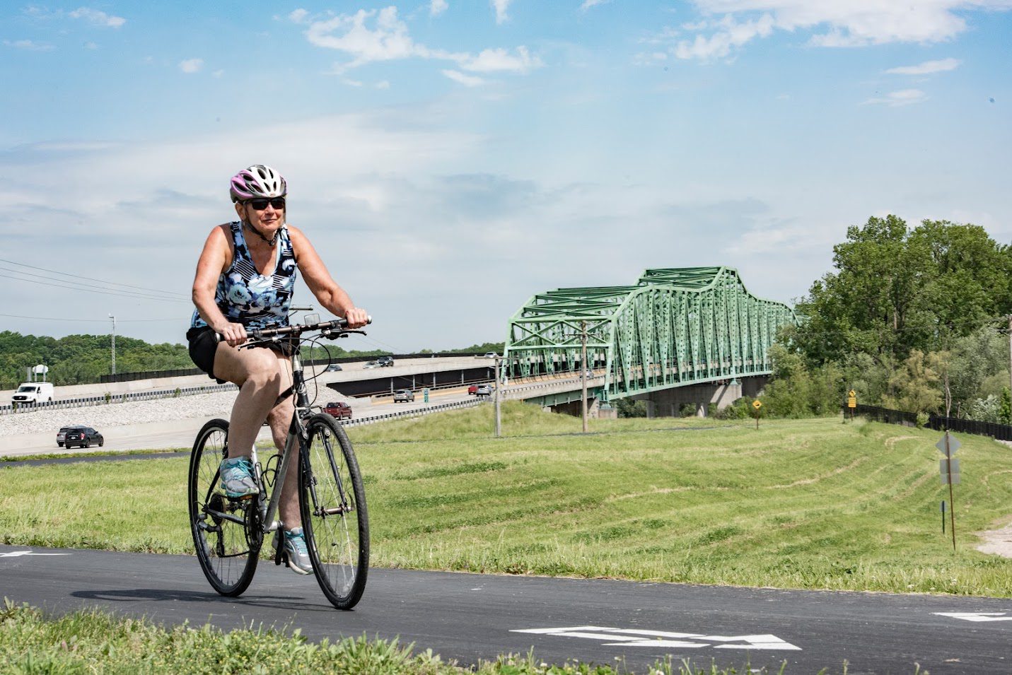
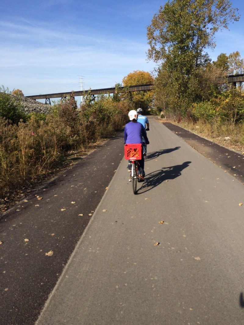
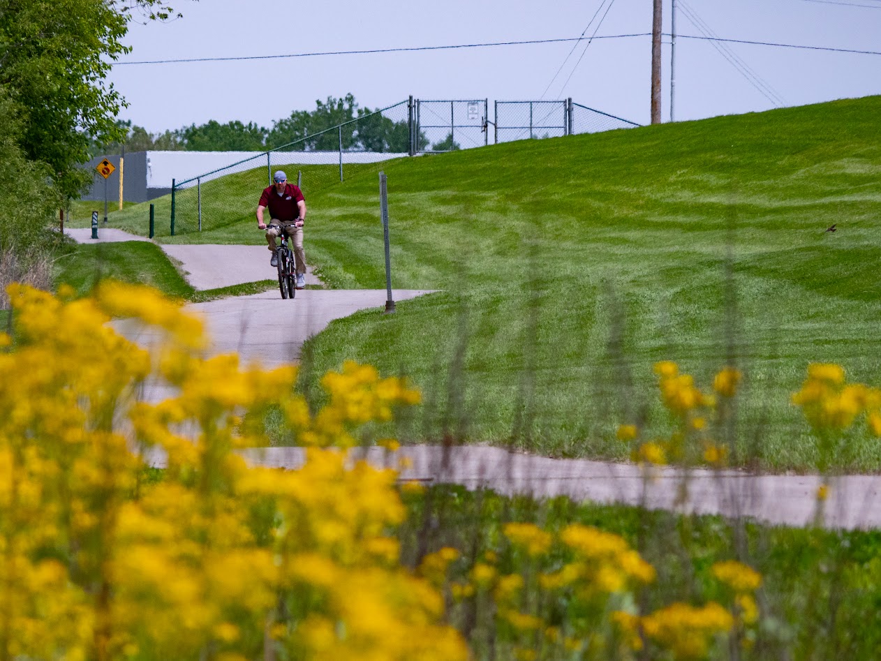
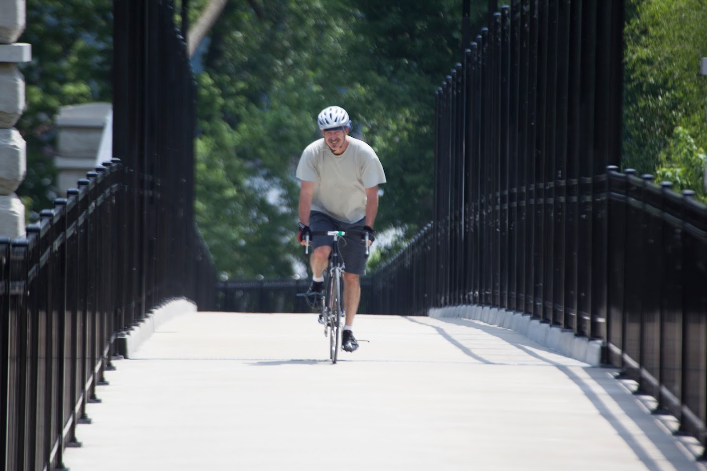
There is a 4.13-mile paved trail that loops through residential areas within the Barathaven development in Dardenne Prairie. Walk, ride or run along this mostly flat trail that offers both sun and shade.
Download the GuideAmenities
Benches
Bike Racks
Parking
Trash
Upcoming Events
Tuesday, May 2nd
6:00 pm - 7:00 pm
Saturday, October 28th
8:00 am - 10:30 am
Share Your Greenways Stories
Greenway stories are shared through art and signs, tours, digital content, outreach, and community events. These greenway stories are organized around themes of nature, culture, and history. Share your greenway story by visiting the Share Your Stories page or recording your story at 314-932-4904.
Share Your Story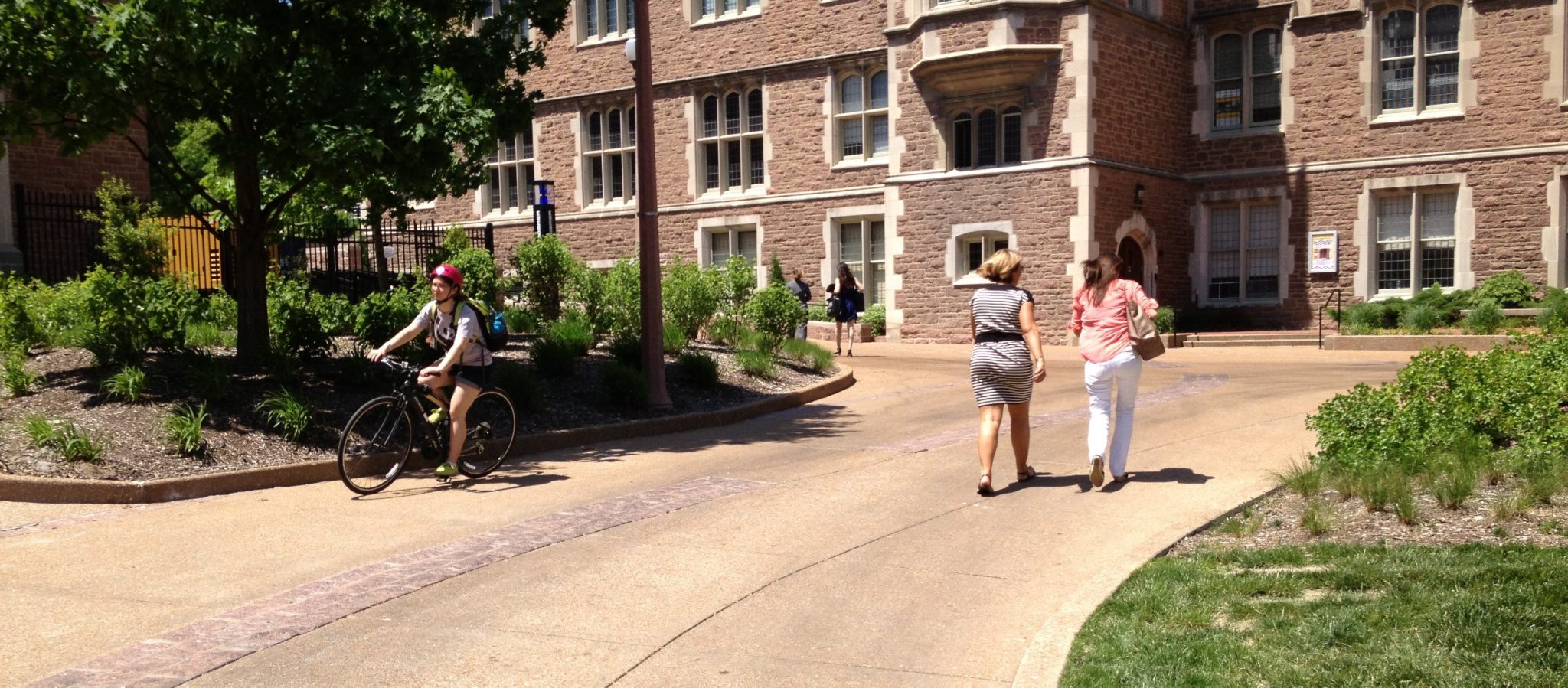
