 Contact
 Donate
 Languages
 Events
 Visit Greenways
 Get Involved
 How We Work
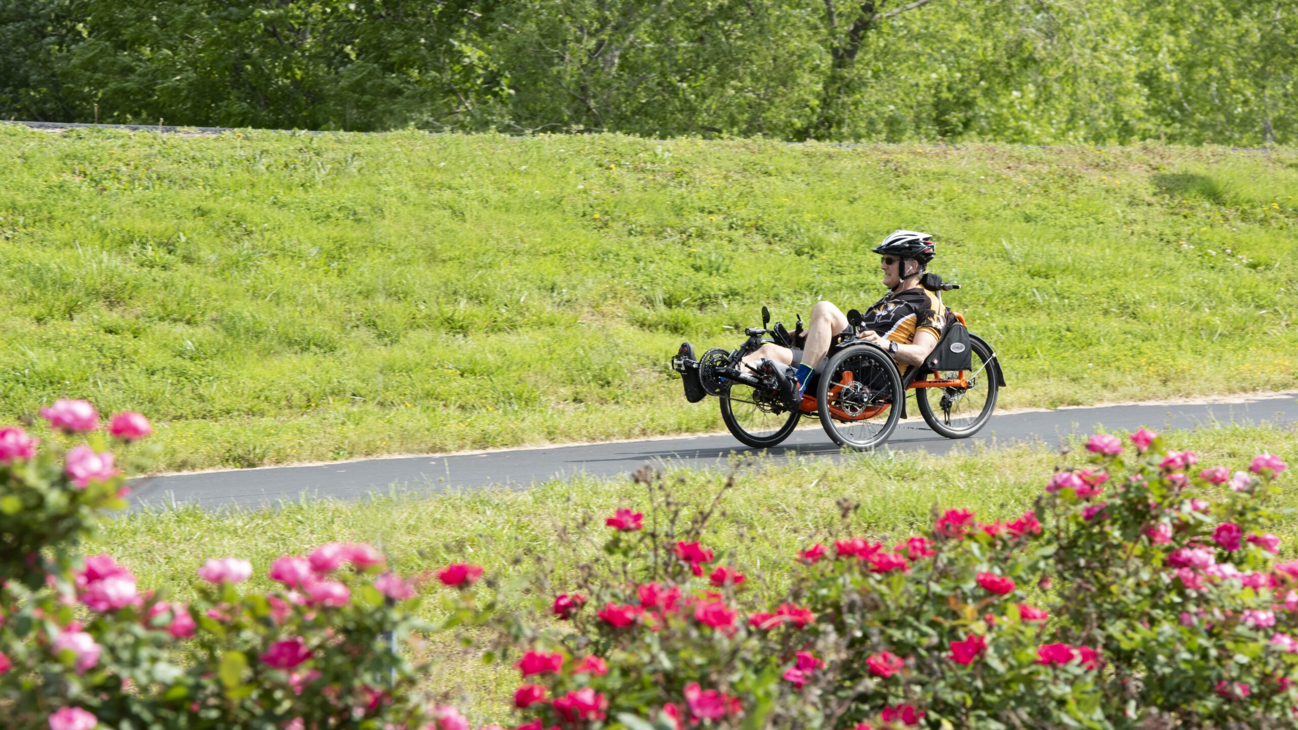
Description
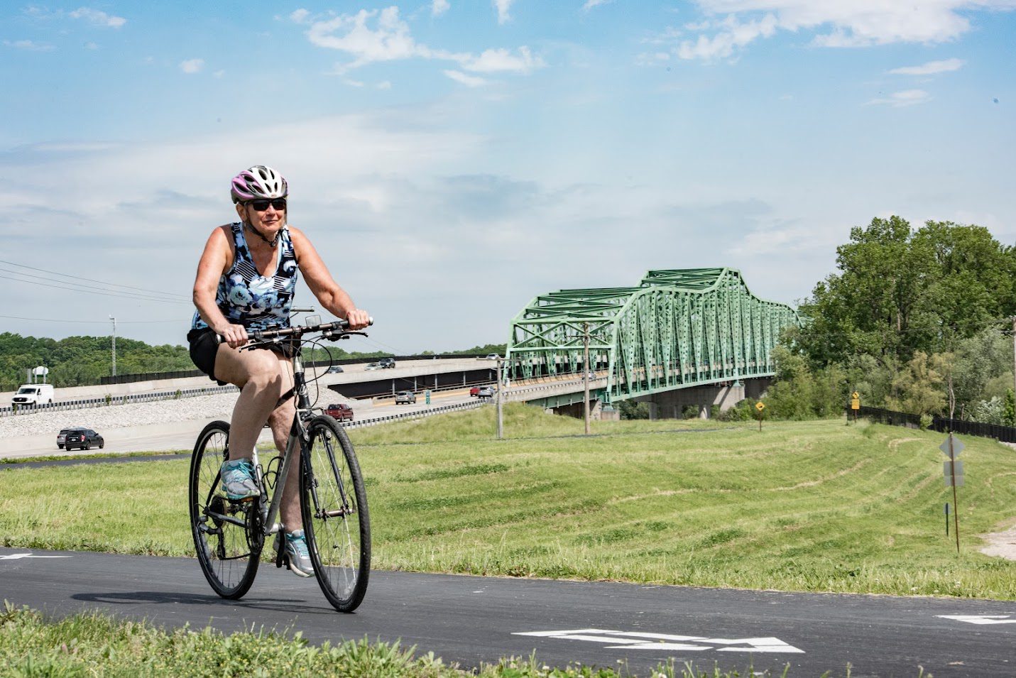
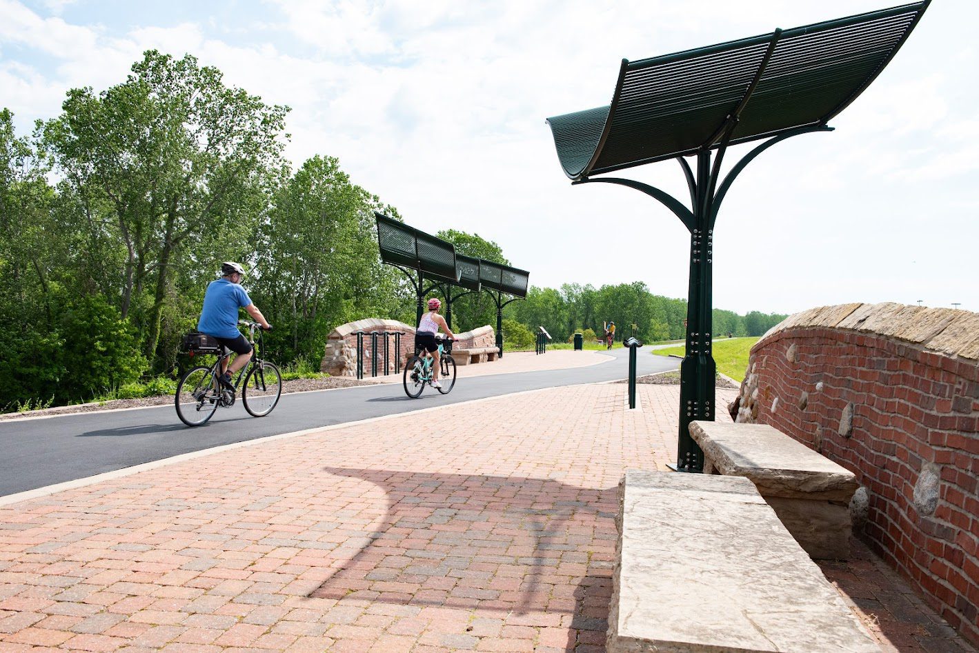
A 5.6-mile segment is now complete from TOPGOLF St. Louis to the Chesterfield Valley Athletic Complex and over the Missouri River to connect with the Katy Trail and the Busch Greenway. You can also follow the greenway in the other direction 3 miles to Centaur Road. A 2-mile segment has also been completed on the Monarch Levee from Long Road to Baxter Road. A small parking lot is available off Eatherton.
Now that the bridge is open, there are 10.6 miles of trail built in this greenway!
Check out the full plan for this greenway here!
Get Directions to Missouri Greenway: Monarch Chesterfield Levee
Getting There
You can get to this greenway by taking I-64 into the Chesterfield Valley.
Each greenway is managed in cooperation with different municipalities and parks departments, who set the rules for greenway use, parking and hours of operation. The segment from TopGolf to Howell Island is managed by City of Chesterfield. The segment from Howell Island to John LeCave Trailhead is the City of Wildwood.
Things to Do
Boat You can kayak or canoe on the lake in River’s Edge Park.
DineYou can access the dining options located in the St. Louis Premium Outlets in Chesterfield. Check out a list of dining options on their website. You can also check out The District in Chesterfield.
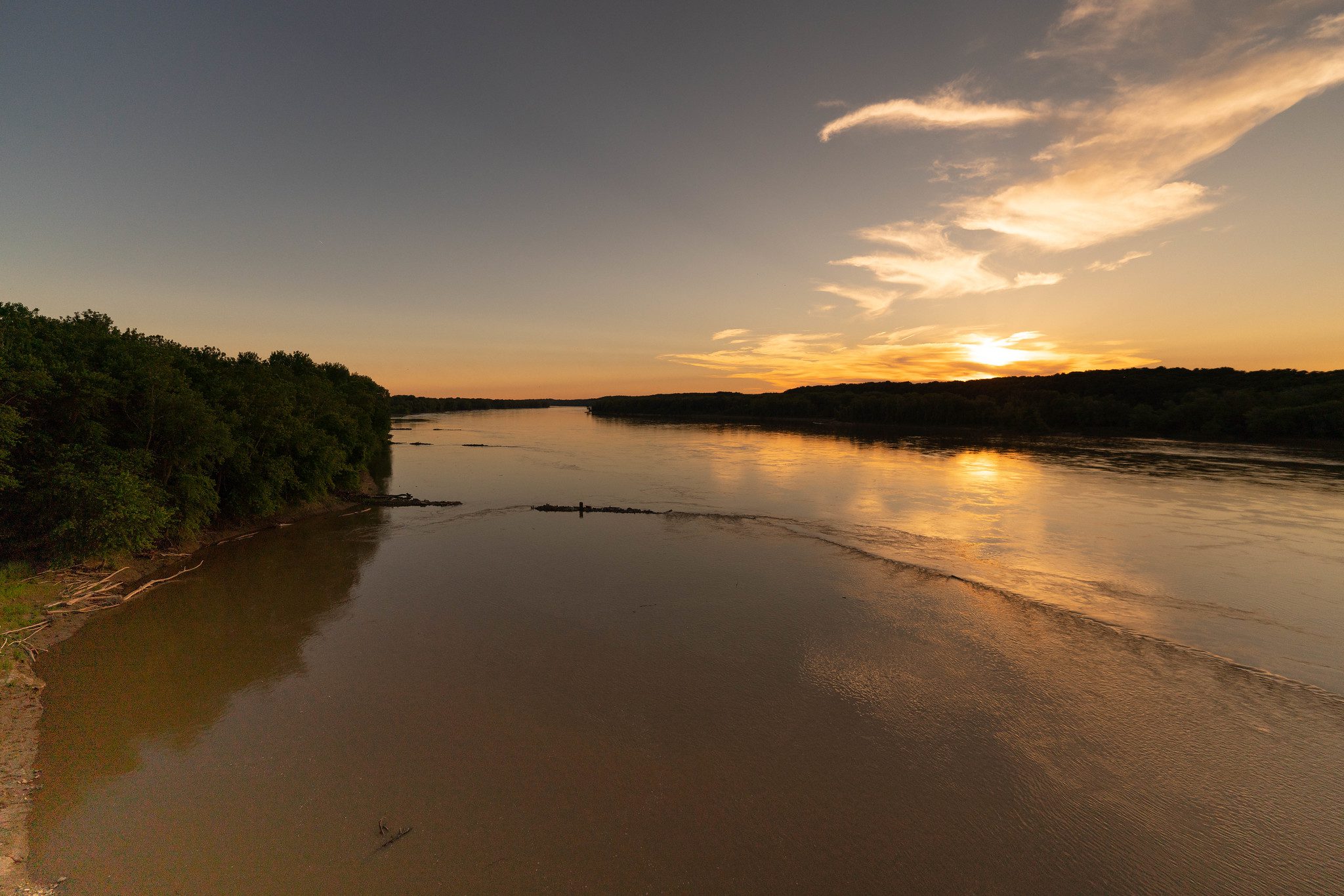
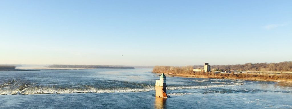
FishYou can fish on the lake in River’s Edge Park. You can also access the Missouri River to fish from this park.
PlayYou can play on the playgrounds in the Chesterfield Valley Athletic Complex.
See WildlifeYou can enjoy observing wildlife at River’s Edge Park.
Trail Details
11.09 Miles
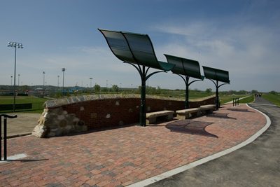
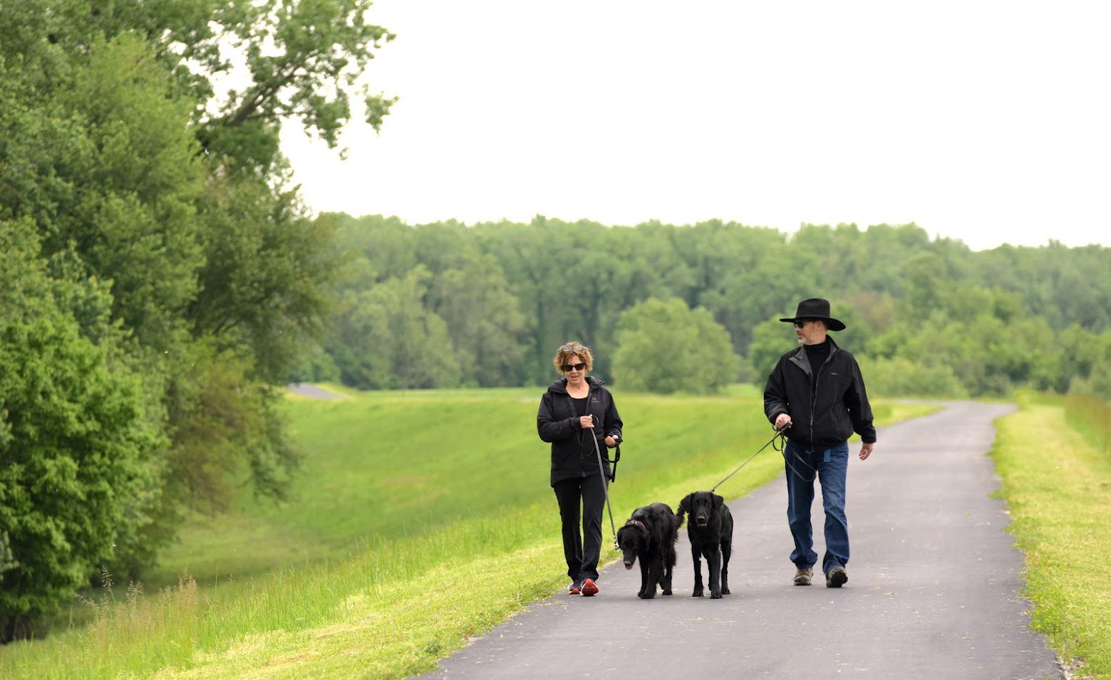
This is a very flat, sunny trail great for exercising! There are some benches and shade structures along the way for respite.
Download the GuideAmenities
Benches
Bike Racks
Drinking Water
Parking
Playground
Restrooms
Shelters
Tables
Trash
Upcoming Events
Friday, June 12th
9:00 am - 12:00 pm

Friday, June 12th
9:00 am - 12:00 pm
Related News
 News
News
10 Great River Views You Can Only Enjoy From a Greenway
Read More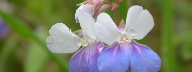 News
News
Spring Ephemerals and Wildflowers: Now Showing on a Greenway Near You!
Read MoreShare Your Greenways Stories
Greenway stories are shared through art and signs, tours, digital content, outreach, and community events. These greenway stories are organized around themes of nature, culture, and history. Share your greenway story by visiting the Share Your Stories page or recording your story at 314-932-4904.
Share Your Story