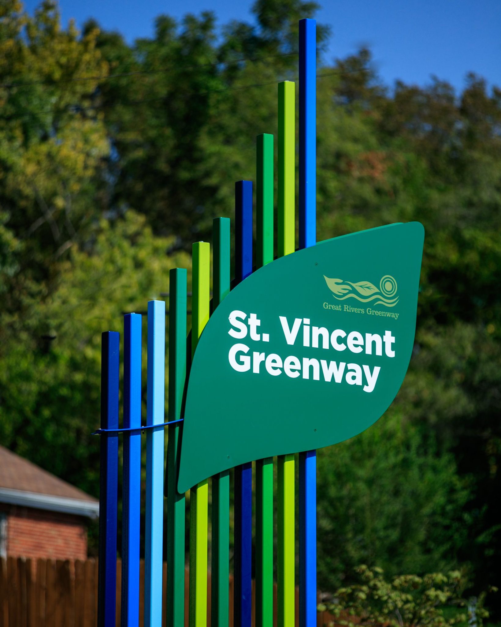
St. Vincent Greenway
Rock Road Transit Center to St. Vincent Park to UMSL
This section of the St. Vincent Greenway takes you from the Rock Road Transit Center, along St. Charles Rock Road and directly into the lush and shady grounds of St. Vincent County Park, across the rolling hills of the University of Missouri campus all the way to the North Hanley Metrolink Station.
Read More
Amenities
Getting Here
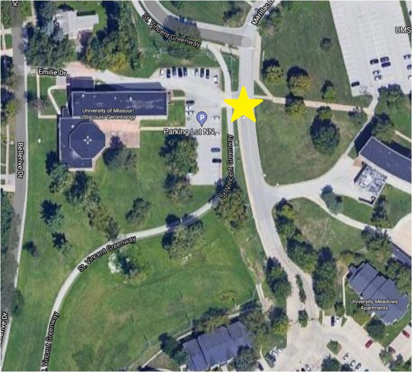
This greenway is located in Pagedale near the intersection of I-170 and St. Charles Rock Road. If you live nearby, there are several ways to walk to this greenway.
Each greenway is managed in cooperation with different municipalities and parks departments, who set the rules for greenway use, parking and hours of operation. Greenways often span multiple municipalities, so please be aware that these rules can change as you travel along the trail. Please be sure to follow all posted rules and regulations while you are living life outside!
Click one of the buttons below to plan your route with Google Maps.
You can connect to this greenway on your bike. Click one of the buttons above to plan your route with Google Maps.
You can access this section of the St. Vincent Greenway from the Rock Road Transit Center, North and South UMSL Stations and the North Hanley Station. You can also travel from the southern section of the St. Vincent Greenway via the direct connection to the Wellston Metro Stop.
You can park in St. Vincent County Park, in designated visitor areas on the UMSL campus and the Metro Stations.
Things To Do
swim
You can swim at the water park in St. Vincent Park. Check out the St. Louis County website for more information.
grill
You can grill out on the grills located in St. Vincent Park.
play
You can play on the playgrounds and athletic fields in St. Vincent Park.
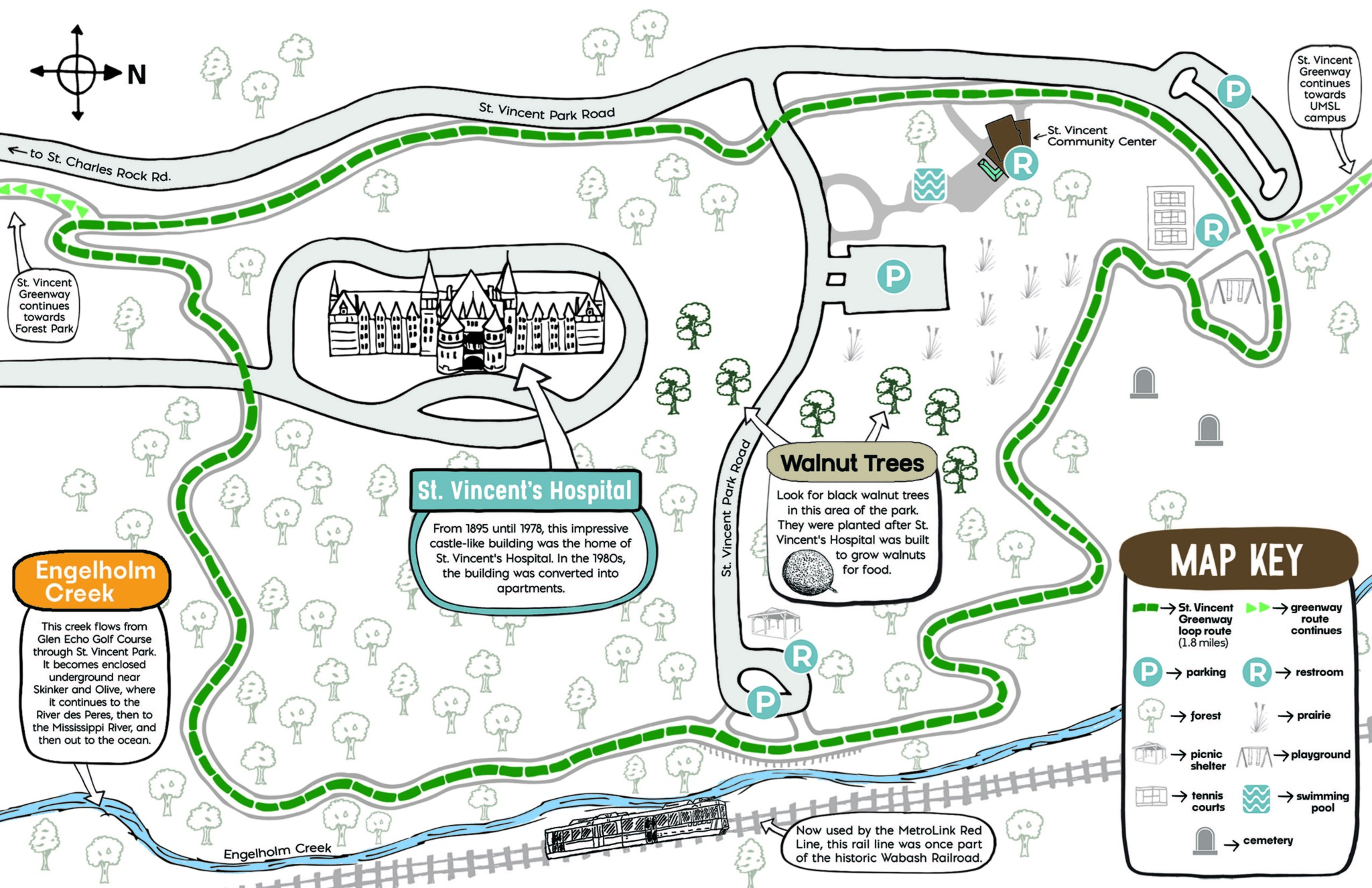
Trail Info
4.46 Miles
The paved trail has a direct connection to the Rock Road Transit Center. It follows St. Charles Rock Road west towards a new connection into St. Vincent County Park. It meanders through St. Vincent Park and the University of Missouri-St. Louis campus. The trail is mostly flat throughout the park, but the rolling hills found on the UMSL campus are remnants of its past life as the Bellerive Country Club golf course. It offers a nice mix of sun and shade.
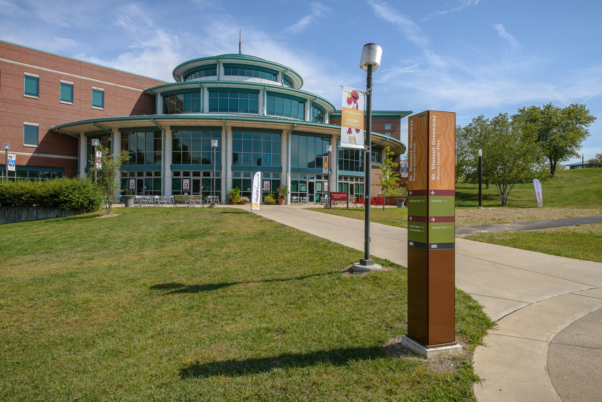
The paved trail on the UMSL campus is known as the Wayne Goode Trail, named after the famed Missouri legislator. It ties together the north and south campuses along with St. Vincent County Park and the Ted Jones trail, which extends 2.2 miles north to Old Town Ferguson.
Visit the map on UMSL’s website to see the trail’s route through the campus. The paved trail provides a direct connection to three Metrolink stations, as well as an easy way to explore everything St. Vincent County Park has to offer.
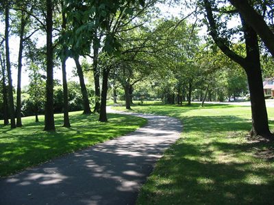
Shade on the trail in St. Vincent County Park
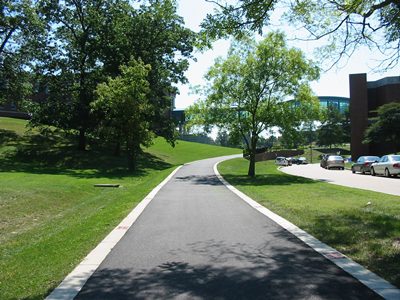
St. Vincent Greenway includes the University of Missouri-St.Louis Campus
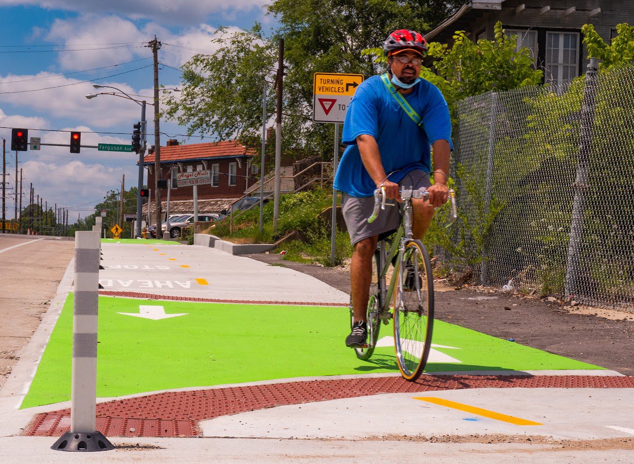
Greenway along St. Charles Rock Road
The greenway connects to the University of Missouri-St. Louis campus
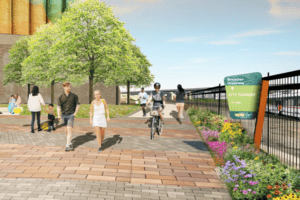
New sign welcoming you to St. Vincent County Park
Events & Programs
St. Vincent Greenway: St. Vincent County Park Tour
September 7th 10:00 am - 12:00 pm CST