Master Plan
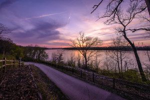
When the St. Vincent Greenway is complete; it will extend 7 miles from NorthPark and the University of Missouri-St. Louis campus all the way to Forest Park. It will connect with Maline Greenway on the north and ultimately join the Centennial, River des Peres, and Brickline Greenways in Forest Park.
Current Status
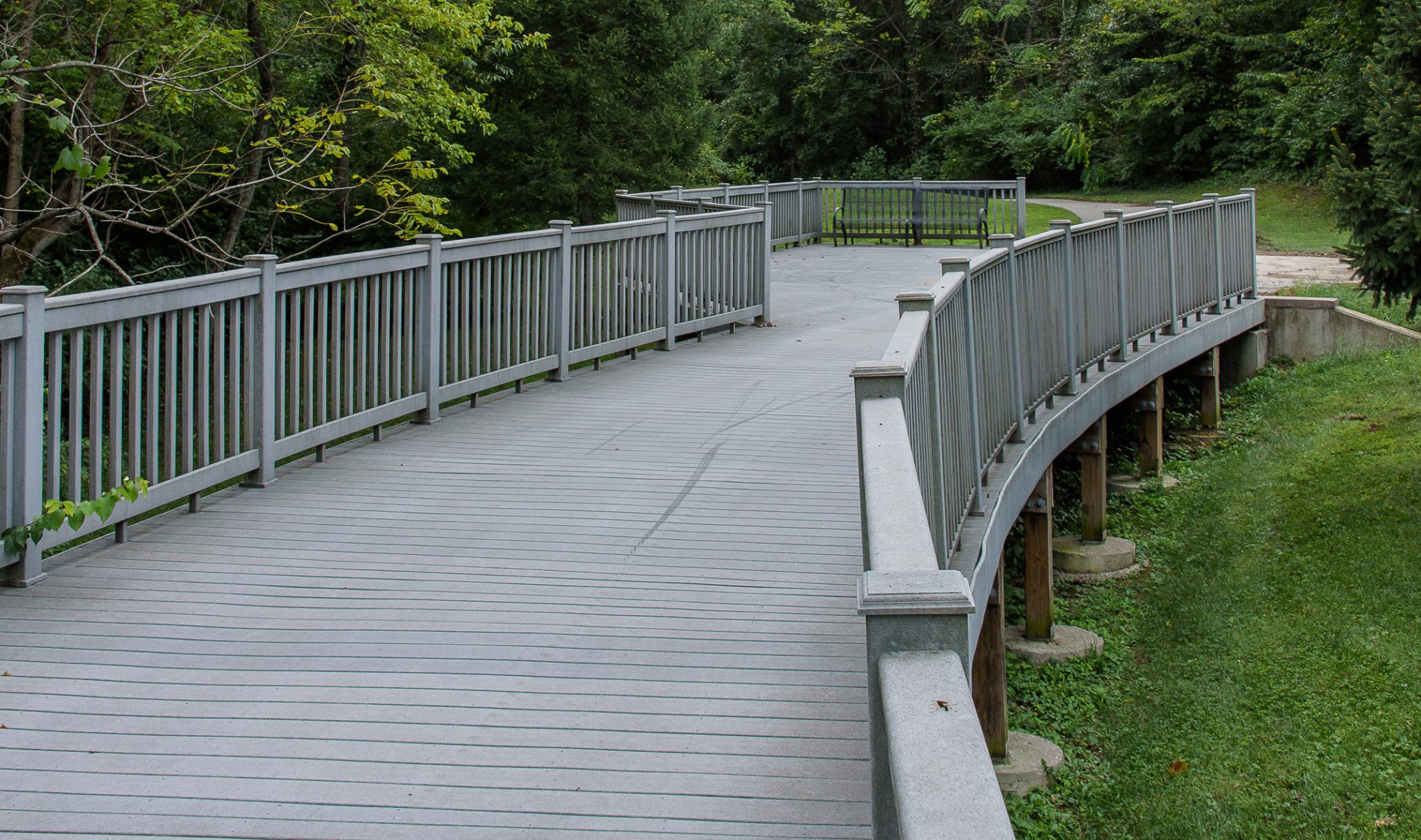
St. Vincent Greenway: Rock Road Transit Center to St. Vincent Park to UMSL (paved) runs 4.46 miles along the rolling hills of the UMSL campus and through the lush and shady landscape of St. Vincent County Park to the Rock Road Metro Station.
On the south side of the greenway, St. Vincent Greenway: Forest Park to Wellston MetroLink (paved) runs 2.49 miles from the Wellston MetrolLink to Trojan Park at Etzel and Skinker through Ruth Porter Mall Park to Forest Park at Lindell. If you walk west along Delmar, you can meet up with the Centennial Greenway.
Future Connections
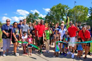
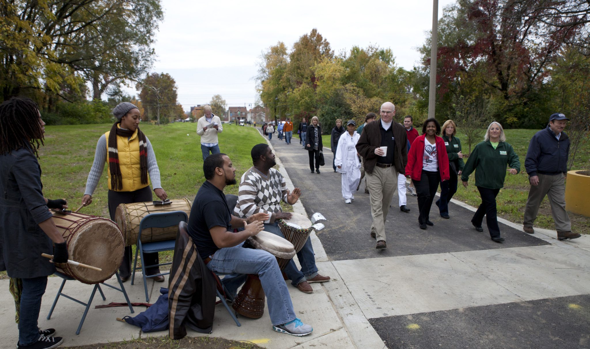
We are working with many partners to close the gap on the northern and southern sections of the St. Vincent Greenway. The first two phases; Trojan Park to the Wellston MetroLink Station and the Rock Road Transit Center To St. Vincent County Park wrapped up in 2023. The final phase of the project is being prepared to begin construction in 2024.
When the entire connection is complete, it will connect the cities of Wellston and Pagedale to the Wellston and Rock Road Transit Center and St. Vincent County Park. It will also complete a seven mile, continuous greenway stretching all the way from Forest Park, across the University of Missouri-St. Louis Campus, to the North Hanley MetroLink Station!
Projects In Progress
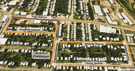
Robert L. Powell Place to St. Charles Rock Road
This 1.69 mile greenway segment will start at the former Eskridge High School site and connect to St. Charles Rock Road.
Future Connections
We are working with many partners to close the gap on the northern and southern sections of the St. Vincent Greenway.
When the entire connection is complete, it will connect the cities of Wellston and Pagedale to the Wellston and St. Charles Rock Road MetroLink stations and St. Vincent County Park. It will also complete a seven mile, continuous greenway stretching all the way from Forest Park, across the University of Missouri-St. Louis Campus, to the North Hanley MetroLink Station!