Master Plan
The 32 mile Mississippi Greenway (formerly known as the Confluence Greenway) is a major greenway with a master plan to connect with the Missouri Greenway, Maline Greenway, the Trestle, the Arch grounds, Gateway Mall and River des Peres and Meramec Greenways south of downtown St. Louis. To advance this plan, Great Rivers Greenway has invested more than $31 million in land acquisition and greenway construction since 2001.
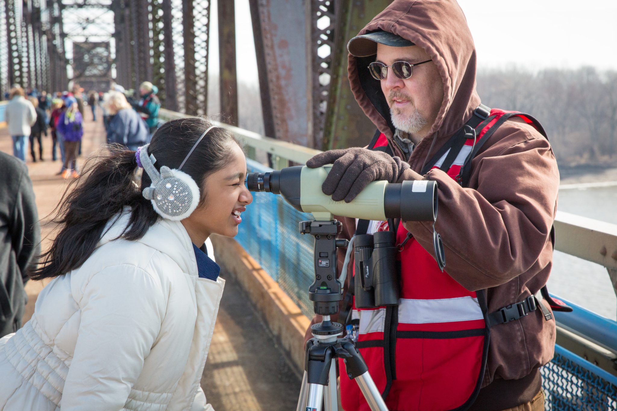
Projects include the Confluence Point State Park in St. Charles County, the Old Chain of Rocks Bridge and Riverfront Trail in the City of St. Louis, the McKinley Bridge Bikeway and Branch Street Trestle, and the Trestle in the City of St. Louis.
North Riverfront Open Space and Redevelopment Plan
Great Rivers Greenway has worked in collaboration with many partners to create a plan to promote economic revitalization of the North Riverfront by transforming vacant property along the Mississippi River into public parks and recreation amenities as well as encouraging private enterprise. See the complete plan here.
The Mississippi Greenway Park Master Plan continues to build on the previous North Riverfront Open Space and Redevelopment Planning effort completed in 2015. It focuses on the initial park and open space creating the synergy for future. View the plan here.
Current Status Mississippi Greenway North of Downtown:
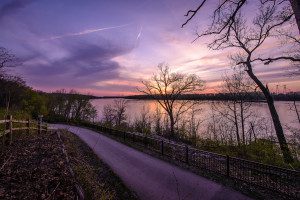
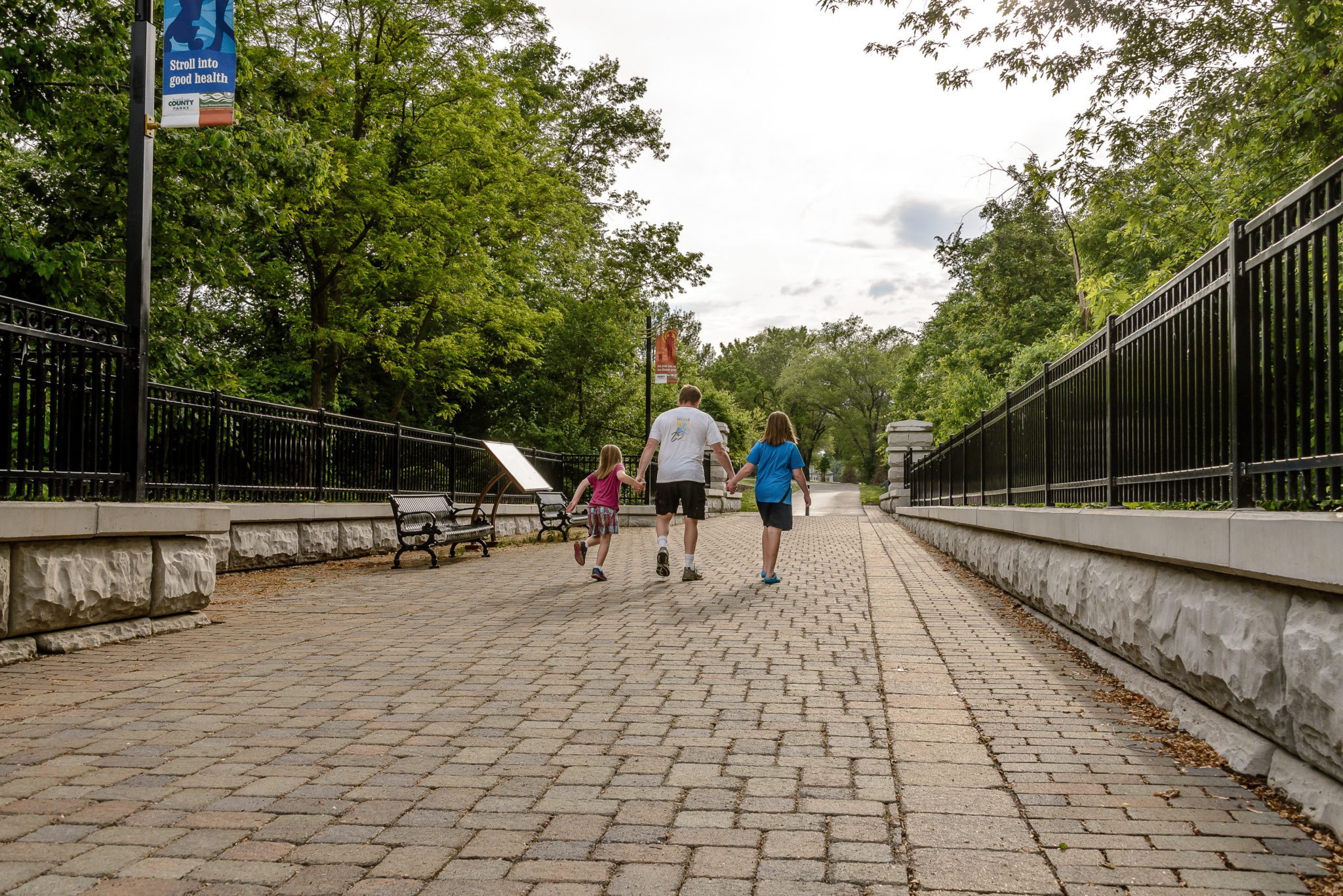
The Mississippi Greenway: Chouteau Riverfront to Old Chain of Rocks Bridge 15-mile (Riverfront Trail) winds through both sides of the flood wall that protects the City of St. Louis and offers views of the working riverfront that even most native St. Louisans have never seen before. The new 1.5 mile extension from Biddle to Chouteau opened in June 2016 and connects to the new circulation pathways on the Gateway Arch grounds.
Great Rivers Greenway and the City of St. Louis are looking at several areas along the greenway that could benefit from design modifications to decrease conflicts between recreational users and vehicles that need access for commerce along the industrial riverfront. Plans for this study are in development.
Current Status Mississippi Greenway South of Downtown:
The master plan for the southern portion of the Mississippi Greenway extends it nine miles from downtown St. Louis to the River des Peres Greenway and then ten miles further to the Meramec Greenway. Currently, there are two completed greenways along the Mississippi Greenway–Cliff Cave County Park and Jefferson Barracks to River des Peres.
Mississippi Greenway: Jefferson Barracks to River City Casino extends 1.75 miles from the trailhead in Jefferson Barracks Park to the northern edge of the River City Casino Property along the River des Peres. Visitors to Jefferson Barracks Park in St. Louis County can use this greenway to get an up close view of the Mississippi River, and will eventually be able to walk or ride all the way to Carondelet Park or the Lansdowne-Shrewsbury MetroLink Station.
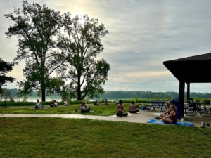
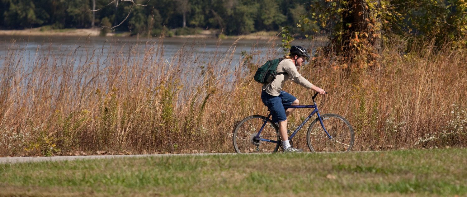
Mississippi Greenway: Cliff Cave County Park features a 4.66 mile (paved) route along the Mississippi River and 2.04 miles up the 170 foot bluff to a scenic overlook. There is also a connection to Telegraph road for people walking and biking. This segment of greenway lies entirely within Cliff Cave Park–named for the cave tucked in the bluffs of south St. Louis County. The park offers hiking, mountain biking, and equestrian trails as well as picnic areas and shelters.
Projects In Progress
There are no current projects at this time.