Description
There is lots to explore and enjoy along this greenway. You can walk or ride your bike to the athletic fields, community center, pool and playground in the park. The University of Missouri campus is situated in the northern part of the greenway. It also connects to four MetroLink Stations!
Even though this greenway is in St. Louis County, it feels a bit rural. Be sure to stop and read the interpretive signage that tells the story of the historic St. Vincent Hospital that still stands within the park. There is also a boardwalk where you can enjoy views of Engelholm Creek.
See the full plan for this greenway here.
Get Directions to St. Vincent Greenway: Rock Road Transit Center to St. Vincent Park to UMSL
Getting There
This greenway currently runs between St. Charles Rock Road, St. Vincent County Park, the University of Missouri-St. Louis campus and the North Hanley Transit Center.
Each greenway is managed in cooperation with different municipalities and parks departments, who set the rules for greenway use, parking and hours of operation. Greenways often span multiple municipalities, so please be aware that these rules can change as you travel along the trail. Please be sure to follow all posted rules and regulations while you are living life outside!
Things to Do
Grill You can grill out on the grills located in St. Vincent Park.
PlayYou can play on the playgrounds and athletic fields in St. Vincent Park.
SwimYou can swim at the water park in St. Vincent Park. Check out the St. Louis County website for more information.
Trail Details
4.46 Miles
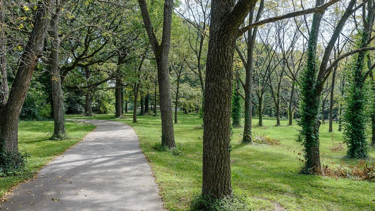
The paved trail has a direct connection to four MetroTransit Centers. It follows St. Charles Rock Road west towards a new connection into St. Vincent County Park. It meanders through St. Vincent Park and the University of Missouri-St. Louis campus. The trail is mostly flat throughout the park, but the rolling hills found on the UMSL campus are remnants of its past life as the Bellerive Country Club golf course. It offers a nice mix of sun and shade.
The paved trail on the UMSL campus is known as the Wayne Goode Trail, named after the famed Missouri legislator. It ties together the north and south campuses along with St. Vincent County Park and the Ted Jones trail, which extends 2.2 miles north to Old Town Ferguson.
Visit the map on UMSL’s website to see the trail’s route through the campus. The paved trail provides a direct connection to three Metrolink stations, as well as an easy way to explore everything St. Vincent County Park has to offer.
Amenities
Benches
Bike Racks
Drinking Water
Parking
Playground
Restrooms
Shelters
Tables
Trash
Share Your Greenways Stories
Greenway stories are shared through art and signs, tours, digital content, outreach, and community events. These greenway stories are organized around themes of nature, culture, and history. Share your greenway story by visiting the Share Your Stories page or recording your story at 314-932-4904.
Share Your Story