Description
This unique park within the greenway gets its name from the cave tucked in the bluffs of south St. Louis County. There is tremendous folklore surrounding the area, including stories from its past as a riverside tavern during the early exploration days of Missouri, a hideout for horse thieves as well a summer camping area for Native Americans. It is known for its Karst topography – a region where the bedrock has been dissolved or collapsed, leading to caves or sinkholes.
The park offers hiking, mountain biking, and equestrian trails as well as picnic areas and shelters. You can enjoy both sun and shade as you explore trails in this section of the greenway. Click here for more information about the River Bluff and Spring Valley trails in Cliff Cave Park.
This area attracts hundreds of migratory birds in the spring and fall. In the summer, you can see Great Blue Herons and Egrets. Some bottomland woodlands and wetlands can be seen from the greenway.
Get Directions to Mississippi Greenway: Cliff Cave Park
Getting There
You can get to this greenway on Telegraph Road in south St. Louis County.
Each greenway is managed in cooperation with different municipalities and parks departments, who set the rules for greenway use, parking and hours of operation. Greenways often span multiple municipalities, so please be aware that these rules can change as you travel along the trail. Please be sure to follow all posted rules and regulations while you are living life outside!
Click one of the buttons below to plan your route with Google Maps.
Things to Do
Fish You can fish on the Mississippi River in Cliff Cave Park.
GrillYou can grill out on the grills located in Cliff Cave Park.
See WildlifeYou can observe wildlife in Cliff Cave Park.
Trail Details
6.69 Miles
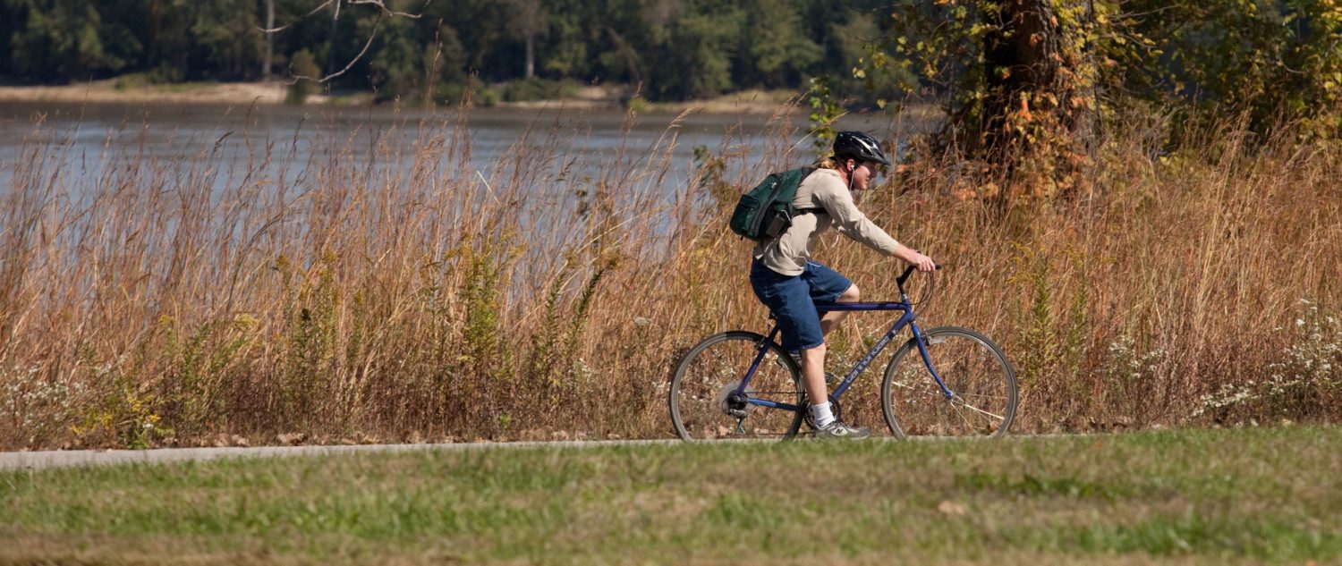
The Mississippi Trail is a 6.7-mile paved, loop asphalt trail that circles the floodplain bottomland. There is very little shade on this stretch of greenway, so be sure to bring water during the summer months. You can walk, run or ride along the trail and enjoy views of the Mississippi River. The 2.04 mile extension completed in May 2018 travels up the bluff to a new scenic overlook and a connection to Telegraph Rd. It offers a lot of tree cover, so is a nice choice on a hot summer day.
This is a quiet, rural place to enjoy nature. After a snowstorm, this area is perfect for cross country skiing.
There are two other unpaved trails in this section of greenway, the flat, 1-mile River Bluff Trail that offers an outstanding view of the river and surrounding valley from atop the bluff. You can also explore the 3-mile, moderately hilly Spring Valley Trail.
Amenities
Benches
Parking
Restrooms
Shelters
Tables
Trash
Upcoming Events
Friday, March 20th
12:00 pm - 2:00 pm
Share Your Greenways Stories
Greenway stories are shared through art and signs, tours, digital content, outreach, and community events. These greenway stories are organized around themes of nature, culture, and history. Share your greenway story by visiting the Share Your Stories page or recording your story at 314-932-4904.
Share Your Story