 Contact
 Donate
 Languages
 Events
 Visit Greenways
 Get Involved
 How We Work
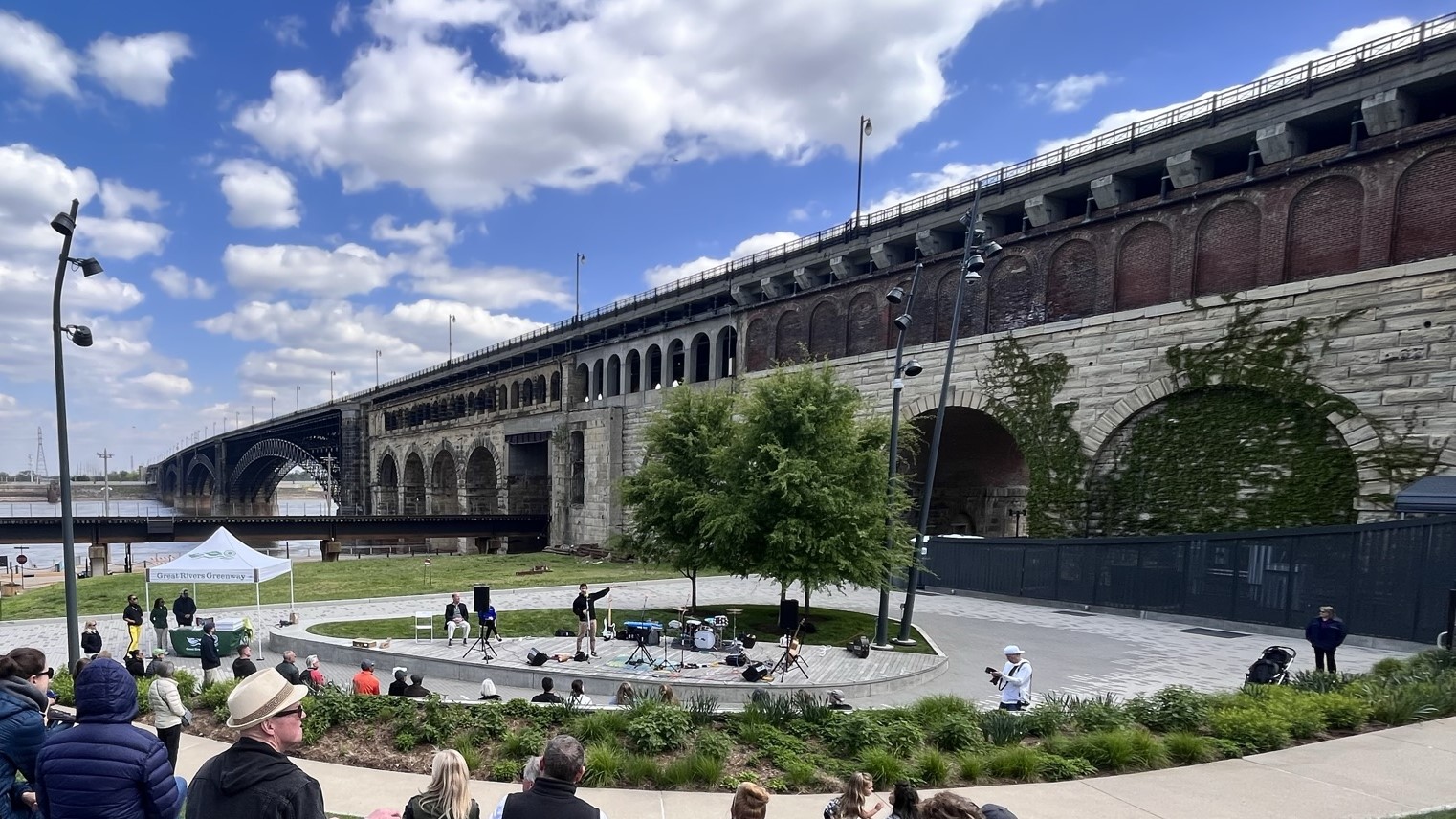
Description
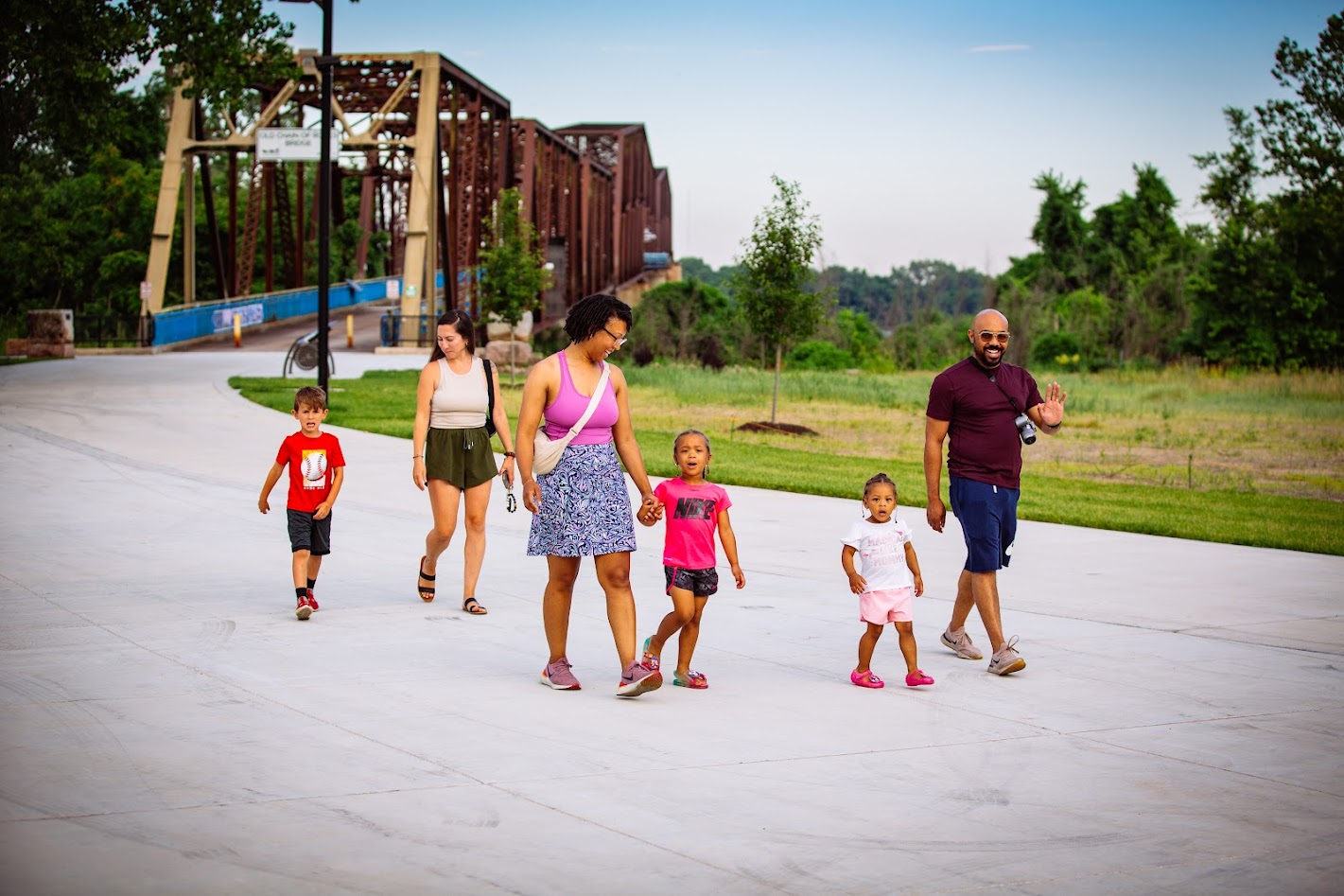
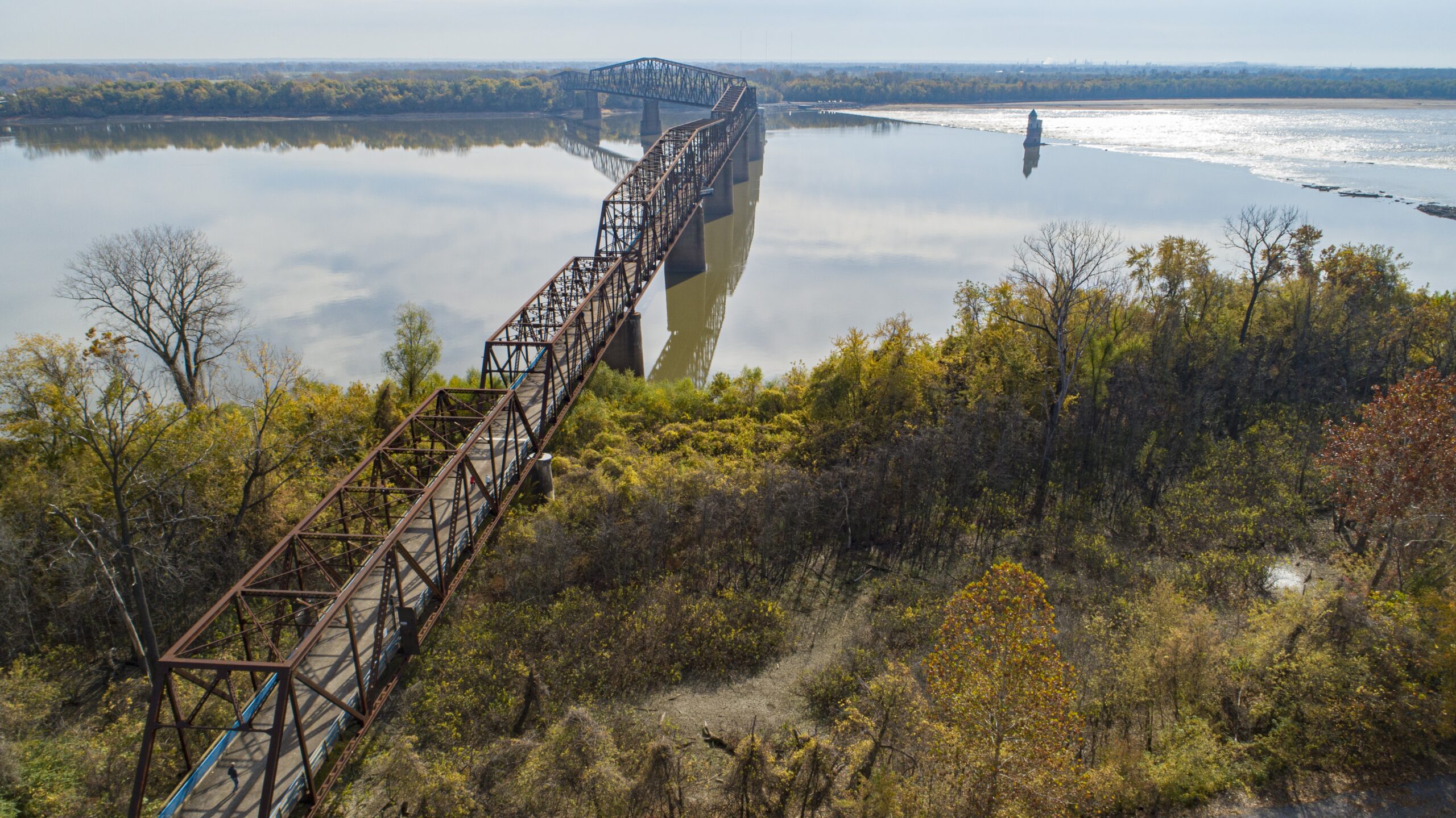
This highlight of the greenway are the sweeping views of the mighty Mississippi River. It also connects to the Madison County (Illinois) Transit trail system via the McKinley Bridge and Old Chain of Rocks Bridge.
The Historic Mary Meachum Freedom Crossing, Missouri’s first nationally designated Underground Railroad historic site, is approximately halfway between Biddle Street and the Old Chain of Rocks Bridge.
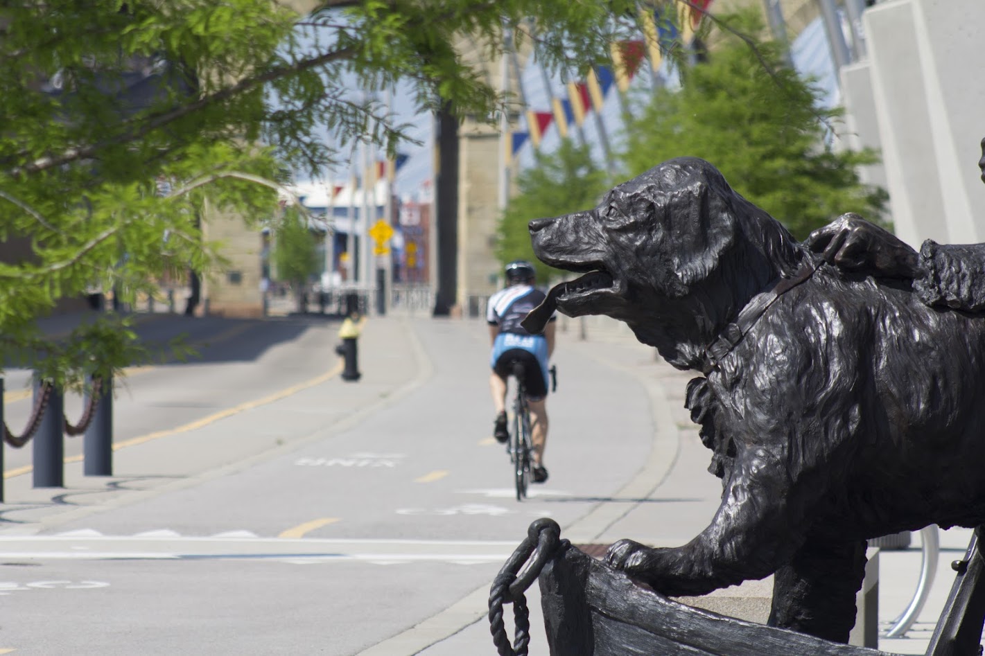
Chain of Rocks Parks welcomes visitors to the Missouri side of the Old Chain of Rocks Bridge. Chain of Rocks Park & Bridge are both open daily from 7 a.m. to 30 minutes after sunset unless otherwise posted.
Katherine Ward Burg Garden is located just north of the Arch Grounds next to the historic Eads Bridge. The City of St. Louis’ Riverfront Park is on the northern end of the greenway, and Maline Creek crosses through the greenway as it travels toward the Mississippi River.
See the full plan for this greenway here!
Get Directions to Mississippi Greenway: Chouteau Riverfront to Old Chain of Rocks Bridge (Riverfront Trail)
Getting There
The greenway is located near the heart of downtown St. Louis. The trailhead is located at Biddle Street just a few blocks north of the Martin Luther King Bridge.
This greenway is managed/maintained by City of St. Louis Parks Department with support from Great Rivers Greenway.
Things to Do
Explore History You can explore history at Gateway Arch National Park. (AKA The Arch!) Check out the National Park Service website for more information. Stop by the Mary Meachum Freedom crossing site.
FishYou can access the Mississippi River to fish along the majority of the trail.
Trail Details
16.19 Miles
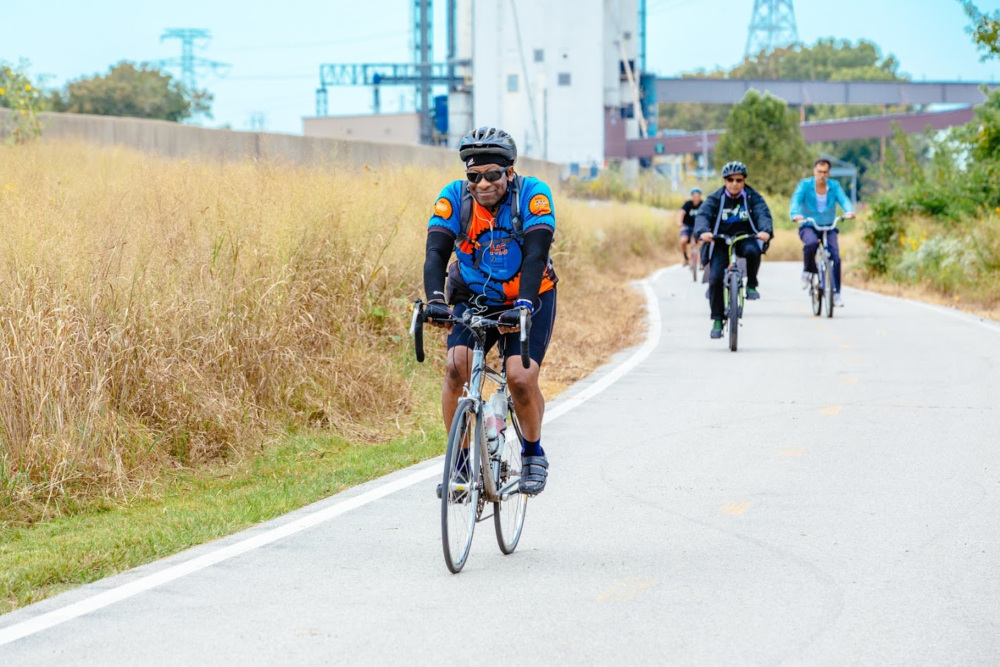
This 16.19-mile (includes Old Chain of Rocks and McKinley Bridge) paved trail in the Mississippi River Greenway is flat, and offers limited shade. It parallels the Mississippi River and winds it way through both sides of the flood wall that protects the city of St. Louis.
Please use caution when walking or riding on this trail because some sections are considered a levee road; you may see vehicles from adjacent businesses who are authorized to drive on the trail.
Amenities
Benches
Bike Racks
Drinking Water
Parking
Restrooms
Shelters
Tables
Trash
Upcoming Events
Saturday, March 28th
9:00 am - 11:00 am
Friday, April 3rd
12:00 pm - 2:00 pm
Share Your Greenways Stories
Greenway stories are shared through art and signs, tours, digital content, outreach, and community events. These greenway stories are organized around themes of nature, culture, and history. Share your greenway story by visiting the Share Your Stories page or recording your story at 314-932-4904.
Share Your Story