Master Plan
The master plan for the Busch Greenway calls for a continuous corridor from the KATY Trail on the south and the Dardenne Greenway in St. Charles County to the north. The greenway will continue from where it currently ends at Highway D, through the August A. Busch Conservation Area to the Dardenne Greenway near Barat Haven.
Current Status
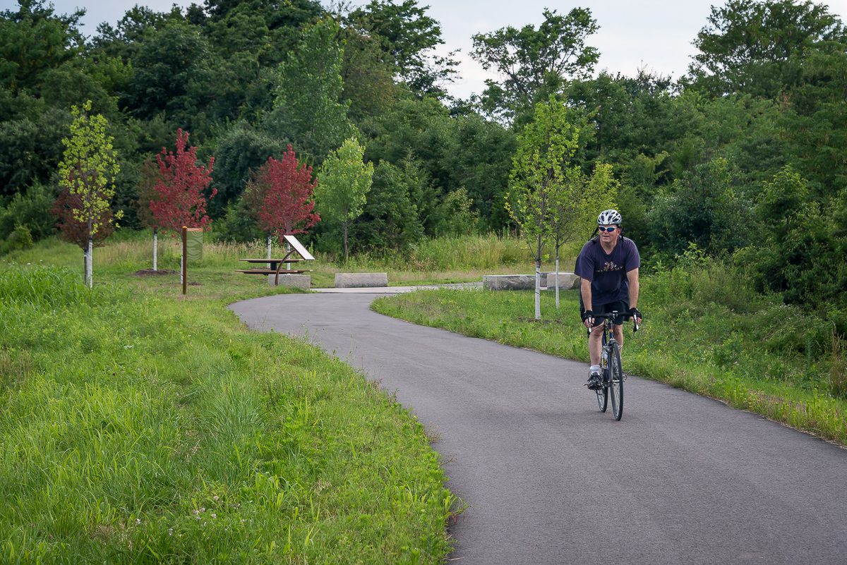
The Busch Greenway (paved) currently stretches 4.75 miles from the KATY Trail to Missouri Research Park to August A. Busch Conservation Area at Highway D. It also completes a 13.1-mile loop linking the greenway with the Hamburg Trail and KATY Trail (unpaved). Thanks to its connection with the KATY Trail, you can easily walk or ride to the separated bicycle/pedestrian pathway across the Boone Bridge and connect to the Missouri River Greenway (paved) on the Monarch Chesterfield Levee in St. Louis County.
Projects In Progress
There are no current projects at this time.
Future Connections
Future Extensions
Future plans include an extension through the August A. Busch Conservation Area that will connect to Dardenne Greenway: BaratHaven. This project is expected to begin in the next five years.