Contact
 Donate
 Languages
 Events
 Visit Greenways
 Get Involved
 How We Work
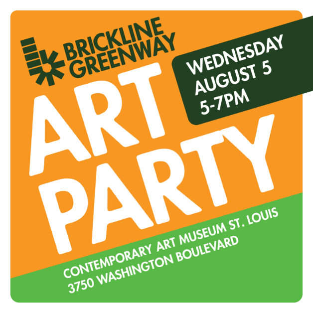
Sunday, September 29, 20249:00 am - 1:00 pm
Event Details
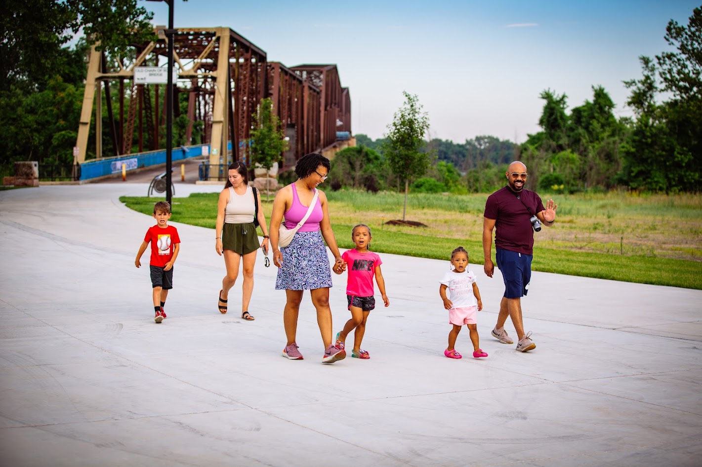
Chain Of Rocks Park
10840 Riverview Drive, St. Louis, MO, USA
Are you joining us for Bridge Boogie on Sunday Sept. 29? Here is some important information about parking! Parking is limited at Chain of Rocks Park, so we recommend that you park on the Illinois side of the bridge on Chouteau Island. Here are directions to Chouteau Island from Missouri: Take Eastbound I-270 across the river to the first exit in Illinois (Exit 3A), go right (south) on Route 3 to W. Chain of Rocks Rd and turn right (west) and follow the road to parking lot on Chouteau Island. From the parking lot, Walk or ride your bike about one mile across the bridge to Chain of Rocks Park! Note that the east bound ramp to I-270 from Riverview Blvd. by Chain of Rocks Park is CLOSED for construction. So if you want to head east on I-270 from Riverview, you’ll have to backtrack west on I-270, take the exit at Lilac and turn around to get back on eastbound I-270. See you tomorrow! Here is a link to a map: https://maps.app.goo.gl/SKj1CGyeBYcExgqT8
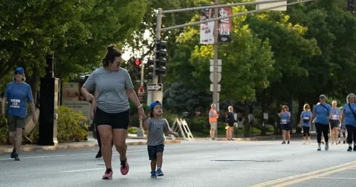
Join us for the first-ever Bridge Boogie at Chain of Rocks Park!
9-10am: Walk, Run & Meditation with STL Run Crew
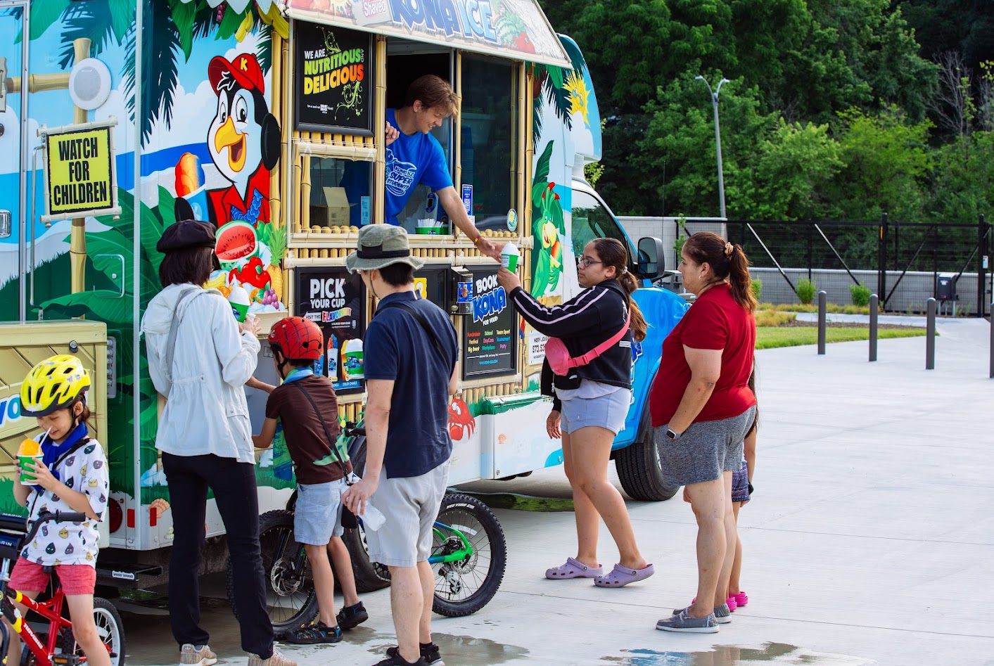
10am-1: Food Trucks – Dessert Road & Food Time
10-11am: Music with DJ Jillian
11-noon: Yoga with Andrea Cox
noon-1pm: Dance class with Yes Honey Studio
Chain Of Rocks Park
10840 Riverview Drive, St. Louis, MO, USAAdditional Notes:
Are you joining us for Bridge Boogie on Sunday Sept. 29? Here is some important information about parking! Parking is limited at Chain of Rocks Park, so we recommend that you park on the Illinois side of the bridge on Chouteau Island. Here are directions to Chouteau Island from Missouri: Take Eastbound I-270 across the river to the first exit in Illinois (Exit 3A), go right (south) on Route 3 to W. Chain of Rocks Rd and turn right (west) and follow the road to parking lot on Chouteau Island. From the parking lot, Walk or ride your bike about one mile across the bridge to Chain of Rocks Park! Note that the east bound ramp to I-270 from Riverview Blvd. by Chain of Rocks Park is CLOSED for construction. So if you want to head east on I-270 from Riverview, you’ll have to backtrack west on I-270, take the exit at Lilac and turn around to get back on eastbound I-270. See you tomorrow! Here is a link to a map: https://maps.app.goo.gl/SKj1CGyeBYcExgqT8
Get Directions on Google Maps
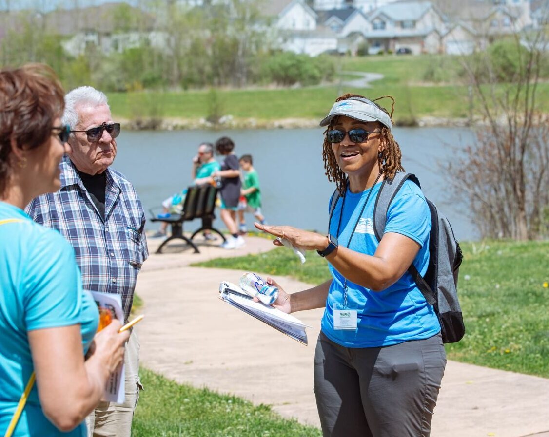
Featured Events
Whether it’s a community event, a trash clean-up or an open house, hope to see you there!
View All Events