Brickline Greenway at CityPark

20th to 22nd Street

Description

This segment of the Brickline Greenway stretches between 20th and 22nd streets along Market Street at CITYPARK Stadium in downtown St. Louis.  It includes Pillars of the Valley – Damon Davis’ permanent art installation that pays tribute to the historic Black Mill Creek Valley neighborhood. Learn more about Pillars of the Valley here.  This greenway will soon expand 0.85 more miles west along Market Street from 22nd street to Harris-Stowe State University at Compton Avenue.

Get Directions to Brickline Greenway at CITYPARK

Getting There

This greenway segment is located along Market Street on the south side of CITYPARK in downtown St. Louis.

Each greenway is managed in cooperation with different municipalities and parks departments, who set the rules for greenway use, parking and hours of operation. This segment of greenway is managed in partnership with STL City SC, the City of St. Louis and Great Rivers Greenway.

Things to Do

Explore History

Learn more about this history of the once-thriving Mill Creek Valley neighborhood which was destroyed (and 20,000 Black residents displaced) in the name of “urban renewal.” See the permanent public art installation, Pillars of the Valley, that commemorates Mill Creek Valley. This art installation was created by Damon Davis with support from partners Great Rivers Greenway, St. Louis CITY SC, City of St. Louis, Counterpublic and Harris-Stowe State University.

Play

You an watch STLCity SC PLAY soccer at CityPark! (not to mention enjoy delicious food, music & plenty of team spirit!) Learn more here.

Benches

Benches are available along this greenway along Market St.

Bike Racks

Bike racks are along the greenway, as well as 100 bike parking spaces in the garage for CITYPARK stadium.

Trail Details

0.17 Miles

This paved trail stretches 0.17 miles between 20th and 22nd Street along Market at CITYPARK.

Download the Guide

Amenities

Benches

Bike Accessible

Bike Racks

Dine

Less Than 4 Miles

Parking

Paved Trails

Play

Popular

Sunny Trails

Trash

Urban

Share Your Greenways Stories

Greenway stories are shared through art and signs, tours, digital content, outreach, and community events. These greenway stories are organized around themes of nature, culture, and history. Share your greenway story by visiting the Share Your Stories page or recording your story at 314-932-4904.

Share Your Story
Deer Creek Greenway

Deer Creek Park to Brentwood Park

Description

You can walk or ride to nearby parks, Deer Creek Shopping Center and connect to other restaurants, businesses and residential neighborhoods in Maplewood, Webster Groves and Brentwood. Maplewood’s Deer Creek Park is often called “Rocket Park” because of its space-themed playground and tall rocket slide. It is a very popular gathering place for families with small children. There are baseball and soccer fields on the Webster Groves side of the park.  You can also find restrooms, picnic areas and a gazebo. In Lorraine Davis Park, there are  boardwalks, landscaping with native plants, and a pavilion with picnic tables and a drinking fountain overlooking the confluence of Deer and Shady Creeks. There is a half court basketball court in Barnickel Park. Thanks to the funding and cooperation by the City of Webster Groves and the Bellwether Foundation, Inc., there is a trailhead  along Marshall Avenue, just east of Brentwood Blvd. The trailhead includes parking for greenway users, a covered pavilion, a drinking fountain, a bike fix-it station and a “pump track,” which features a series of rolling hills and banked turns where bicyclists can have fun and practice their mountain-biking skills. Brentwood Park has a 2.7 acre destination playground with water features. There is also an underpass beneath Manchester Road that connects to community trails as well as a connection to the intersection of Laclede Station/Hanley and Manchester Rd near the Maplewood Metro Station.
See the full plan for this greenway here!

Get Directions to Deer Creek Greenway: Deer Creek Park to Brentwood Park

Getting There

The trailhead in Deer Creek Park is located just south of the intersection of Manchester Road and South Hanley Road. Parking is available in Brentwood Park. See all parking options for Brentwood Park here.  If you live nearby, you may be able to walk to this greenway. You can also park in Barnickel Park or at the Marshall Avenue Trailhead.

Each greenway is managed in cooperation with different municipalities and parks departments, who set the rules for greenway use, parking and hours of operation. The segment of greenway from Big Bend Blvd to the bridge over Deer Creek in Deer Creek Park (Rocket Park) is managed by the City of Maplewood.  The other side of bridge over Deer Creek to Lorraine Davis Park is managed by the City of Webster Groves. Brentwood Park is managed by the City of Brentwood. Please be sure to follow all posted rules and regulations while you are living life outside!

Things to Do

Grill

You can grill out on the grills located throughout Deer Creek Park.

Play

You can play on the spaceship themed playground or on the many athletic fields located in Deer Creek Park. There is a pump track for riding bikes at the trailhead on Marshall Avenue. You can play on the playground and basketball court in Barnickel Park. Brentwood Park has a 2.7 acre destination playground with water features.

Waterways

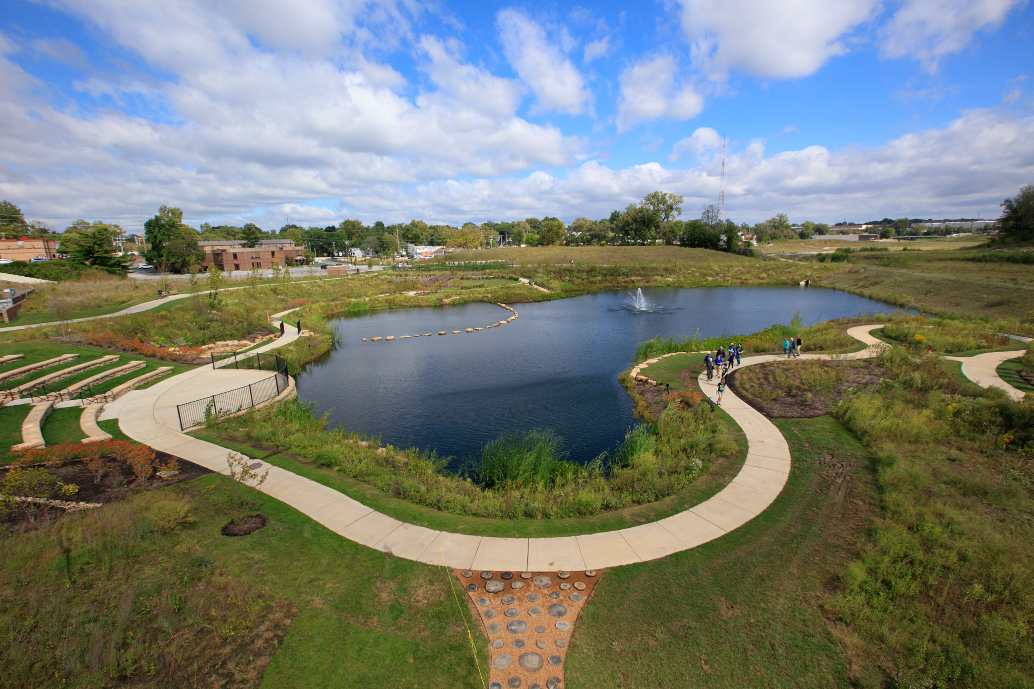
Brentwood Park was created as part of the Brentwood Bound project that aims to mitigate flooding in Brentwood. The park was designed to restore the Deer Creek floodplain within Brentwood. In the event of flooding, the lower part of the park along Deer Creek is designed to contain water as the natural floodplain would.

Trail Details

3.57 Miles

This paved asphalt trail extends 3.57 miles between Deer Creek Shopping Center at Big Bend Avenue through Deer Creek Park in Webster Groves and Maplewood to Lorraine Davis Park in Webster Groves and Brentwood Park. It links five parks and offers a direct connection to the stores in Deer Creek Center as well as some businesses in Brentwood.  There is an underpass beneath Manchester Road from Brenwood Park that connects you to Brentwood community trails as well as a connection to the intersection of Laclede Station/Hanley and Manchester Rd, near the Maplewood MetroLink Station.

Download the Guide

Amenities

Benches

Bike Accessible

Bike Racks

Drinking Water

Parking

Playground

Restrooms

Shelters

Tables

Trash

Share Your Greenways Stories

Greenway stories are shared through art and signs, tours, digital content, outreach, and community events. These greenway stories are organized around themes of nature, culture, and history. Share your greenway story by visiting the Share Your Stories page or recording your story at 314-932-4904.

Share Your Story