 Celebrate the launch of a landmark geotourism website which highlights communities, attractions and businesses all along the Mississippi River during a special recognition program at the National Great Rivers Museum, #2 Lock and Dam Way, East Alton, IL, at 10 a.m. Wednesday, Oct. 19.
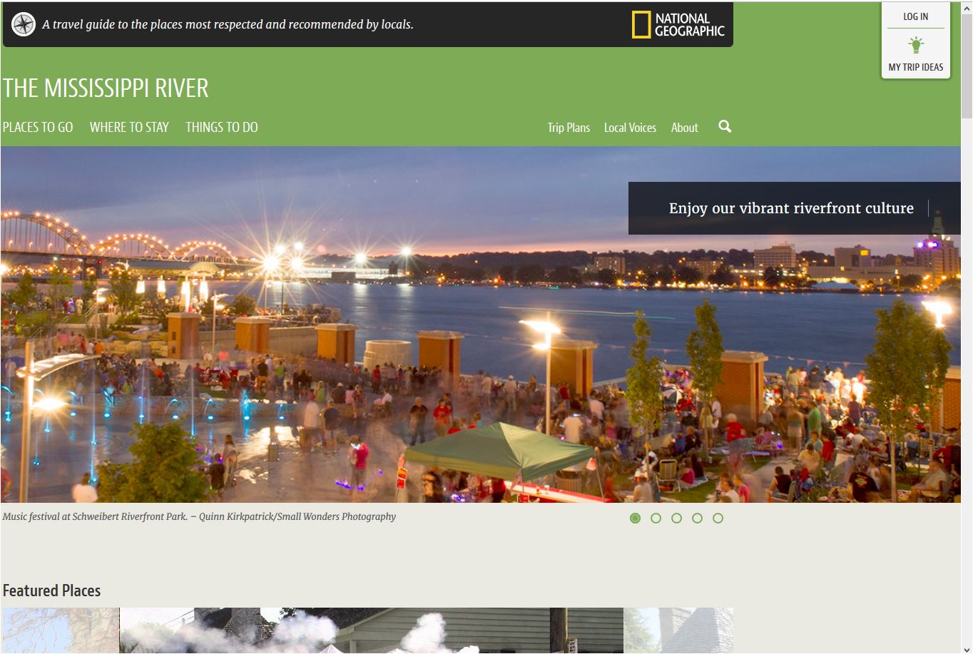
Local community leaders, regional and state tourism directors, federal partners and Mississippi River businesses and residents are invited to attend the launch of the Mississippi River Geotourism MapGuide, a partnership project with National Geographic Maps. The landmark project has taken two and a half years to plan and execute and is a historically significant digital asset for everyone who visits or lives in the 10 states along the Mississippi River.
Over the last 18 months, people along the Mississippi River have contributed almost 2,000 nominations of communities, sites, attractions, festivals, events, and small businesses for inclusion on the website. As a project partner, Great Rivers Greenway has included information about each of the greenways in St. Louis City, St. Louis County and St. Charles County.
“We are telling the story of what’s so special about the people, places and businesses along the River,” said Kimberly Rea of the U.S. Army Corps of Engineers. “The website is now live and is a great resource to help attract visitors. They can use the website to guide them to both the popular places and to the lesser known gems that are waiting to be discovered.”
The Mississippi River Connections Collaborative and the Meeting of the Rivers Foundation were among the many local partners involved in the development of the website. To see all the things you can do along the Mississippi River between New Orleans and the headwaters in Minnesota, click here.