The Fee Fee Greenway parallels Fee Fee Creek, and lies within the Missouri River watershed. It is a suburban greenway that extends from the Maryland Heights Recreation Complex to Creve Coeur Lake Memorial Park
As part of the overall River Ring Master Plan, the Fee Fee Greenway will serve as a link between the Centennial Greenway and Missouri Greenway.
Current Status
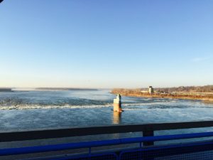
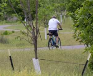
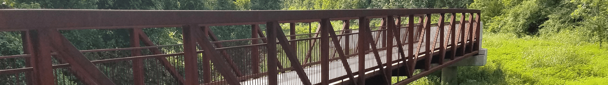
The Fee Fee Greenway currently extends 2.7 miles (paved) from the Maryland Heights recreation complex through McKelvey Woods Nature Park to Creve Coeur Lake Memorial Park. This makes it possible for you to continue your walk or bike ride through the park to the Creve Coeur Connector trail. Then you can cross over the Missouri River to connect to the KATY Trail and Centennial Greenway in St. Charles County, which enables connections to the St. Charles County Heritage Museum or across Highways 364 and 94 in St. Charles County.
Projects In Progress
There are no current projects at this time.