Meramec Greenway
Lower Meramec Park
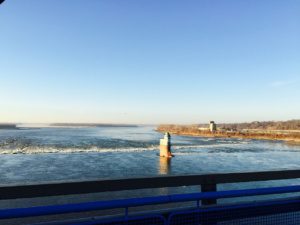
This section of greenway lies along the Meramec River bottomlands near the intersection of Meramec Bottom Road and Highway 55 in St. Louis County’s 273-acre Lower Meramec Park. It is a mixture of woodlands and open fields. The trees are highly diverse with some of the best remaining woodlands in the Lower Meramec Valley.
Read MoreAmenities
Getting Here
The trailhead on Krumm Road is located very close to the Meramec Bottom Road exit off of I-55.
Each greenway is managed in cooperation with different municipalities and parks departments, who set the rules for greenway use, parking and hours of operation. Greenways often span multiple municipalities, so please be aware that these rules can change as you travel along the trail. Please be sure to follow all posted rules and regulations while you are living life outside!
Click one of the buttons below to plan your route with Google Maps.
This trail is not easily accessible by bike.
You cannot currently access this greenway via bus.
You cannot currently access this greenway via Metrolink.
You can park at the trailhead on Krumm Road right off of Meramec Bottom Road.
Things To Do
fish
You can access the Meramec to fish from this greenway.
wildlife
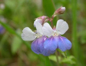
The Meramec River and surrounding wetland areas attract a wide variety of wildlife.
Trail Info
1.92 Miles
This section of greenway has a 1.9-mile, flat paved trail that parallels the Meramec River. Most of the trail is shaded by the towering oaks along the way.
The paved trail connects to the 1.2-mile Tall Timbers Trail. This unpaved trail meanders along a wetland swamp that is fed year-round by spring water.