St. Vincent Greenway
Forest Park to Trojan Park to Wellston MetroLink
The southern portion of the St. Vincent Greenway stretches from Forest Park at Lindell to Trojan Park at Etzel and North Skinker Parkway and continues on Stephen Jones Ave to Plymouth Avenue with a direct connection to the Wellston MetroLink Station.
This section of greenway stretches through residential areas and commercial districts and is a popular route for walking and biking to connect with Forest Park on the south as well as the Delmar, Forest Park and Wellston Metrolink stations. It runs parallel to DeBaliviere from the History Museum to where the paved path turns into Ruth Porter Mall Park. It’s also a treasured green space for getting fresh air, having a picnic or enjoying family and neighborhood get-togethers.
Click here to download a printable Greenway Info Guide for the St. Vincent Greenway: Forest Park to Trojan Park.
The restroom at Trojan Park will be closed for the winter season.
Read MoreAmenities
Getting Here
This greenway is in the city of St. Louis, north of Forest Park and the Skinker-DeBaliviere neighborhood. It also passes through the City of Wellston from Trojan Park to its current endpoint just past the Wellston MetroLink station at Robert Powell Place and Plymouth Ave. You can access it near the intersections of Delmar Boulevard and DeBaliviere Avenue, Etzel Avenue and North Skinker Boulevard and Lindell at the Missouri History Museum. If you visit the Delmar Loop, you can walk to explore this greenway. If you live nearby, there are several access points to this greenway.
Each greenway is managed in cooperation with different municipalities and parks departments, who set the rules for greenway use, parking and hours of operation. Greenways often span multiple municipalities, so please be aware that these rules can change as you travel along the trail. Please be sure to follow all posted rules and regulations while you are living life outside!
Click one of the buttons below to plan your route with Google Maps.
This greenway is accessible by bike via several neighborhood cross streets in the cities of St. Louis and Wellston.
Use metro to plan your trip at https://www.metrostlouis.org/planner/
You can access this section of the St. Vincent Greenway from the Delmar, Forest Park and Wellston Metrolink Stations.
There is a parking lot for this greenway at the intersection of Etzel Avenue and Stephen Jones Avenue directly across the street from Trojan Park.
Things To Do
dine
There are several places for you to dine in the Delmar Loop.
swim
You can play in the water at the splash and play pad located on Delmar Boulevard or in Trojan Park.
play
You can play in the water at the splash and play pad located on Delmar Boulevard or in Trojan Park.
Trail Info
2.49 Miles
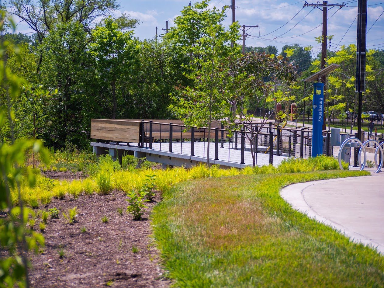
This paved asphalt trail is 2.5 miles long and extends from Lindell at the Missouri History Museum, running parallel to DeBaliviere Avenue north through Ruth Porter Mall Park. It continues onto a wide sidewalk along Etzel Avenue to North Skinker Boulevard at Trojan Park. From Trojan Park it runs north on Stephen Jones Avenue, heads west on Plymouth Avenue with a direct connection to the Wellston MetroLink Station. It ends at Robert Powell Place. It crosses over several residential streets making, it an easy way to walk or ride bikes around the neighborhood. People of all ages use the paved trail to walk to Ruth Porter Mall Park or Trojan park to enjoy summertime concerts, picnics and the splash pad.
The trail is mostly flat with a mix of sun and shade.
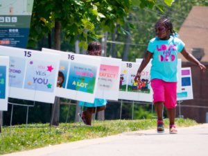
Fall in Ruth Porter Mall Park.

St. Vincent Greenway along DeBaliviere
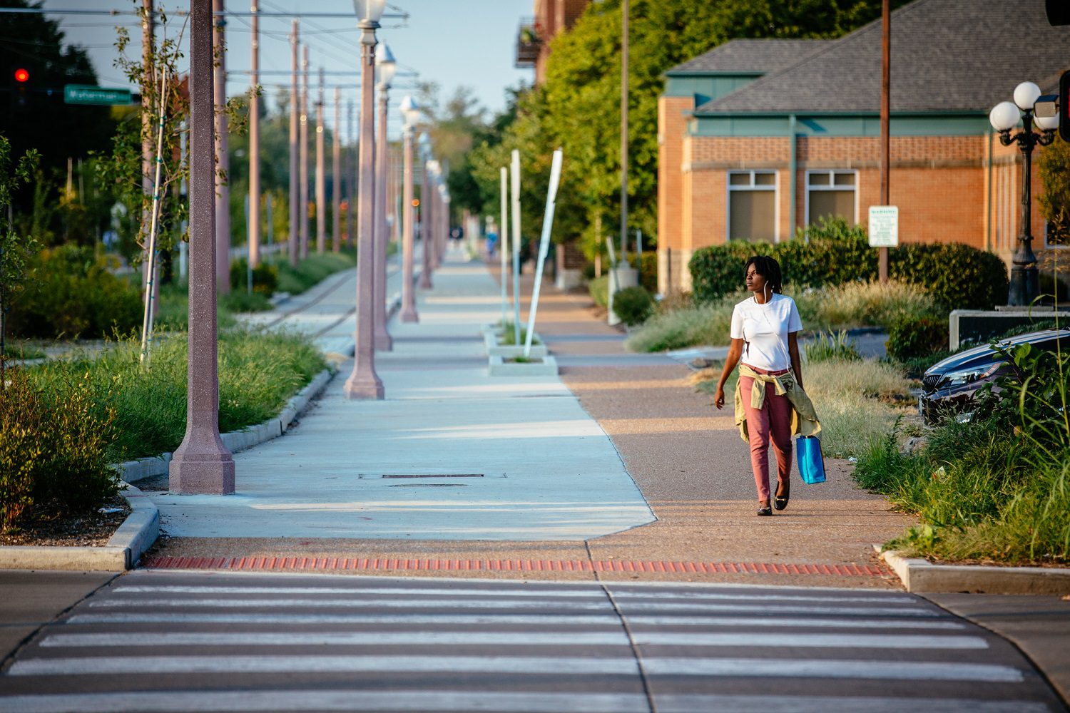
St. Vincent Greenway along DeBaliviere

Trojan Park Playground

Splash Pad at Trojan Park
Pocket Park at Engelholm Creek