While the big news this fall was the opening of the new bridge connecting the River des Peres and Gravois Greenways – there are many other greenway projects moving forward across the region. Here’s a quick update:
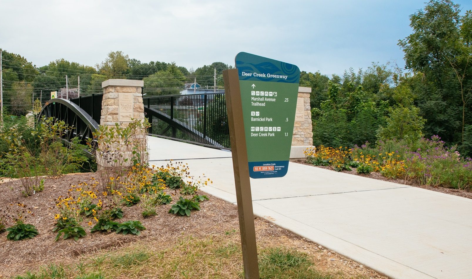
Deer Creek Greenway: Deer Creek Center to River des Peres Greenway
This project aims to extend the Deer Creek Greenway from its endpoint at Big Bend Blvd. through Maplewood to connect to the River des Peres Greenway at the intersection of Ellendale and Canterbury in the City of St. Louis. Preliminary design of the new route continues and we’ll work with the community to develop final designs throughout 2021-2022. If the project is approved by partners, construction is slated for 2023-2024. We’ll also be working with the City of Webster Groves to develop a small pocket park/pedestrian trailhead at Big Bend and Oxford (formerly McDonalds) that will connect to the future Maplewood greenway. Read more.
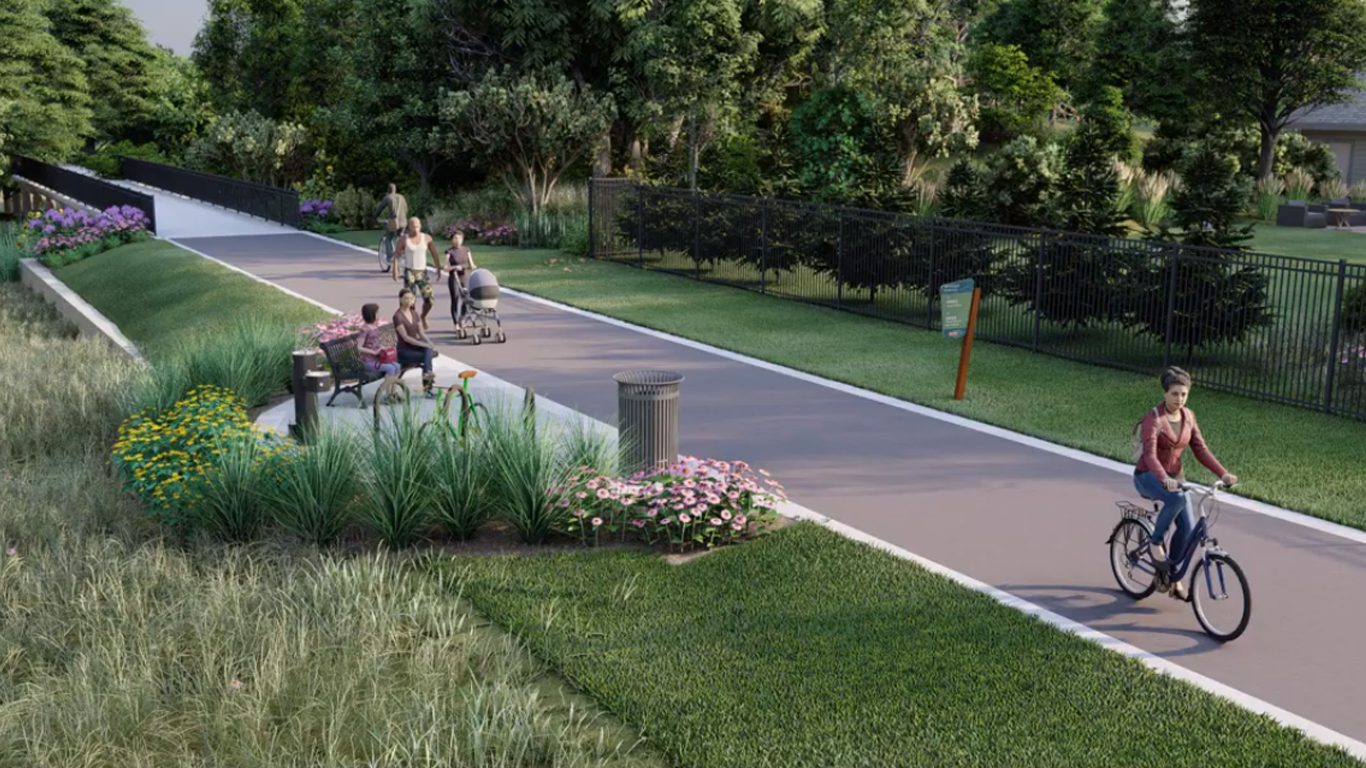
Deer Creek Connector
We are working with the City of Brentwood to plan, design and construct a connection between the Deer Creek Greenway at Marshall Road and Brentwood’s Norm West Park and Rogers Parkway. This project is a part of the city’s $80 million Brentwood Bound storm water mitigation plan for the Deer Creek flood plain and will incorporate numerous water quality, stream bank, restoration and open space features, as well as an underpass below Manchester Road for a seamless connection for people walking and biking. Design is underway and construction is expected to begin summer 2021, with completion in 2022.
Brickline Greenway
The Brickline Greenway continues to make progress on planning and design, driven by community engagement. 130+ institutional and cultural partners, neighborhood representatives, private funders and city staff are in working groups that are stewarding the following three segments:
- Fairground Park to Grand MetroLink Station (and eventually east to NGA)
- Central West End MetroLink Station to Grand MetroLink Station
- Harris Stowe State University to the Major League Soccer Stadium – including an art installation by artist Damon Davis to remember and honor the Mill Creek Valley neighborhood
In addition to those segments, we will continue to collaborate with other projects in our region such as the Cortex to Tower Grove Connector project (a collaboration of Trailnet, City of St. Louis, Arch to Park and many others), Project Connect, the PGA Golf project on North Grand and the St. Louis Development Corporation’s Equitable Economic Development Plan to ensure these efforts and the Brickline Greenway support and complement each other. Want to get involved with the project. (Sign up here to get email or text message updates and invitations to give input on the Brickline Greenway.)
Centennial Greenway: Christy Drive to Hackmann Drive (St. Charles County)
This project will extend the Centennial Greenway: Katy Trail to Heritage Museum in St. Charles County to Schaefer Park. It will also set the stage for future greenway connections that will make it possible to walk or ride a bike on dedicated walking and biking paths all the way from the St. Peters Rec-Plex to the Katy Trail. In 2019, community members weighed in on proposed routes and amenities for the greenway. Design is in progress and expected to be bid for construction in 2021-2022. We will also be adding wayfinding signs along the planned Centennial Greenway project that is being constructed by the City of St. Peters which extends from Hackmann Road to Spencer Creek Trail adjacent to Harvester Church of the Nazarene.
Centennial Greenway I-170 and Olive Blvd to Warson Park
We are working with the City of Olivette to plan the next segment of the Centennial Greenway from I-170 and Olive to Warson Park. Over the course of 2018 and 2019, our planning team engaged with Olivette neighbors to learn the community’s priorities for a greenway through the city. The next steps will be design for Phase 1 (Dielman Rd to Warson Park and the new Olivette Community Center) and launching the process to build the greenway along the former railroad line. Final design for phase 1 is scheduled to be completed in 2021. Final Design for phase 2 (Olive Blvd and I-170 to Dielman Rd) is expected to begin in 2021, or as soon as we receive clearance to build the greenway along the former rail line. If we are unable to build in this corridor, we will proceed with plans for the alternate route. Read more here.
River des Peres Greenway to Mississippi Greenway
The final half mile—between South Broadway and the northwest corner of the River City Casino property—to connect the River des Peres and Mississippi Greenways has been on hold to allow for Metropolitan St. Louis Sewer District (MSD) sewer line repairs and improvements, and to obtain clearance from Union Pacific Railroad (UPRR) to construct the greenway beneath the railroad bridge. After many delays due to flooding, MSD has completed their project. We are now waiting for a positive response from UPRR which will allow us to complete the greenway. Stay tuned for additional updates on this project!
Maline Greenway in Ferguson
This 1.5 mile stretch of the Maline Greenway will link the Ted Jones Trail to Forestwood Park and then on to West Florissant Avenue. By connecting to the Ted Jones Trail, it also opens up a connection to the University of Missouri-St. Louis campus and the St. Vincent Greenway. In 2019, the project was awarded $2 million in federal Surface Transportation Program funds that will be used for construction. As the design moves forward in 2021, we will be reaching out to community members to share updates periodically and gather feedback from select focus groups. There is still plenty of design work to be completed before the federal funds are made available to us in October of 2022. Construction is slated to begin in late 2022.
Hodiamont Greenway
We are working with the community to plan a greenway along the former Hodiamont Tracks. The greenway will include the seven neighborhoods of Covenant Blu-Grand Center, Vandeventer, Lewis Place, Fountain Park, Academy/Sherman Park, Visitation Park and West End. (Sign up here to get email or text message updates and invitations to give input on the Hodiamont Greenway.)
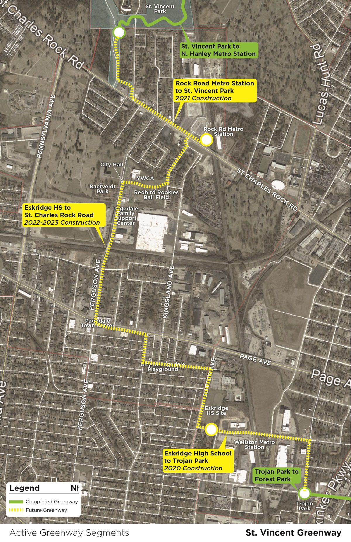
St Vincent Greenway
We are working with many partners to close the gap between the northern and southern segments of the St. Vincent Greenway. When complete, the greenway will stretch between Forest Park at Lindell through the University of Missouri-St. Louis Campus to the North Hanley MetroLink. We’ll complete this greenway in three phases- here’s the latest update on each phase:
Trojan Park to former Eskridge High School Site (Phase 1): This will extend the greenway an additional .53 miles from its current endpoint at Trojan Park on Etzel Avenue to the site of the former Eskridge High school in Wellston. Plans are complete and we’ll break ground on the .53 mile expansion from Trojan Park in early 2021 once utility relocations are complete!
St. Vincent County Park to Rock Road Transit Center (Phase 2): This .83 mile section will parallel St. Charles Rock Road with a direct connection to the Rock Road Transit Center and St. Vincent County Park. Plans for this project are complete. It will be built as part of Missouri Department of Transportation’s improvements to St. Charles Rock Road in partnership with St. Louis County Parks and Bi-State Metro. Construction is expected to begin in 2021.
Eskridge High School Site to St. Charles Rock Road through Pagedale (Phase 3): Thanks to the input and feedback from the Pagedale community, in early 2020 we identified the route for the greenway from the former Eskridge High School to St. Charles Rock Road. We are working through the design phase to develop technical construction documents to prepare the project for future construction in 2022.