 River Views, Soaring Bluffs, Sunshine & Shade
If you’ve never explored the confluence of the Western and Meramec Greenways, now is the time to plan a trip! There are a variety of things to see and do along the way, so we’ve compiled a list of options so you can build your own adventure.
Meramec Greenway: Glencoe to Sherman Beach Park
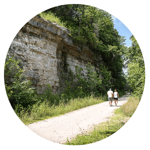
This greenway stretches from Sherman Beach in southwest St. Louis County along the river to Glencoe with a spur north called Rock Hollow. There are several trails that connect along this stretch of the Meramec Greenway, making it possible to walk or bike for several miles on paved and unpaved paths surrounding the Meramec River. You will enjoy outstanding views of the river and riverfront forest as you connect to Rockwoods Reservation, Sherman Beach and Castlewood State Park.
 Rock Hollow Trail. (2.2 miles)
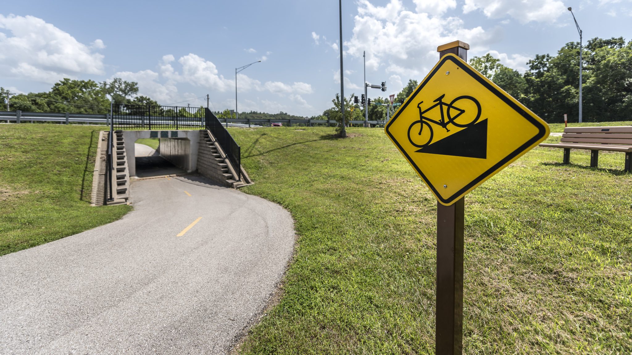
This 2.2 mile spur (paved) stretches from atop Ridge Road, 2.2 miles down the bluff where it connects to the Meramec Greenway and Al Foster Trail. If you love a hill, you will love this paved spur! You can park at Ridge Meadows Elementary School (777 Ridge Rd, Ballwin, MO 63021) and walk or ride your bike down the hill and back for a round trip of 4.4 miles. Once you reach the bottom of the trail, you can also connect to the Al Foster Trail.
One word of caution: if you are pushing a stroller, or riding with younger children—the trip back up the hill may not be as much fun! Another option is to connect to the Rock Hollow trail via the Al Foster trail. Park at the trailhead (225 Grand Ave, Wildwood, MO 63038) and walk one mile on the Al Foster Trail to its connection with the Rock Hollow Trail.
 Al Foster Trail (5.5 miles)
The Al Foster Trail lies within the Meramec Greenway and stretches from the trailhead on Grand Avenue near the intersection of Old State road and Highway 109 by the Wabash, Frisco and Pacific miniature railroad to Sherman Beach. It offers amazing view of the Meramec River and soaring limestone bluffs. Please note that the trail surface for the first 3 miles from Glencoe to Sherman beach is made of compacted rock. As it nears Castlewood Park, it transitions from rock to dirt and narrows significantly. If you are on a bike you will need to turn around at Sherman Beach. You can use a road bike on the Al Foster Trail (with narrower tires), just be careful after it rains and use caution when crossing the Wabash, Frisco and Pacific railroad tracks. A complete trail washout has occurred at the Castlewood Narrows section of the trail within Castlewood State Park. Choose your shoes accordingly!
Western Greenway: Rockwoods Reservation to Meramec Greenway (1.6 miles)
There is a 1.6 mile asphalt trail that currently extends from Grand Avenue between Glencoe City Park (421 Grand Avenue, Glencoe, MO 63038) and the Al Foster Trail head to Rockwoods Reservation.
Also known as the Hamilton Carr Trail, it features two tunnels; one under Old State road and the other under Highway 109. This makes it much safer to cross these busy roads. Once you reach Rockwoods Reservation, you can explore one of six hiking trails within this conservation area. Click here for more information about Rockwoods Reservation.
Other things to know when planning your trip:
The Trailhead and parking for both the Western Greenway and Meramec Greenway is located at 225 Grand Avenue, Wildwood, MO 63038. There are portable restrooms available at this location.
Parking is available at Glencoe City Park, 421 Grand Avenue in Glencoe. This is just .25 miles down the street from the Al Foster Trailhead.
The Wabash, Frisco and Pacific Railroad tracks run along the Al Foster Trail; the railroad operates May through October.
The area surrounding the Al Foster Memorial Trail has been designated an Important Bird Area by the National Audubon Society. Many songbird and woodland warbler species are drawn to nest and feed in the secluded forest habitat.
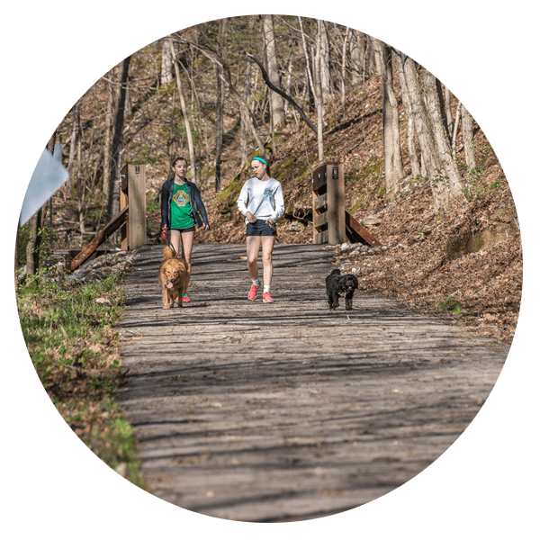
Pets are welcome but must be kept on a leash.