Project Overview:
This is the third of three projects that will close the gap between the northern and southern sections of the existing St. Vincent Greenway.
Project Location:
At its southern end, this 1.69 mile greenway segment starts at the former Eskridge High School site at the corner of Sutter Ave and Plymouth Ave. It runs through the residential neighborhood just south of Page Ave before turning north on Kingsland Ave and then west along Page Ave through the Pagedale Town Center developments. At Ferguson Ave, the greenway heads north until City Hall, where it will run through the City’s recreational fields before heading up 70th St and connecting into St. Charles Rock Road.
Project Partners:
- Great Rivers Greenway
- City of Pagedale
- St. Louis County Department of Transportation
- Beyond Housing
- Community Impact Network
Project Status

Thanks to the input and feedback from the Pagedale community, we identified the route for the greenway from the former Eskridge High School site to St. Charles Rock Road in 2019 and early 2020. We are working through the design phase to develop technical construction documents for construction to begin in 2024. This project has been awarded $5.25 million in federal funds and will be completed in partnership with St. Louis County Department of Transportation and Missouri Department of Transportation.
SUBSCRIBE TO UPDATES ABOUT THIS PROJECT
Complete the form below and we will send you updates about this project.
ABOUT THIS PLACE
Did you know that this section of the St. Vincent Greenway will connect to regionally significant places such as the Whitney Avenue historic African-American community? What stories do you know about this place? Share them at www.GreatRiversGreenway.org/ShareYourStory or by calling 314-932-4904.
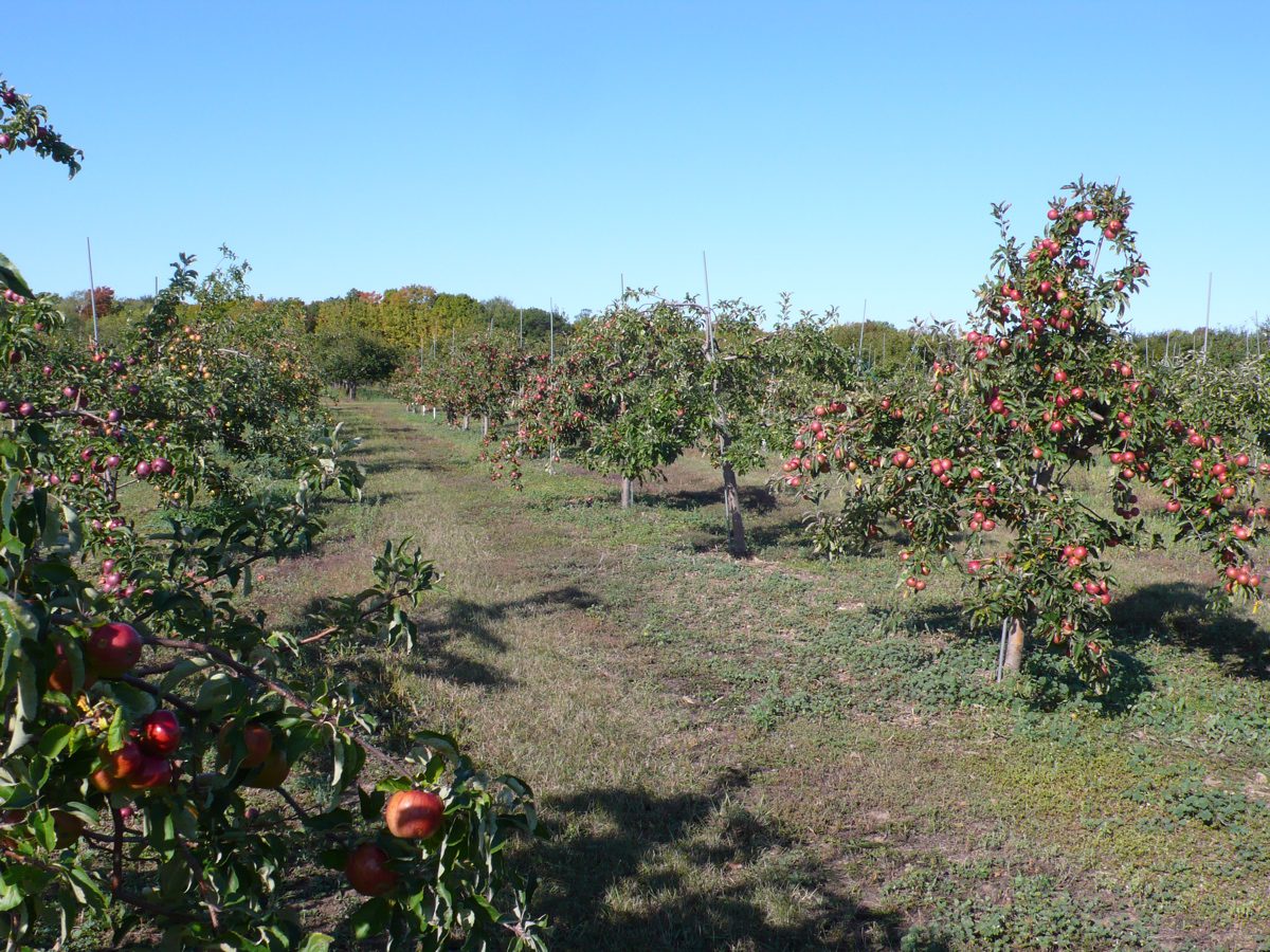
Natural and built features impact our past, present, and future. The fertile soil and healthy habitats in this area between the River des Peres and Engelholm Creek made it an ideal place for people to hunt and grow their food including orchards of apples, peaches, and pears until this became a more residential area with a network of streets and streetcar routes in the late 1800s and early 1900s.
Around 1900, a formerly enslaved man named Nicholas Craig moved to nearby Whitney Avenue between Kingsland and Sutter. Over the following decades, Whitney Avenue became home to many prominent African-American families even though gates blocked them from accessing neighboring streets. This is because Whitney Avenue was one of the few streets in St. Louis County where Black people were allowed to buy property up until the mid-twentieth century.