Gravois Greenway: Grant's Trail
Gravois Greenway (Grant's Trail): River des Peres Greenway to Holmes & Leffingwell
The Gravois Greenway (Grant’s Trail) meanders through seven municipalities and connects several parks, schools, neighborhoods, libraries, historic sites and athletic facilities. It currently extends from a trailhead at Holmes and Leffingwell avenues in Kirkwood to the River des Peres Greenway (just east of Interstate Highway 55 at River City Blvd.) in the city of St. Louis. Runners, walkers and cyclists of all ages can be found year-round enjoying this ribbon of green space linking south St. Louis County and the City of St. Louis.
Keep in mind that this greenway welcomes a lot of people –especially on a warm and sunny day. Be sure to think of other visitors when running, riding a bike or walking your dog. Keep to the right and announce your presence when passing others. Slow down, be courteous and share the greenway so everyone can enjoy the fresh air!
This greenway has a long history and many champions – check out more information on Trailnet’s website.
Read MoreAmenities
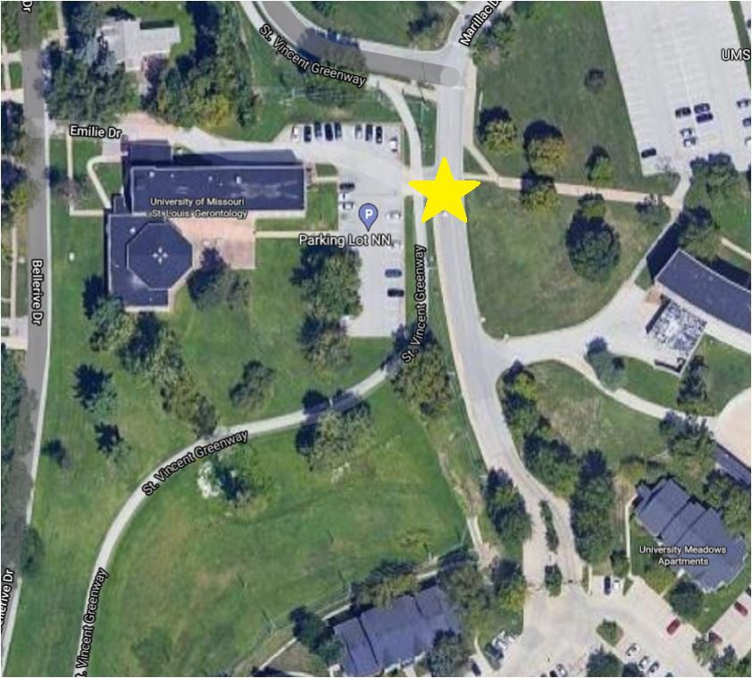
Getting Here
The trailhead at Holmes and Leffingwell is near the intersection of Big Bend Boulevard and Highway 44. The Mysun Charitable Foundation trailhead at Orlando’s is near Highway 55 and Union Road. If you live nearby, there are several ways to walk to this greenway. The recently completed 1.6 mile extension between Hoffmeister and River City Blvd. has two neighborhood connections. You can access the greenway on foot or bike (no parking) via a ramp at Bayless and Tesson Street.
Each greenway is managed in cooperation with different municipalities and parks departments, who set the rules for greenway use, parking and hours of operation. Greenways often span multiple municipalities, so please be aware that these rules can change as you travel along the trail. Please be sure to follow all posted rules and regulations while you are living life outside!
Click one of the buttons below to plan your route with Google Maps.
Plan Your Route
Kirkwood Trailhead at Holmes & Leffingwell Oakland Trailhead at Holmes & Melshire Sappington House Watson Industrial Park (adjacent to Crestwood Public Works Facility) Pardee Lane in Crestwood (just off Watson, across from Public Storage) Tesshire Trailhead (Norrenbern's Lumber and Hardware) Tiffany Village Trailhead Officer Blake C. Snyder Memorial Park Green Park & Union Rds Mysun Charitable Foundation Trailhead at Orlando'sThis trail is easily accessible via Bike St. Louis in Kirkwood on Holmes Avenue.
You can access this greenway from buses #58X and #56 on Big Bend Blvd. You can also ride the #21 bus to Watson Road, #110 to Gravois Road, #46 to Tesson Ferry Road or #17 to Union and Green Park.
This trail is accessible from the Shrewsbury MetroLink Station via the MO 21 Watson MetroBus. Exit at Crestwood Applebee’s. You can also take the River des Peres Greenway from the Shrewsbury MetroLink to connect to the greenway.
There are several designated parking lots for this trail. Be sure to park only in these designated parking lots. See directions above.
Things To Do
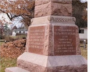
explore history
You can explore history at Ulysses S. Grant National Historic Site and The Sappington House Museum.
dine
There are a few restaurants directly connected to the trail, such as Applebee’s in Crestwood and The Barn at Sappington House, which is open for breakfast and lunch Tuesday through Sunday.
swim
You can swim in Whitecliff Park in Crestwood. Checkout the City of Crestwood website for more details.
wildlife
You can explore the wildlife at Grant’s Farm or even spot a Clydesdale from the trail!
grill
You can grill out on the grills located in Whitecliff Park in Crestwood and in Blake C. Snyder Memorial Park (formerly Clydesdale Park).
play
You can visit Grant’s Farm, open from May until October (daily during the summer). Admission is free if you ride your bike or walk via Grant’s Trail! You can play at Backstoppers Park near the Holmes Street trailhead and in Whitecliff Park in Crestwood. You can also play on the playground at Blake C. Snyder Memorial Park (formerly Clydesdale Park).
Trail Info
11.47 Miles
This greenway includes an 11.5-mile paved trail that is mostly flat and sunny. There are also some shady spots near Orlando Gardens as well as through Blake C. Snyder Memorial Park (formerly Clydesdale Park). There is a boardwalk and restored wetland at Hoffmeister along with a recycling hub adjacent to the Republic Services Recycling Facility on Bayless. You can drop your paper, glass or plastic directly into the recycling stream!
If you walk or ride your bike to Grant’s Farm, you’ll avoid the traffic and won’t have to pay to park! There are bike racks on the south side of Grant’s Farm parking lot, directly off the trail.
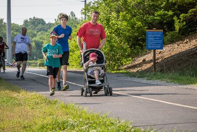
a popular trail for families, friends, and all people
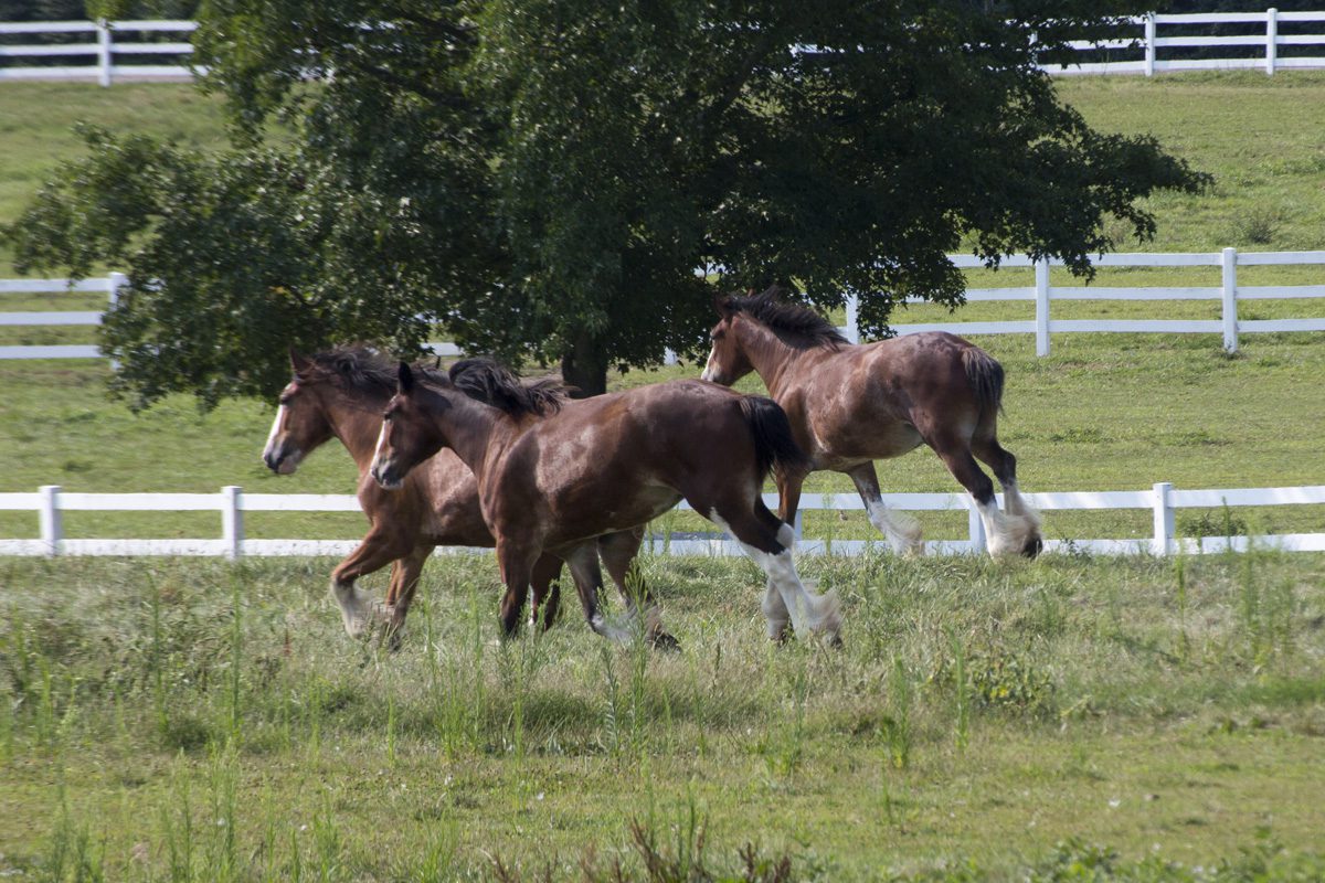
Spot a Clydesdale
Blake C. Snyder Park Connector.
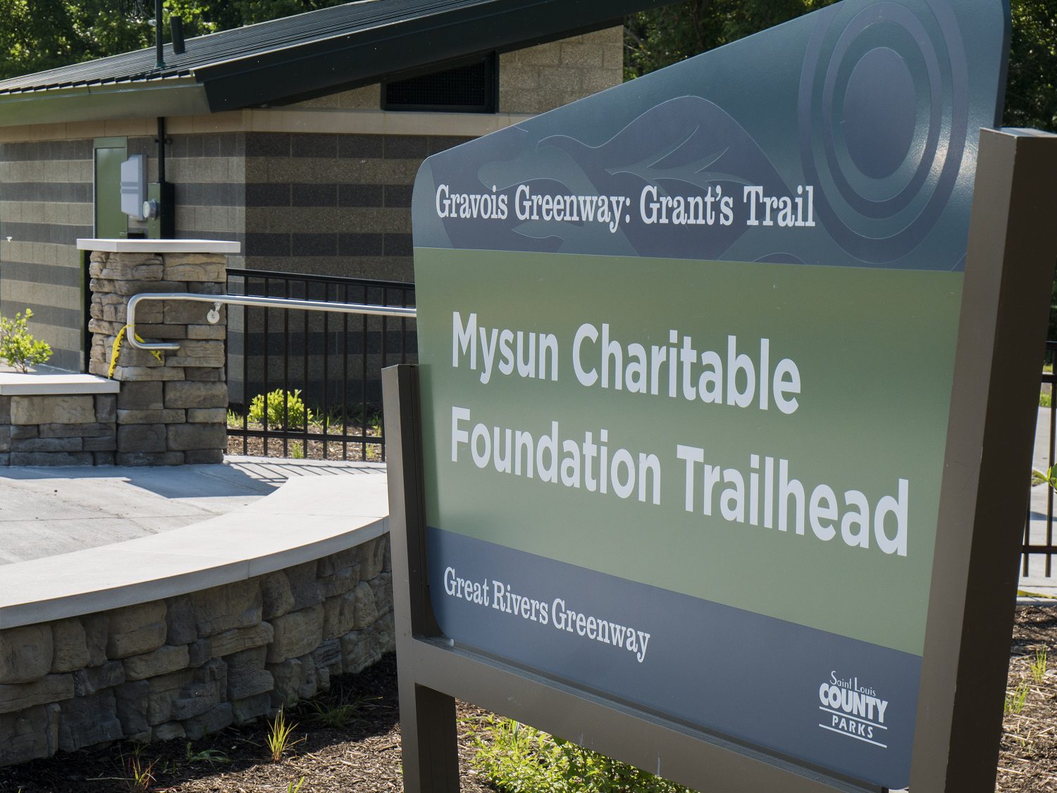
The Mysun Charitable Foundation Trailhead near Orlando's.
An overgrown industrial lot has been transformed back into a wetland.
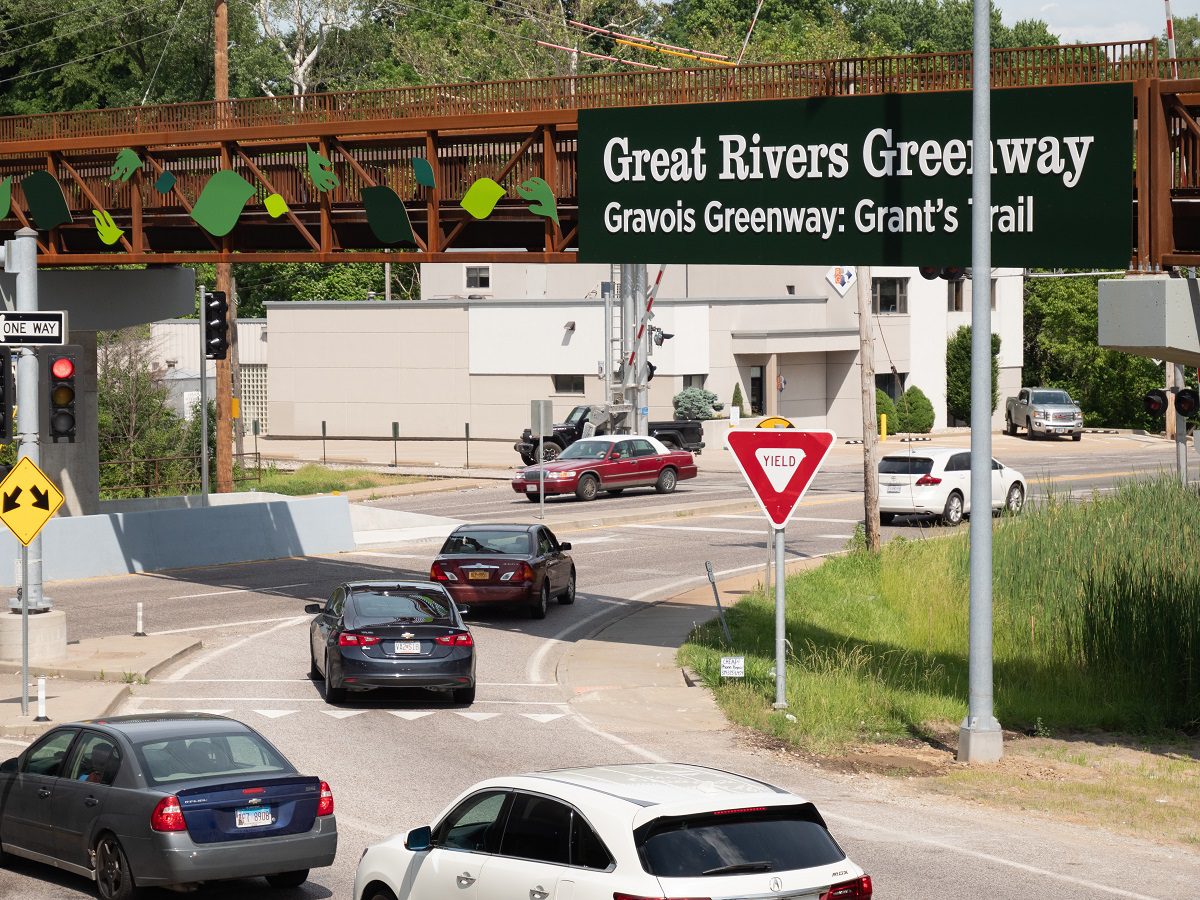
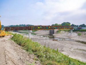
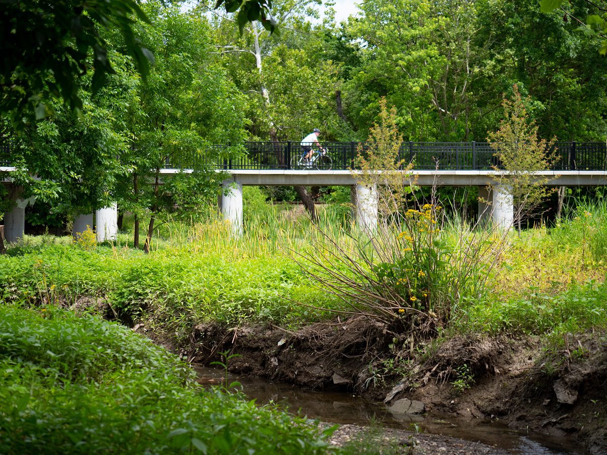
A 600 foot bridge provides a seamless connection over Bayless Ave., keeping greenway visitors separate from the busy intersection below.