Overview of the project, video from January 2024:
Project Overview
The Hodiamont Tracks were once the route of a streetcar line and in later years a bus route. While the bus route is no longer active, the 3.5 mile corridor has the potential to become a greenway that would link the St. Vincent and the future Brickline Greenways.
Project Location

The tracks start on Enright Avenue, one block west of Vandeventer in the Grand Center Arts District and continue west 3.5 miles connecting the Vandeventer, Lewis Place, Fountain Park, Academy/Sherman Park, Visitation Park and West End neighborhoods in the City of St. Louis to Gwen Giles Park at the city limit. In addition to connecting to existing and future greenways, it would link numerous schools, parks, houses of worship and neighborhoods.
Project Partners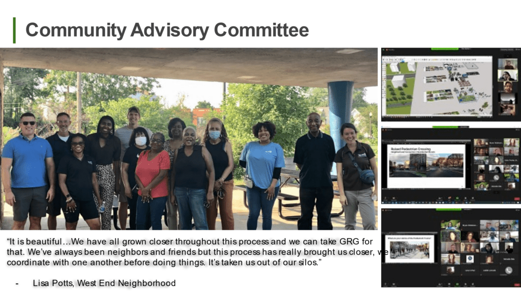

- Community members in West End, Visitation Park, Academy/Sherman Park, Fountain Park, Lewis Place Vandeventer and Covenant Blu/Grand Center neighborhoods (21 people from each of the seven neighborhoods were selected from a pool of 70 applicants to create an advisory committee. These neighbors met six times during the pandemic to help guide the planning process.)
- Great Rivers Greenway
- Bi-State Development Agency
- City of St. Louis
Current Status
This project is currently in the early planning and design phase.
Greenway Concept Plan
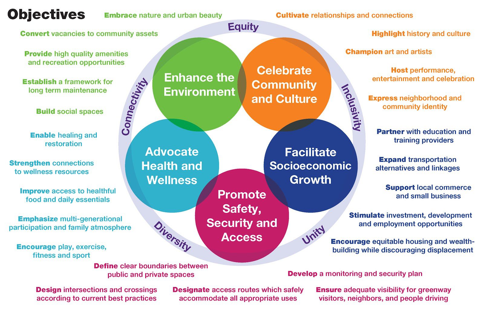
Throughout 2020-21, Great Rivers Greenway and community members worked together to create a conceptual greenway plan (“concept plan”) for the Greenway on the Tracks. The Concept Plan Process identified project goals that are being used to drive design. View the principles, goals and objectives that are being used to drive design.
Click here to view the concept plan for the Greenway on the Tracks (large file size).
Watch the video to learn more about the concept plan:
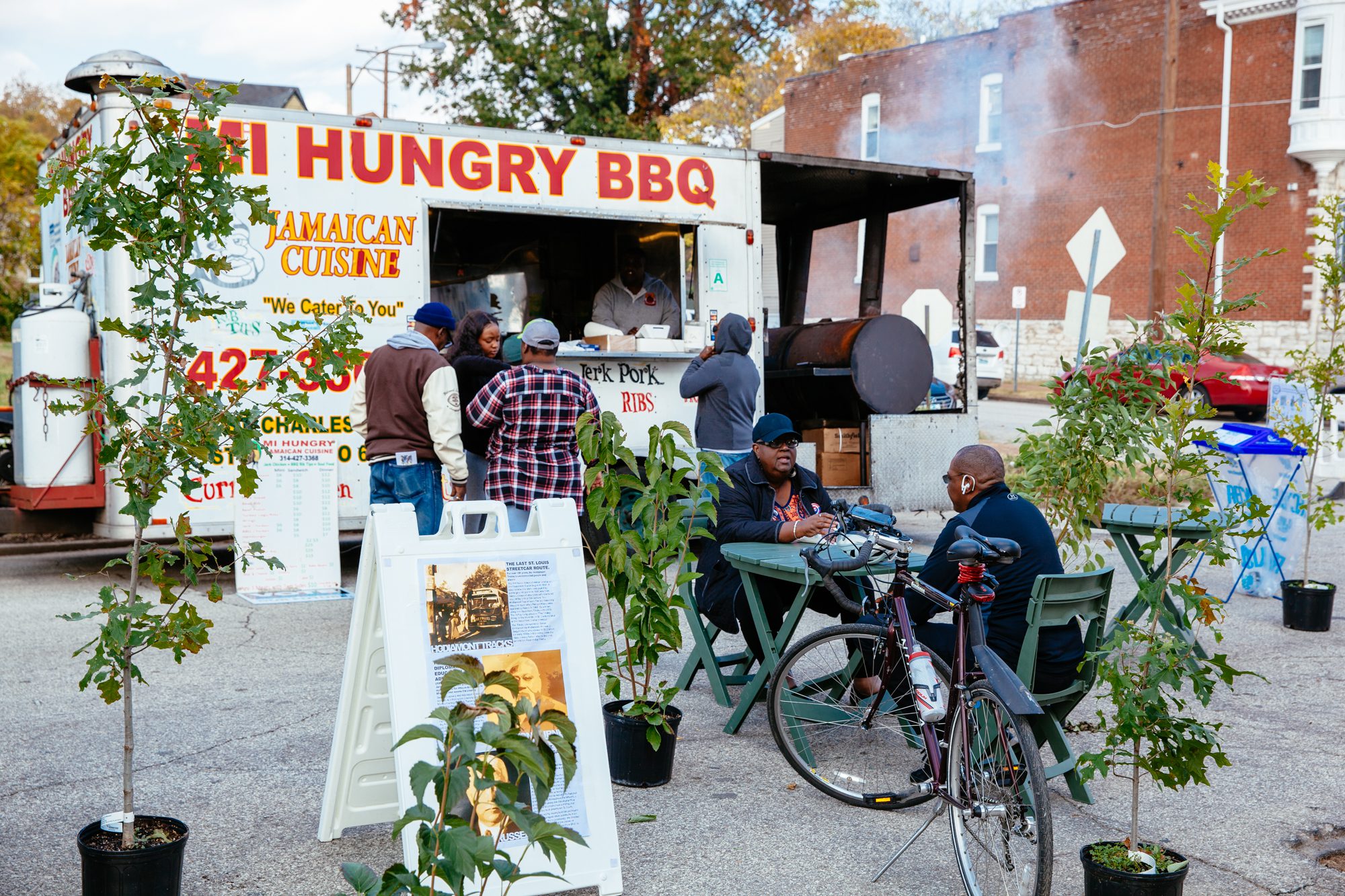
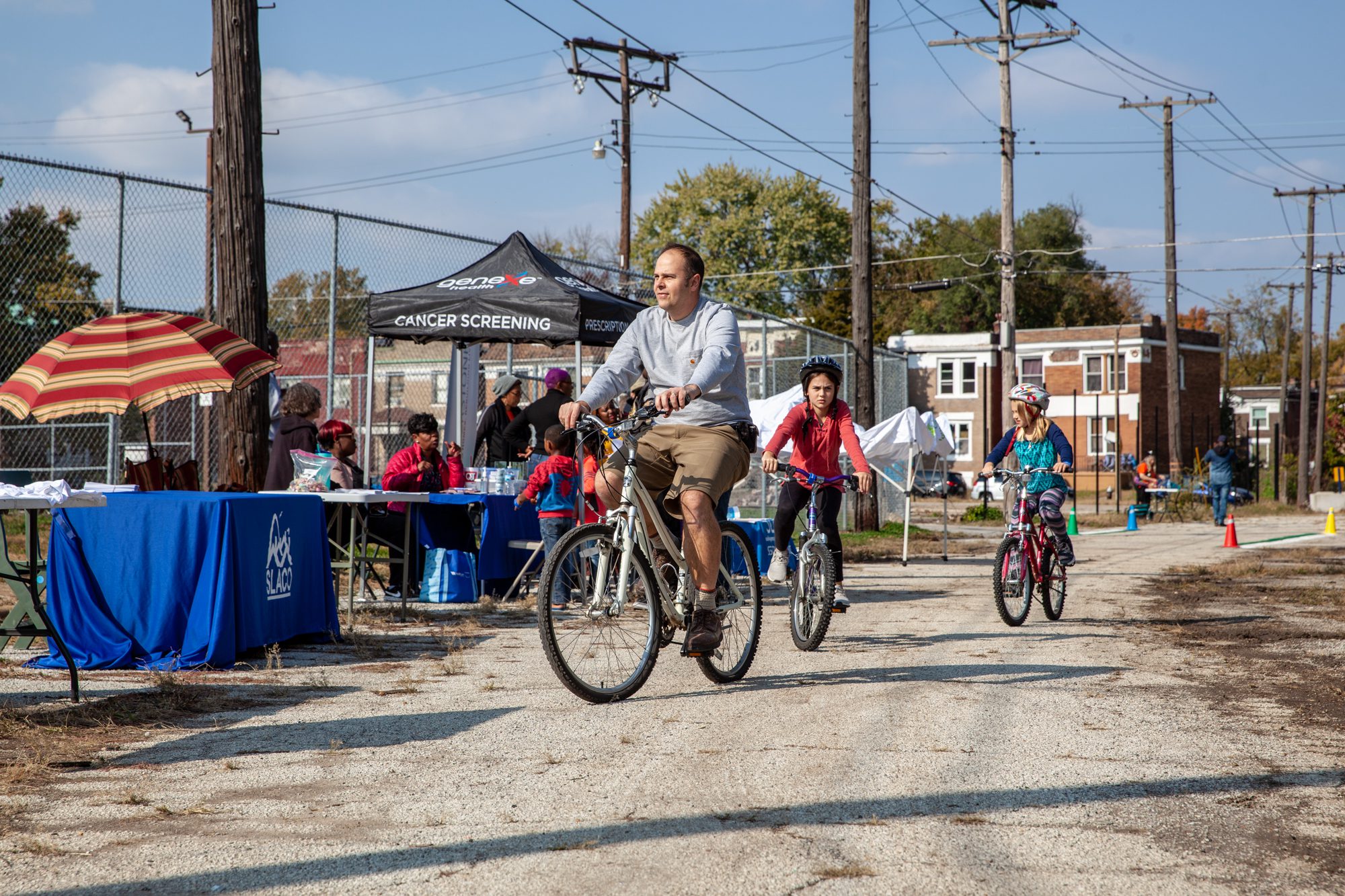
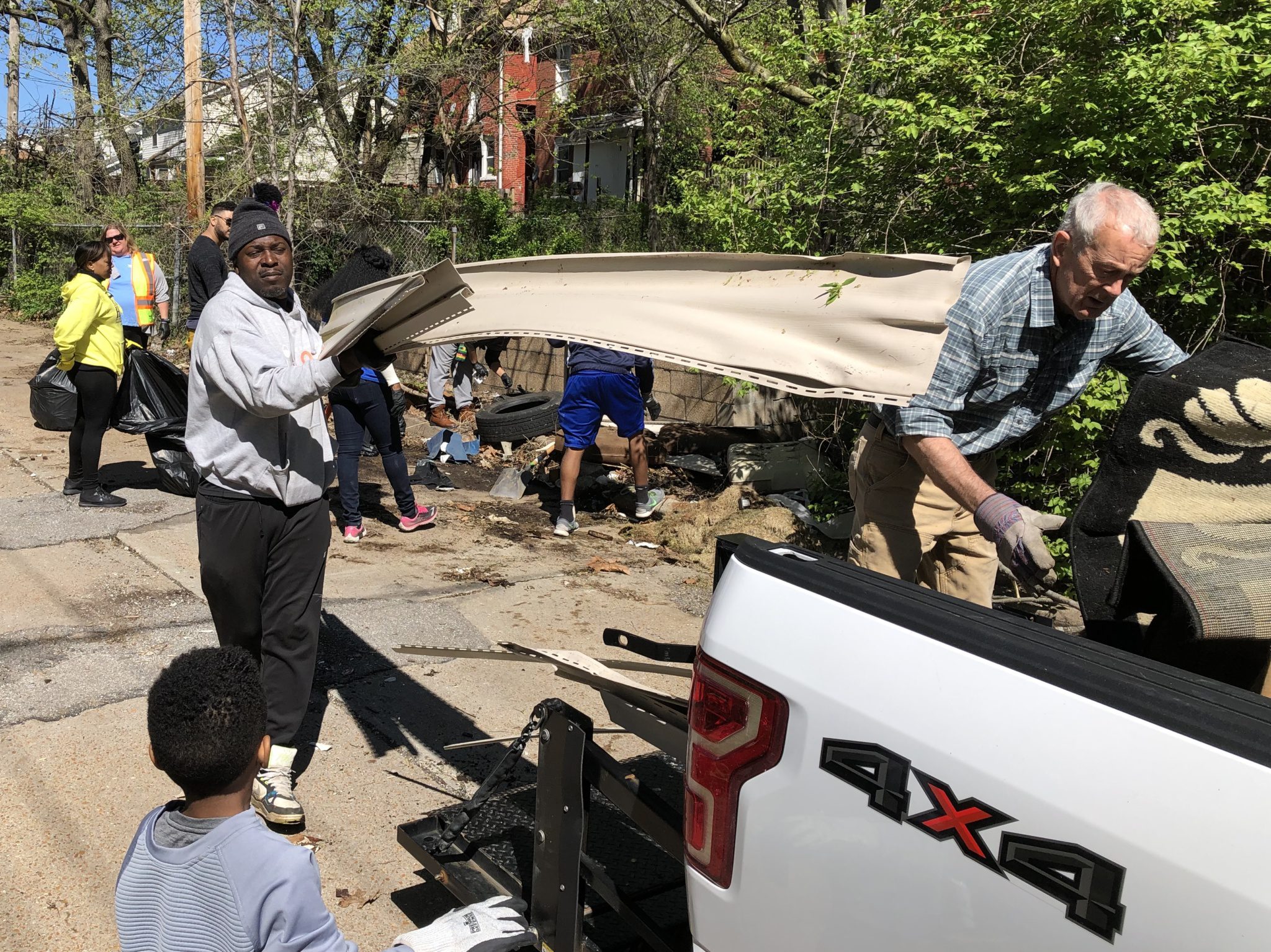
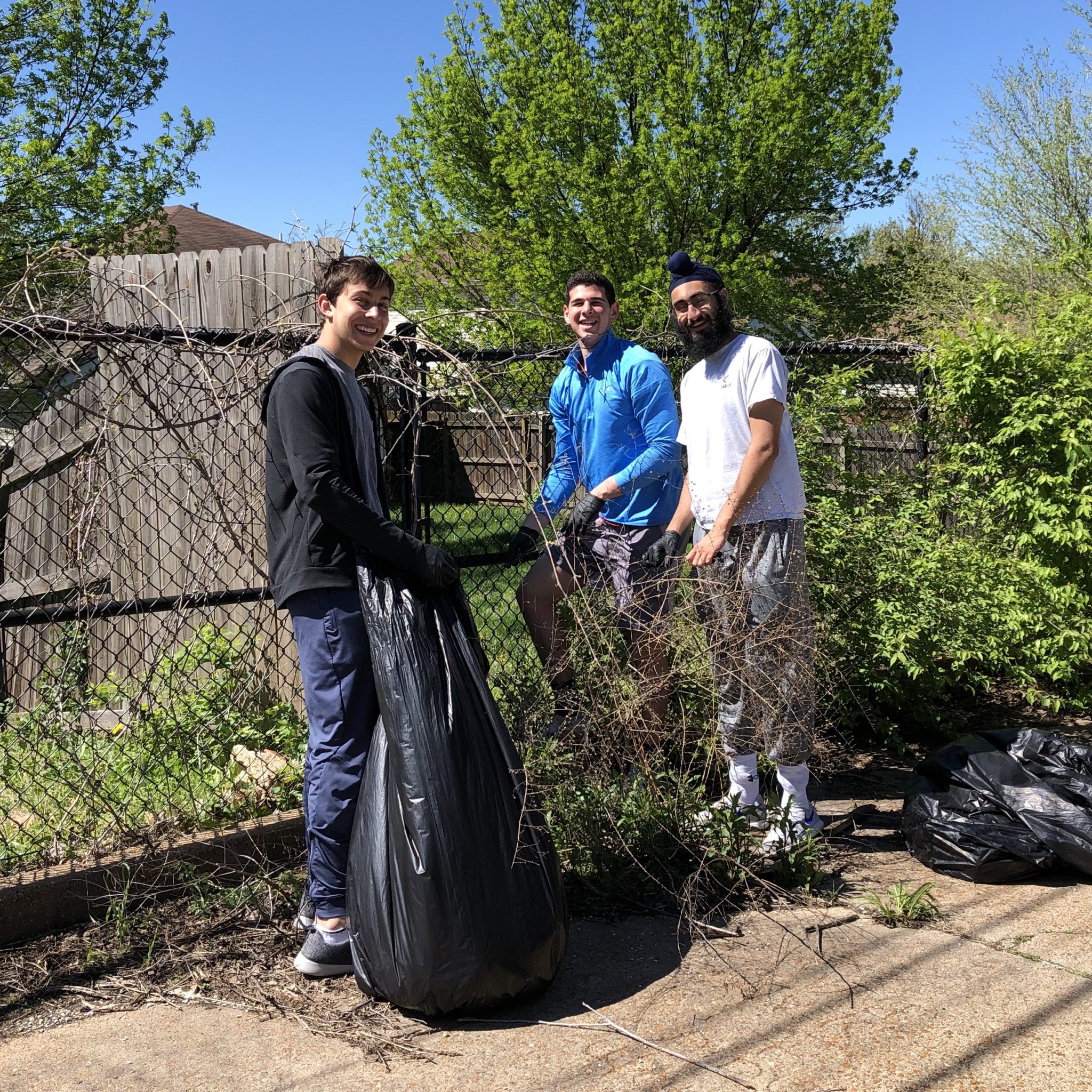
Community Engagement
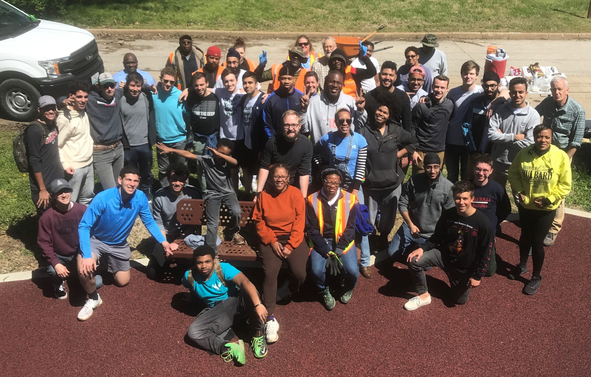
Community engagement is critical to the design process to make sure the community drives design. Thanks to everyone who has participated to date! Since this project was launched in 2018, we have engaged with the community in the surrounding neighborhoods in the following ways:
- listening tours
- pop up office hours
- trash bash
- volunteer events
- public meetings.
What we’ve heard:
From door-to-door conversations with neighbors of the Hodiamont Tracks in 2018 asking if they would like a greenway in this space to community meetings in 2019 to hear greenway desires and concerns to office hours on the Hodiamont Tracks in 2020, community members continue to share your hopes and dreams for the future greenway on the Hodiamont Tracks. Click here to view notes from these community conversations.
Watch a Recording of the Virtual Public Meetings for the Concept Plan for the Greenway on the Tracks
Click here to watch a video of the public meeting on November 2, 2021.
Click here to watch a video of the public meeting on November 3, 2021.
Watch A Recording of the Greenway Plan Kickoff Meeting
Click here to watch a video of the kickoff meeting with community members in August 2020.
Click here to watch a video of the kickoff meeting with technical partners in October 2020.
Get Involved
Sign up to receive email or text message updates on the Greenway on the Tracks.
Share Your Greenway Story
Share your stories of the Hodiamont Tracks! Greenway stories are shared through art and signs, tours, digital content, outreach, and community events. These greenway stories are organized around themes of nature, culture, and history. Share your greenway story by visiting www.GreatRiversGreenway.org/ShareYourStory or recording your story at 314-932-4904.
Name this Greenway!
What should this greenway be called? While this corridor has been called the Hodiamont Tracks for many years, you can determine a name that reflects the stories, history and priorities of the community.
Greenway on Hodiamont Tracks Feedback
Scroll down for answers to frequently asked questions about planning a greenway on the Hodiamont Tracks.
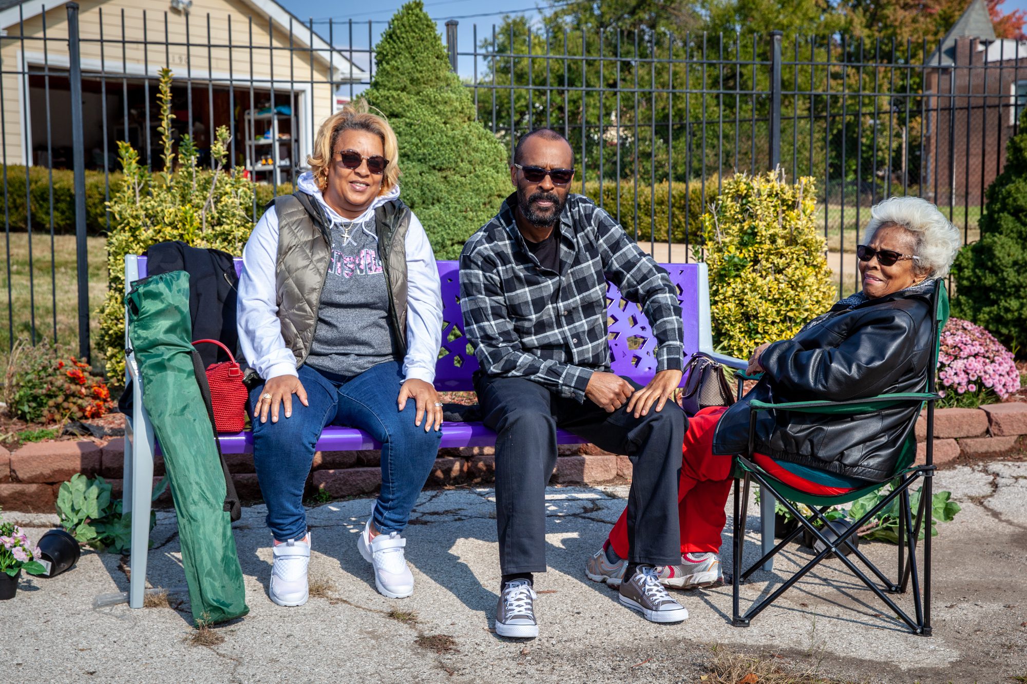
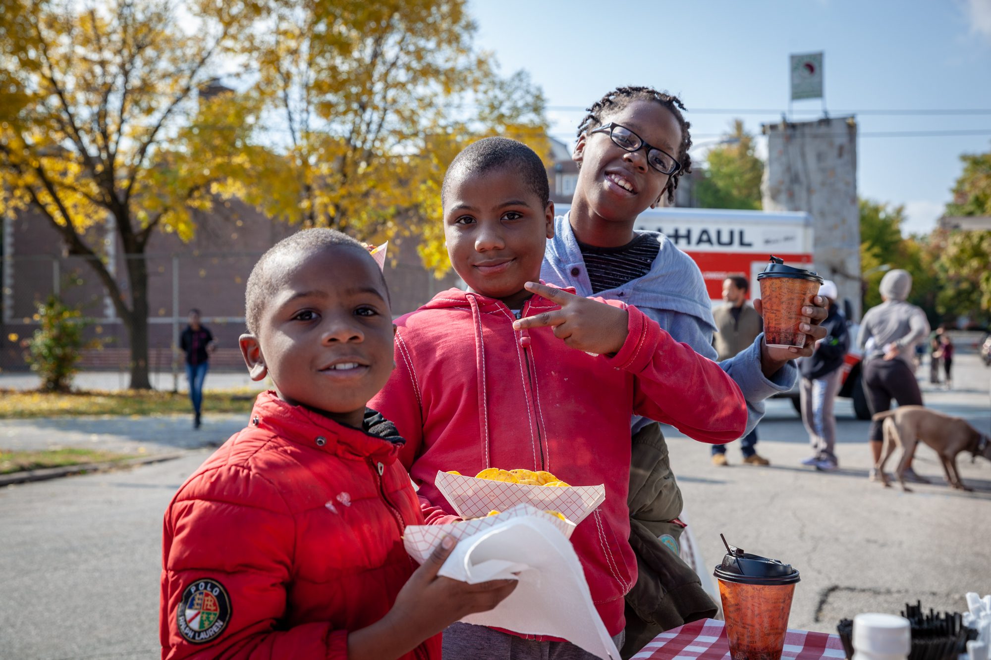
Gallery
|
|
|
|
|
|
|
|
|
|

FAQ
- What is a greenway?
- Greenways are landscaped paths that connect people and places. Greenways provide connections to schools, transit, businesses, and neighborhoods. Greenways reflect the character of the communities they connect and can include trails, nature-based solutions to restore native habitats and manage stormwater, and amenities like benches, wayfinding signs, and drinking fountains, People can walk, jog, ride a bike, have a picnic, push a stroller, or simply enjoy nature along a greenway.
- Who is expected to maintain the greenway?
- Great Rivers Greenway has operations and maintenance agreements with the public agencies that own the land where the greenways are built. In addition, some maintenance is performed by volunteers and some by paid workers.
- Will land or property be taken for this project?
- No, Great Rivers Greenway does not use eminent domain. The area where the greenway will be built is owned by public agencies.
- How is the greenway being funded? How much will this cost?
- In 2000 and again in 2013, voters in St. Louis City, St. Louis County, and St. Charles County voted to use sales tax funds to build, promote, and sustain greenways. The Great Rivers Greenway Foundation secures private donations and grants to leverage the sales tax funds. Great Rivers Greenway is currently funding the planning and design of the greenway on the Hodiamont Tracks. Additional funding sources may be used to fund the construction and maintenance in the future. The project cost is not yet known. The cost will be estimated as the greenway is designed.
- How will safety and security be addressed?
- As planning continues, the project team will ask community members for ideas for safety features which can be incorporated into the design of the greenway. These ideas will be built on what neighbors said in 2018 about what would make them feel safe and secure when using the greenway. Great Rivers Greenway also works to ensure sight lines are clear and hiding spots are avoided along greenways. Local neighborhood groups and non-profit organizations provide programming to increase visibility along the greenway.
- What neighborhoods will the greenway connect?
- When complete, the Greenway on the Tracks will span the east-west length of the Hodiamont Tracks (3.5 miles) connecting seven neighborhoods from east to west: Covenant Blu/Grand Center, Vandeventer, Lewis Place, Fountain Park, Academy/Sherman Park, Visitation Park, and the West End.
- How will this affect me as a homeowner?
- Research has shown that greenways make areas more desirable. The project team especially wants to hear from homeowners living directly adjacent to the Hodiamont Tracks. Connect with a member of the project team here.
- Why was this location chosen for a greenway?
- The Hodiamont Tracks were once a streetcar route then a bus route and now mostly an alley. The City of St. Louis and BiState Development Agency wanted to identify alternative uses for this space. Community members told the project team that many areas along the Hodiamont Tracks allow space for negative activities such as illegal dumping, violent crime, and sale or use of drugs. In 2018, Great Rivers Greenway asked the community along the Hodiamont Tracks if they would like the area to be transformed into a greenway. 95% of community members said “Yes!”.
- Who will have access to this greenway?
- Greenways are open to all people for walking, biking, running, pushing a stroller, or using a wheelchair. Greenways are not open to motor vehicles. Community members will be able to use the greenway to explore and to travel to different neighborhoods. Visitors to the community will have an opportunity to explore new neighborhoods via the greenway. Some neighbors access their homes from the Hodiamont Tracks. In these areas, the space along the tracks is very wide and can be designed to create separate space for people on the greenway and trash/recycling trucks or people driving to access the back of their homes.
- When will the greenway be built?
- Building a greenway is a multi-year process. The project is now in the planning phase. From this community-driven plan, the project team will identify multiple phases to move into design and then construction.
- What will this greenway be called?
- We don’t know yet! That will be determined with community input as the project progresses.