Deer Creek Greenway
Deer Creek Park to Lorraine Davis Park
The sidewalk on Brentwood Blvd. between Marshall Avenue and the new Brentwood Park is CLOSED to accommodate construction of the Deer Creek Greenway connector. Crews are building a new paved greenway along the east side of Brentwood Blvd. and also adding an extension to the side of the bridge over Deer Creek to allow for a wider path. Work is expected to be complete in December 2024.
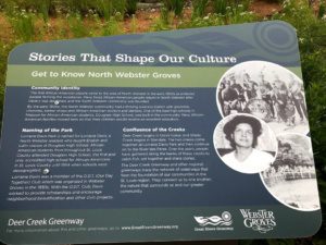
This greenway is nestled between the cities of Maplewood, Brentwood and Webster Groves. It parallels Deer Creek and links together parks, businesses, neighborhoods and green space in the area surrounding the confluence of Deer and Shady Creeks.
Click here to download a printable Greenway Info Guide for the Deer Creek Greenway: Deer Creek Park to Lorraine Davis Park.
Amenities
Getting Here
The trailhead in Deer Creek Park is located just south of the intersection of Manchester Road and South Hanley Road. If you live nearby, you may be able to walk to this greenway. You can also park in Barnickel Park or at the Marshall Avenue Trailhead.
Each greenway is managed in cooperation with different municipalities and parks departments, who set the rules for greenway use, parking and hours of operation. Greenways often span multiple municipalities, so please be aware that these rules can change as you travel along the trail. Please be sure to follow all posted rules and regulations while you are living life outside!
Click one of the buttons below to plan your route with Google Maps.
You can access Deer Creek Greenway by riding on the shared traffic lanes heading South on Sutton Boulevard then West on Greenwood Boulevard and south again on Sussex Avenue. You then head West on Oxford Boulevard and the trailhead is located on the west side of Big Bend Boulevard.
You can take bus #68 to Deer Creek Greenway at Big Bend Blvd. and Oxford. Note: Deer Creek Park is on Laclede Station Rd. (The trailhead is at Big Bend near Oxford.)
You can access the Deer Creek Greenway from the Sunnen Station.
You can park in Deer Creek Park in Maplewood. You can also park in the Marshall Avenue Trailhead, just east Brentwood Blvd. on Marshall Avenue or Barnickel Park at the intersection of North Forest and Bompart Avenues.
Things To Do
grill
You can grill out on the grills located throughout Deer Creek Park.
play
You can play on the spaceship themed playground or on the many athletic fields located in Deer Creek Park. There is a new pump track for riding bikes at the trailhead on Marshall Avenue. You can play on the playground and basketball court in Barnickel Park.
Trail Info
3.35 Miles
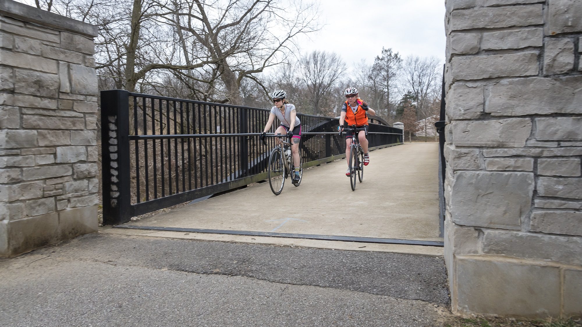
This paved asphalt trail extends 3.35 miles between Deer Creek Shopping Center at Big Bend Avenue through Deer Creek Park in Webster Groves and Maplewood to Lorraine Davis Park in Webster Groves. It links four parks and offers a direct connection to the stores in Deer Creek Center. It is not typically very crowded, making this a great place for youngsters to learn how to ride a bike! There is also a new segment in Brentwood’s new Brentwood Park off Brentwood Boulevard. There is a 1.4 mile paved path in this park that stretches from Brentwood Blvd. to the intersection of Laclede Station/Hanley and Manchester Rd, near the Maplewood MetroLink Station. There is also a new underpass beneath Manchester Road that connects you to Brentwood community trails. Plans are underway to connect the new Brentwood section via a new paved path along Brentwood Blvd. from Marshall Ave to the new park near Brazeau Ave.
bike paths connecting parks, businesses, neighborhoods and green space in the area surrounding the confluence of Deer and Shady Creeks
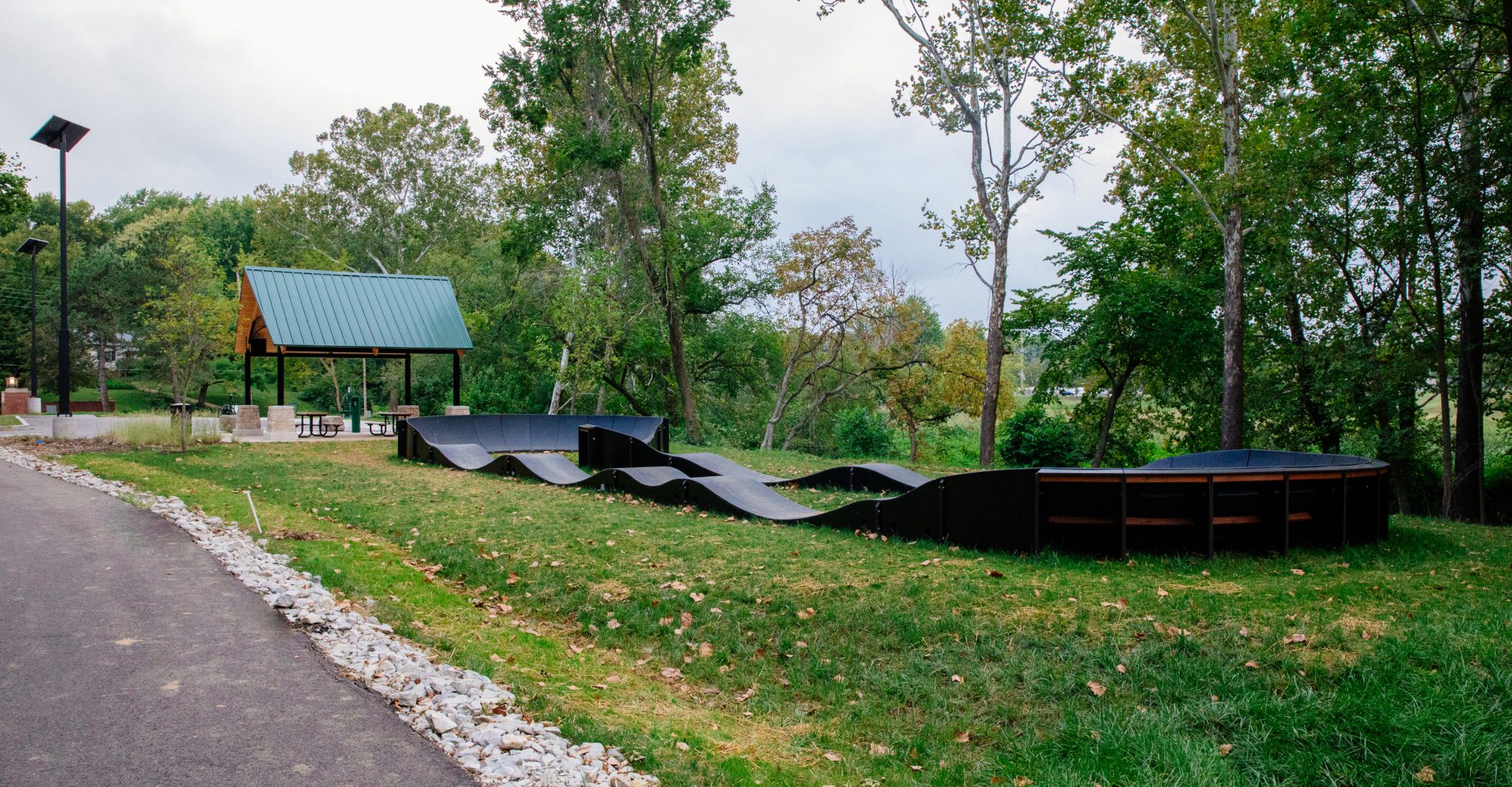
"pump track" at Marshall Road trailhead
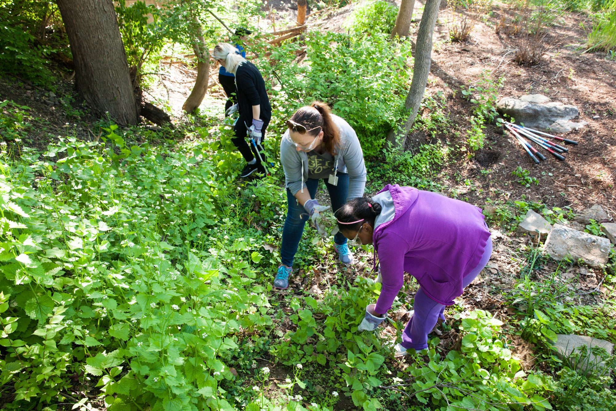
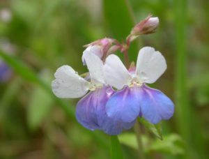
well-maintained green spaces
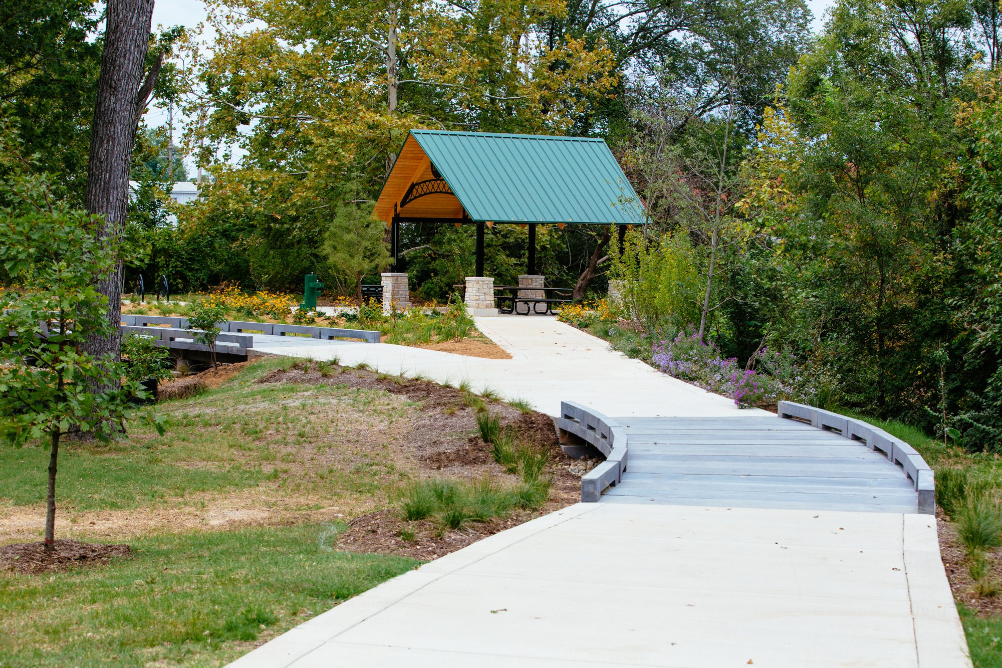
pavilion at Lorraine Davis park; overlooks confluence of Deer & Shady Creeks