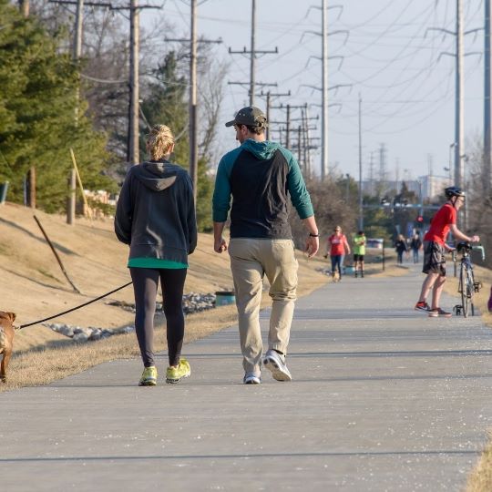
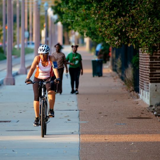
Get out on a greenway to celebrate 3.14 Day! We’ve plotted out seven 3.14 mile routes on greenways across St. Louis City, St. Louis County and St. Charles County. Follow one of our suggested routes, or make up your own- you’ve got 135+miles of greenway to choose from!
3.14 Mile Walks & Rides on Greenways
Posted on
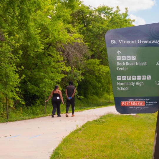
St. Vincent Greenway: St. Vincent Park to Rock Road Transit Center
Start your walk by the tennis courts and playground in St. Vincent County Park. Follow the greenway south through the park; the Daughters of Charity Cemetery will be on your left. Continue walking or riding on the greenway through the woods (Check out the progress on our woodland restoration!) You will pass by Castle Park Apartments (the former St. Vincent Hospital.) Continue south on the greenway, parallel to St. Vincent Park Road where you will connect with the new section opened in 2023. Follow the greenway out to St. Charles Rock Road towards the Rock Road Transit Center. Turn around at the Rock Road Transit Center and head back to where you started! (Plan your trip here. You can find a printable adventure map with more information about St. Vincent County Park here.)
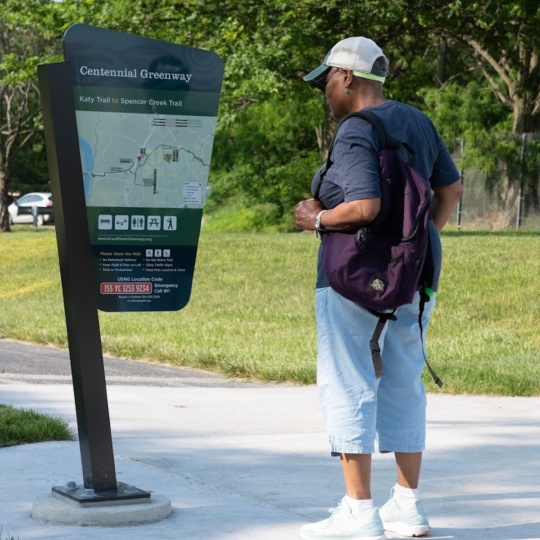
Centennial Greenway: St. Charles County Heritage Museum to Schaefer Park
Start your walk at the St. Charles County Heritage Museum. Follow the greenway to where it spurs north to cross over highways 364 and 94. Follow the greenway to N. Outer Road. Use the crosswalk to cross over to the new stretch of this greenway that opened in 2023 and follow the signs to Schaefer Park. Take a stroll around Schaefer Park and then turn around and head back to the Heritage Museum! Plan your trip here.
Busch Greenway: Duckett Creek Trailhead to KATY Trail
Begin your walk at the Duckett Creek Trailhead in Missouri Research Park. Follow the greenway towards the KATY Trail. When you reach the KATY Trail go left; follow the KATY Trail until you reach the path that connects to the walking and biking path on the Boone Bridge. Turn around and head back to Duckett Creek Trailhead. Plan your trip here.
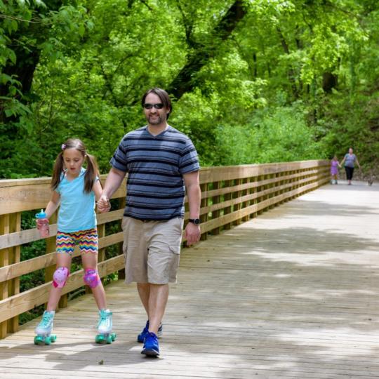
Centennial Greenway: Shaw Park to Old Bonhomme
Start your walk at the Shaw Park Trailhead. Follow the greenway until you reach Old Bonhomme Road. Turn around and head back to the Shaw Park Trailhead. Plan your trip here.
St. Vincent Greenway: Missouri History Museum to Etzel
Begin your walk at the Missouri History Museum at Forest Park- walk around the museum and then cross over Lindell at the traffic light on the east side of the museum. Follow the greenway all the way to Etzel Ave. Turn around and head back to the History Museum. Plan your trip here.
Mississippi Greenway at Cliff Cave Park
Begin your walk at the Trailhead in the upper section of the park on Cliff Cave Road. Follow the greenway down the hill to the overlook and check out the amazing view! Walk back up the hill from overlook and take a left to follow the paved greenway to the lower section of the park. After you cross the bridge over cliff Cave Road, take a left. You will continue downhill, passing by the mouth of the cave! Continue on the greenway down the hill towards the River. Cross the railroad tracks and go left to follow the loop trail. Once you make the loop take a left and walk towards the large pavilion by the river. Enjoy the river view and then reverse your route and go back up to where you started! Plan your trip here.

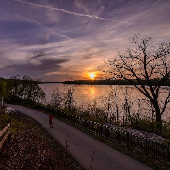
Sunset Greenway at Sunset Park
Start your walk or ride in Sunset Park. Follow the paved greenway down the hill, all the way down to the river, where the paved trail ends. Enjoy the view of the Missouri River! Head back up to the parking lot and follow the paved path along Sunset Park Drive until you reach Hazelwood Northwest Middle School. Turn around and head back to the parking lot in Sunset Park for a 3.14 mile walk! Plan your trip here.