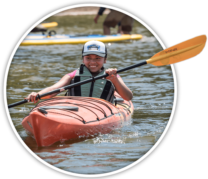
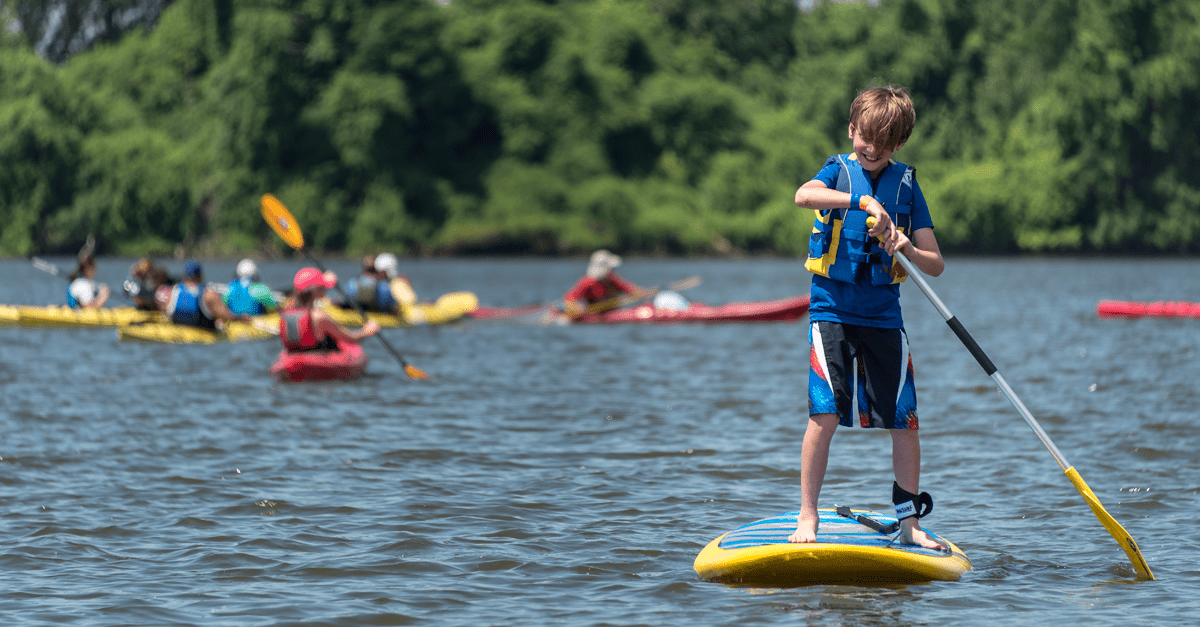
 Whether canoeing, kayaking, or stand up paddleboarding, paddling our region’s waterways can be a great way to explore and enjoy the outdoors and live life outside.
Along the greenways, there are opportunities at Creve Coeur Lake, Simpson Lake, and the Meramec River for people of varying paddling abilities to explore and enjoy our waterways. The Missouri and Mississippi Rivers can be great places to paddle if you have the necessary equipment and training. Only advanced paddlers should attempt paddling on the Missouri or Mississippi Rivers. There are several area organizations that would love to assist you to get on the larger rivers like the Missouri or Mississippi. Contact a local paddling organization to get the equipment and training that you will need on a larger river. See Additional Paddling Resources at the bottom of this page for more information.
Tips to Stay Safe and Enjoy Your Time On and Off the Water
- Always wear a lifejacket on the water.
- Along with your boat, your paddle, and your lifejacket, other important items to bring while paddling are a whistle attached to your lifejacket, drinking water, sunblock, food, first aid kit, a pump or bailer to get water out of your boat, rope, multitool knife, poncho or tarp, waterproof matches or windproof lighter, and a waterproof flashlight. Nearby campsites and food/supply stores are not available near St. Louis area boat ramps, so bring any supplies you will need on your paddling trip plus extra in case of any unexpected circumstances.
- Dress for the weather, possibly a drysuit or proper weight wetsuit. Pack a change of (non-cotton) clothes in a watertight bag.
- Phones drown easily. Always pack any phones, keys, or other important items in a watertight bag.
- Check current and predicted water temperature and water levels and flow when planning your paddling trip. River forecasts are available from the National Weather Service’s Advanced Hydrologic Prediction Service.
- Before going out on a paddling trip, take a class and practice forward, reverse, sweeping and stopping strokes.
- If you are paddling with a group, review signals for stopping and pointing out suggested paths or obstacles. Discuss who is carrying what – extra paddle, first aid kit, and other rescue and/or safety equipment.
- Tell someone who is not paddling with you where you will be paddling.
- Avoid paddling too close to the person in front of you while still staying close enough to the other people in your group so that you can easily communicate by voice. Use a buddy system, and take a head count each time your group gets on or off of the water.
- Only put your boat in or out of the water using boat ramps on public property or privately owned boat ramps that you have permission to use. Equipment lockers are not available at boat ramps, so bring any equipment with you that you are not able to secure.
- Anytime you’re out of the water, position your boat for a quick get-in in case you need to catch gear or rescue a swimmer.
- Canoe, kayak, and paddleboard rentals are available from several local outfitters, but transportation is not included with all rentals. Call to confirm details.
Paddling Trips
- Creve Coeur Lake on the Fee Fee Greenway – Lake circumference is 4 miles. Plan for 2 hours to paddle the lake circumference, but you can make your trip longer or shorter. Two boat ramps with adjacent parking lots are located off of Marine Ave. north of the Greensfelder Memorial Shelter. One boat ramp with an adjacent parking lot is located off of Marine Ave. in Sailboat Cove near the Tremayne Shelter.
- Simpson Lake on the Meramec Greenway – Lake circumference is 1 mile. Plan for 1 hour to paddle the lake circumference, but you can make your trip longer or shorter. Boat ramp with adjacent parking lot located off of Grand Glaze.
- Pacific Palisades Conservation Area to Allenton Access on the Meramec River – Trip length is 6.9 miles. Plan for 3.5 hours to paddle. Pacific Palisades Conservation Area boat ramp with adjacent parking lot located off of Franklin Rd. Allenton Access boat ramp with adjacent parking lot located off of Huntersford Rd.
- Allenton Access to Route 66 State Park on the Meramec River – Trip length is 6.8 miles. Plan for 3.5 hours to paddle. Allenton Access boat ramp with adjacent parking lot located off of Huntersford Rd. Route 66 State Park boat ramp with adjacent parking lot located off of S. Outer Rd.
- Route 66 State Park to Meramec Landing on the Meramec River – Trip length is 11.5 miles. Plan for 6 hours to paddle. Route 66 State Park boat ramp with adjacent parking lot located off of S. Outer Road. Meramec Landing boat ramp with adjacent parking lot located off of Cal Hedrick Way.
- Meramec Landing to Greentree Park on the Meramec River – Trip length is 1 mile. Plan for 0.5 hour to paddle. Meramec Landing boat ramp with adjacent parking lot located off of Cal Hedrick Way. Greentree Park boat ramp with adjacent parking lot located off of Marshall Rd.
- Greentree Park to Minnie Ha Ha Park on the Meramec River – Trip length is 5.9 miles. Plan for 3 hours to paddle. Greentree Park boat ramp with adjacent parking lot located off of Marshall Rd. Minnie Ha Ha Park boat ramp with adjacent parking lot located off of Old Gravois Road (no river access with motorized vehicles).
- Minnie Ha Ha Park to George Winter Park on the Meramec River – Trip length is 1 mile. Plan for 0.5 hour to paddle. Minnie Ha Ha Park boat ramp with adjacent parking lot located off of Old Gravois Road (no river access with motorized vehicles). George Winter Park boat ramp with adjacent parking lot located off of Deer Lodge Rd.
- George Winter Park to Flamm City Access on the Meramec River – Trip length is 11.6 miles. Plan for 6 hours to paddle. George Winter Park boat ramp with adjacent parking lot located off of Deer Lodge Rd. Flamm City Access boat ramp with adjacent parking lot located off of Telegraph Rd.
 Additional Paddling Resources
- Alpine Shop
- American Canoe Association
- Big Muddy Adventures
- Mississippi River Water Trail
- Missouri Canoe & Floaters Association
- Missouri Department of Conservation
- Missouri River Excursions
- Missouri River Water Trail
- Missouri Smallmouth Alliance
- Missouri Whitewater Association
- REI
- Rivergator
- St. Louis Canoe & Kayak Club
- SUP St. Louis