Master Plan
The master plan for the Missouri Greenway is a 55 mile (river mile) corridor that begins at the confluence of the Mighty Mississippi and the Missouri River and runs west to Boone’s Crossing in Chesterfield. The greenway will connect to the Mississippi Greenway, Sunset Greenway, Centennial Greenway, Fee Fee Greenway and Western Greenway; linking together the communities of Chesterfield, Maryland Heights, Bridgeton, Hazelwood, Florissant, and Spanish Lake.
Current Status
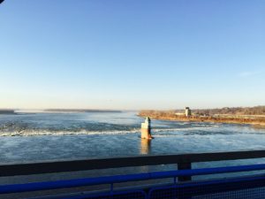
Missouri Greenway: Earth City Levee (paved) meanders through Riverwoods Park and parallels the Earth City levee to Highway 370. A portion of the greenway adjacent to the river was washed out in the spring 2019 floods, so it is not a full loop through the park at this time. You can still see enjoy views of the river and Historic downtown St. Charles.
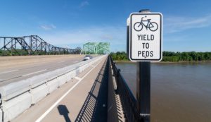
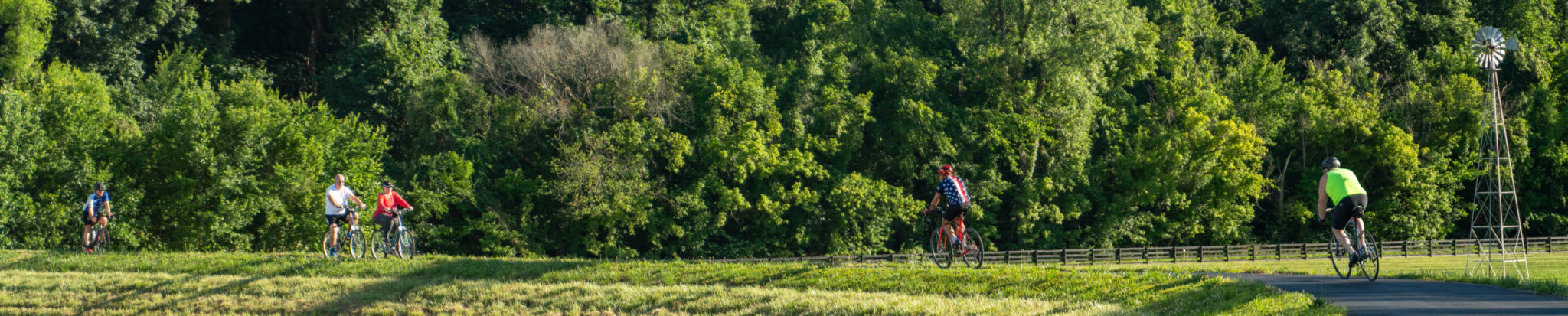
The Missouri Greenway: Monarch Chesterfield Levee offers three segments which will eventually connect for a 17-mile loop. There are 10.6 miles of trail built in this greenway to date. A 5.6-mile segment is now complete from the TopGolf complex to the Chesterfield Valley Athletic Club and over the Missouri River connecting with the Katy Trail and the Busch Greenway. You can also follow the greenway in the other direction 3 miles to Centaur Road. A 2-mile segment is complete atop the Monarch Levee from Long Road to Baxter Road.
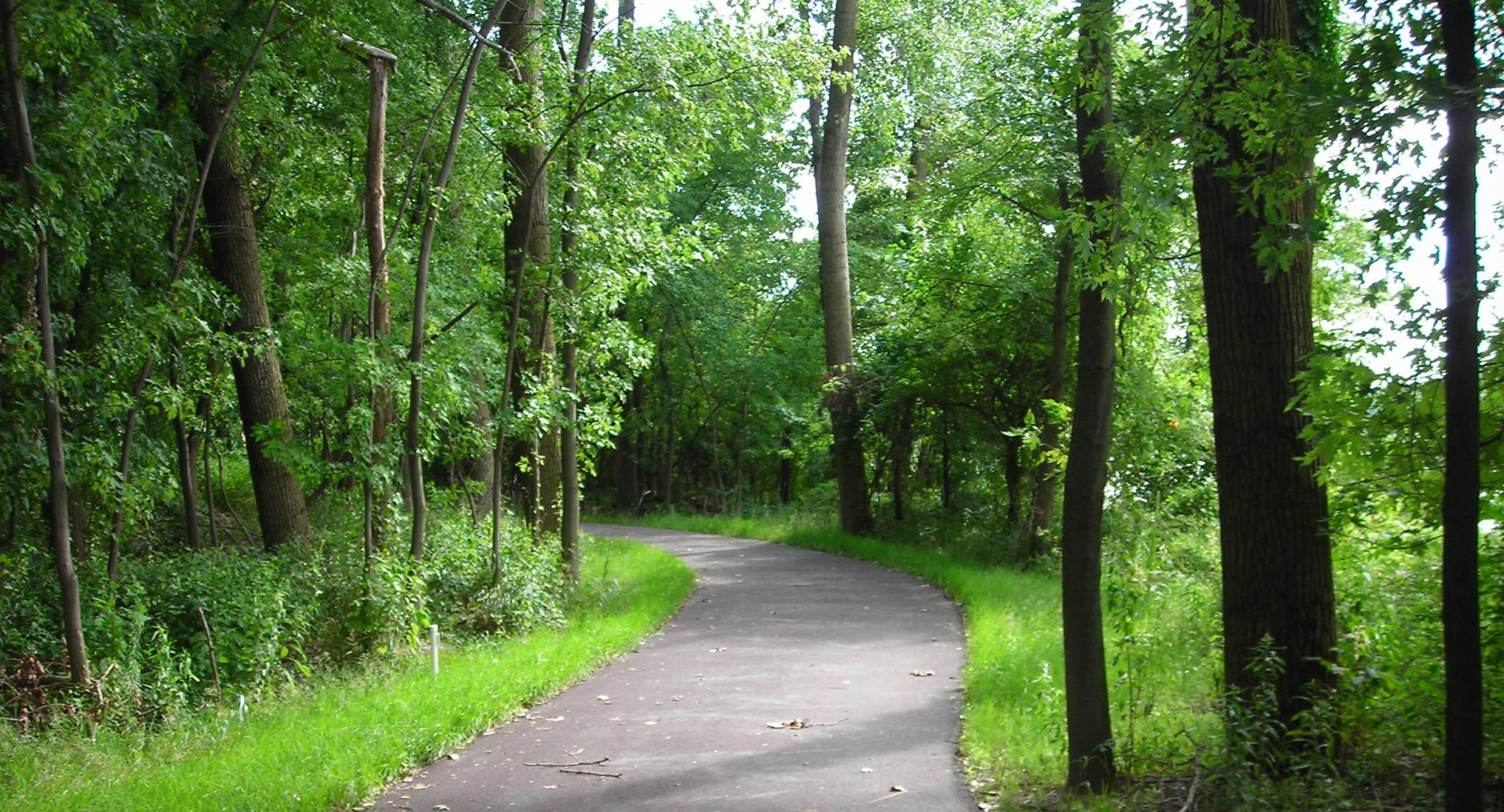
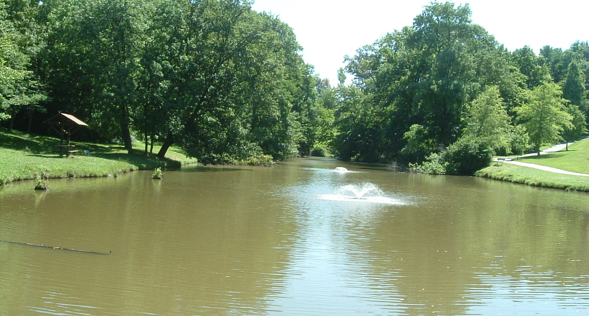
The Missouri Greenway: Truman Park is located in Hazelwood near the Saint Stanislaus Conservation Area with plans to eventually connect the two. You can explore a less than a mile out-and-back starting at the fishing pond in Truman Park. It’s a great place for a quiet and peaceful walk.
Projects In Progress
There are no current projects at this time.