Missouri Greenway
Truman Park
This section of the Missouri Greenway parallels the Missouri River near the Saint Stanislaus Conservation Area and Koch Park.
![]() Click here to download a printable Greenway Info Guide for the Missouri Greenway: Truman Park.
Click here to download a printable Greenway Info Guide for the Missouri Greenway: Truman Park.
Read More
Amenities
Getting Here
The trailhead in Truman Park is located near the intersection of North Lindbergh Boulevard (Highway 67) and I-270 on Howdershell Road in Hazelwood. If you live nearby, you may be able to walk to this greenway.
Each greenway is managed in cooperation with different municipalities and parks departments, who set the rules for greenway use, parking and hours of operation. Greenways often span multiple municipalities, so please be aware that these rules can change as you travel along the trail. Please be sure to follow all posted rules and regulations while you are living life outside!
Click one of the buttons below to plan your route with Google Maps.
Plan Your Route
Harry S Truman ParkIf you’re not too far from this greenway, you may be able to connect to it on your bike. Click the button above to plan your route with Google Maps.
You can access this greenway from the #77 bus and exit at Village Square Shopping Center. Walk or bike 1.8 miles to Truman Park. (There is a sidewalk and it is a bit hilly).
You cannot currently access this greenway via Metrolink.
You can park in Truman Park in Hazelwood.
Things To Do
fish
You can fish on the lake in Truman Park.
wildlife
You may spot some wildlife in the woods at Truman Park.
grill
You can grill out on the grills located in Truman Park.
play
You can play on the playgrounds in Truman Park or play a game of volleyball.
Trail Info
0.36 Miles
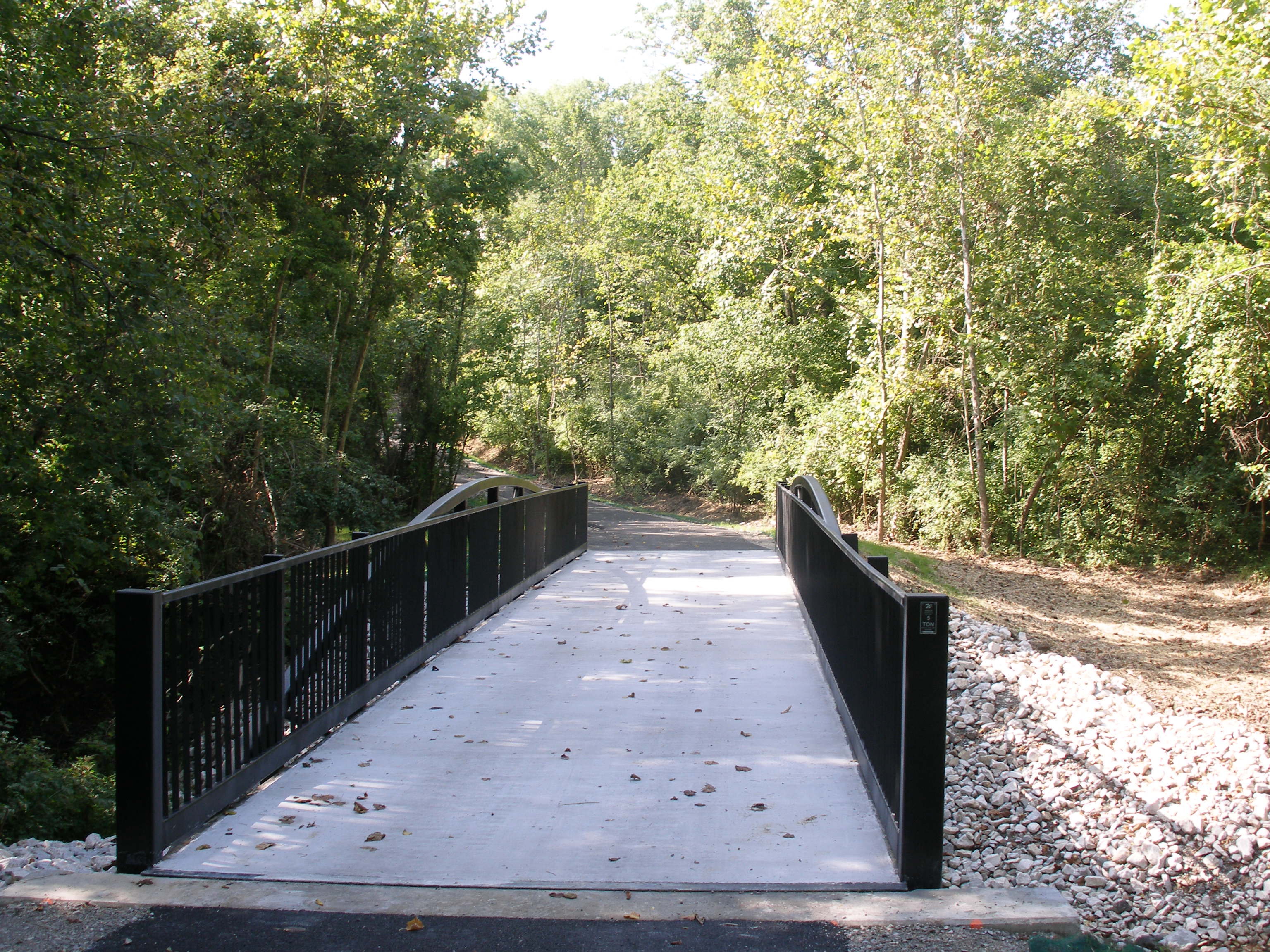
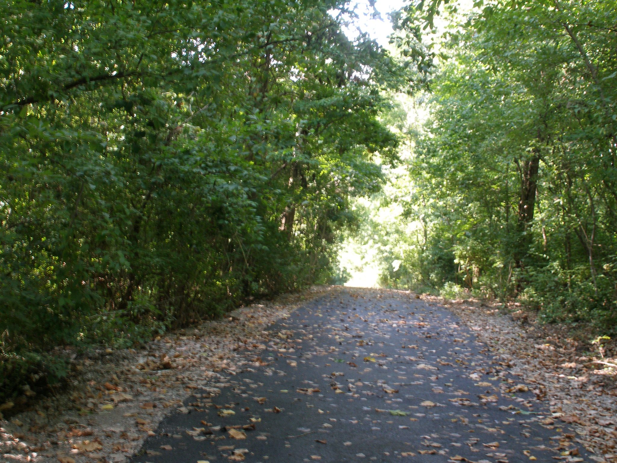
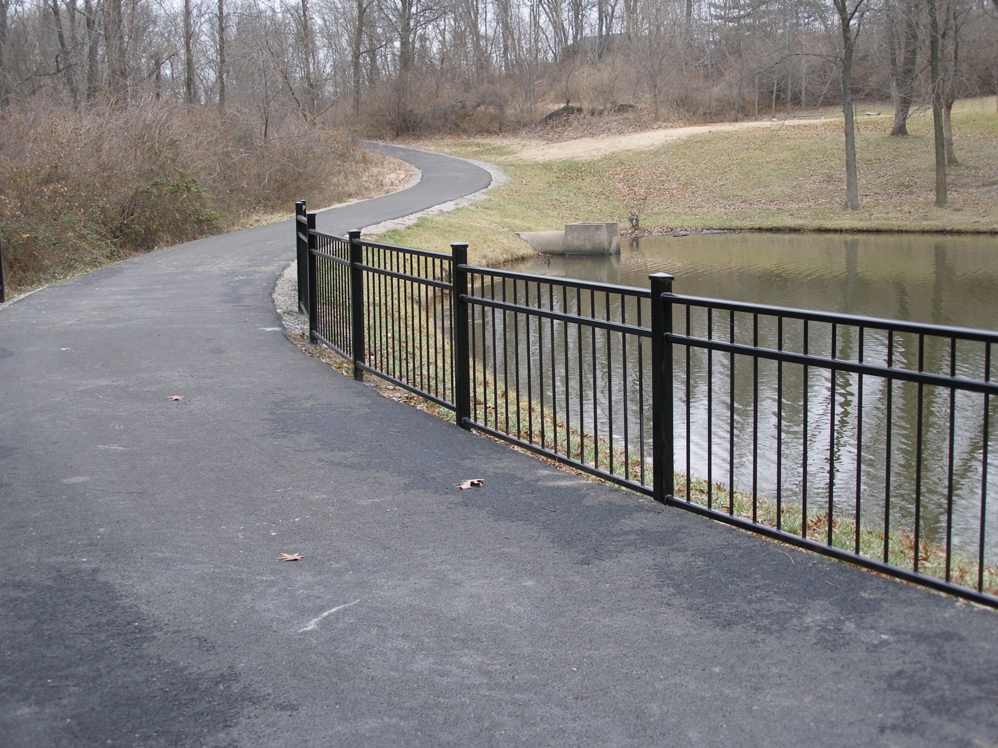
There is a little more than a third of a mile paved trail that extends from the fishing pond at the north of Harry St. Truman Park in Hazelwood toward the St. Stanislaus Conservation area.
It is mostly shady with some rolling hills and is a quiet and peaceful place to walk, ride a bike or just sit and enjoy the sounds of birds chirping in the woods! There is parking at a trailhead near Truman Park Pond.